|
Here are some photos from recent day trips or just riding around. All of the images are links to larger
photos. Click the image to view the large photo. Web sites for destinations that have one may
be visited by clicking the link below the photo.
Most of the photos were taken by me, but some were taken by friends and other riders. ALL PHOTOS ARE COPYRIGHTED
AND MAY NOT BE USED FOR ANY PURPOSE WITHOUT THE EXPRESS WRITTEN PERMISSION OF THE OWNER
|
|
|
INTRODUCTION |
|
This being my first year back on a bike since I was a teenager and this being my first exposure to writing
ride reports they are lacking in detail, photographs, and organization. I apologize for that and the
subsequent years are significantly better in those regards. I tended to focus more on getting where
I was going without incident than the scenery around me. Now, 3+ years later, I'm more able to divide
my attention between controlling the motorcycle, watching for danger areas around me, and still have enough
left over to enjoy the scenery a little bit. I see more, I enjoy the rides more, and I take the time
to stop and take photographs. So if this year seems a little bit disorganized you'll understand why.
As a little background, I rode motorcycles when I was a teenager. I was young, invincible, and slid
on the pavement and gravel more than once. I still have the scars to prove it. I eventually
grew away from them and didn't ride again for many years. In May, 2006 I decided I wanted another one
and bought my Suzuki V-Strom. That was followed in August, 2007 with a Honda VFR. Between
May, 2006 and September, 2009, which is when this introduction was added, I have travelled a bit over 50,000
miles on my bikes and visited 16 states. I also have a trip starting in about 12 days that will add
another 3,000 miles and 6 more states to that tally. I've seen places I never would have bothered to
visit in a car, I've met a number of wonderful people who have become close friends, and I have truly enjoyed
myself. I won't say I enjoyed every single mile because some were hot or cold or wet or long. After
I stop the discomfort is quickly forgotten but the memories and experiences stay. I wouldn't trade the
overall experiences for anything.
So here we go. A pictorial record of the places I've visited on a bike. Hope you enjoy them.
|
|
|
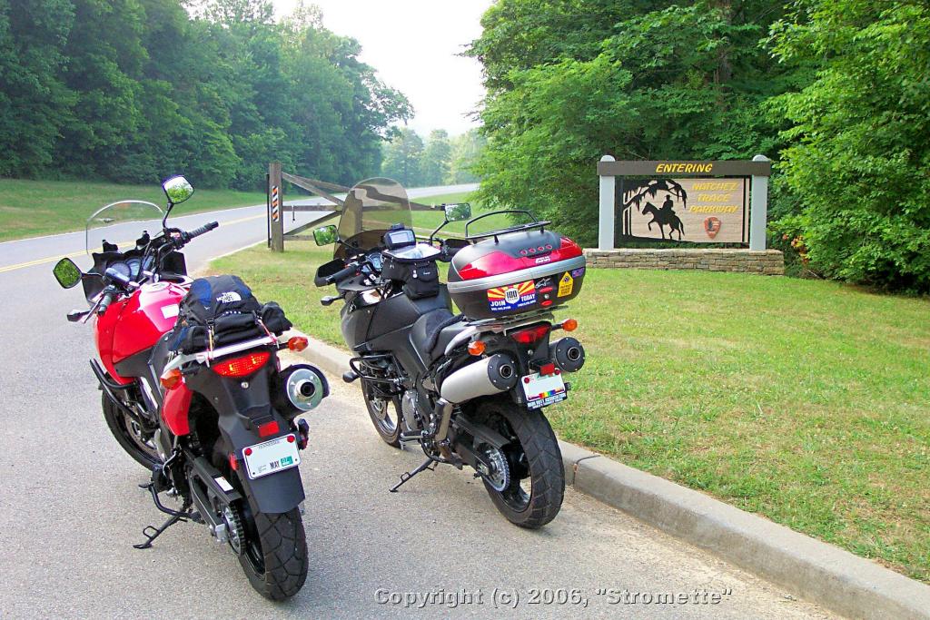
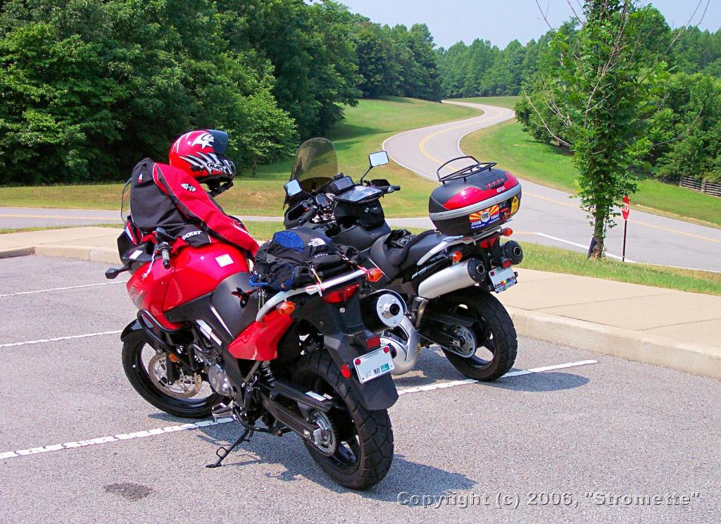
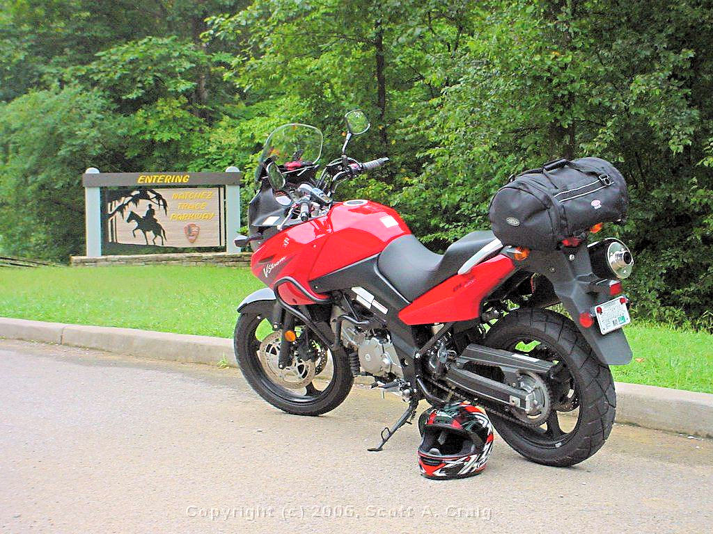
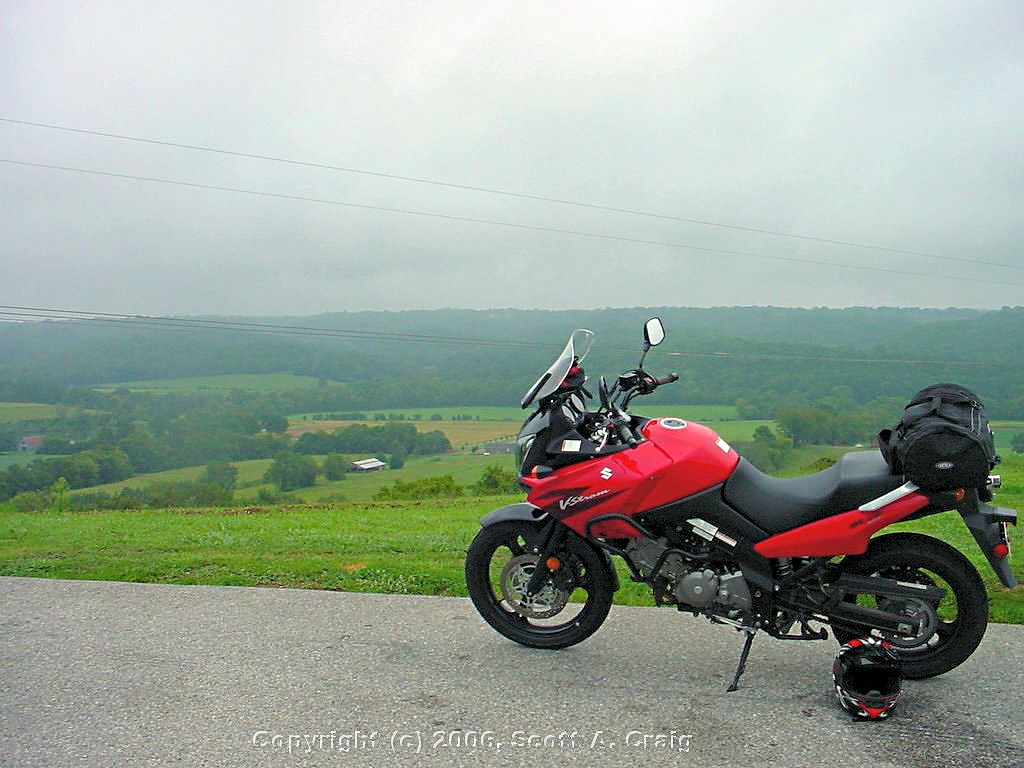
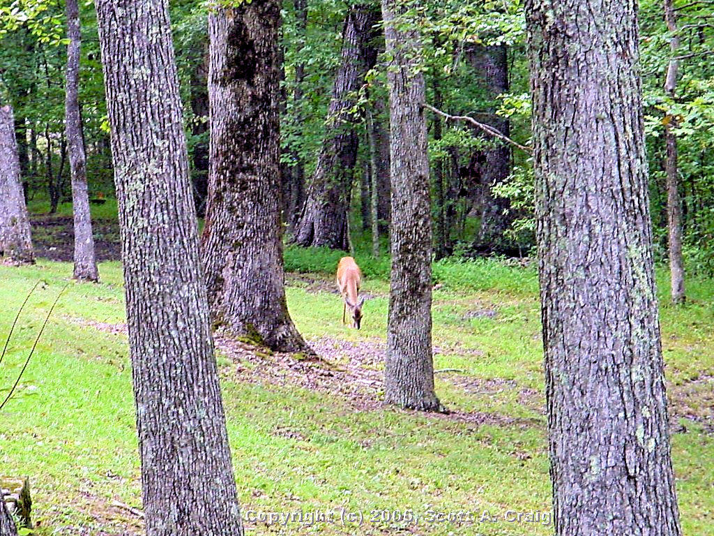
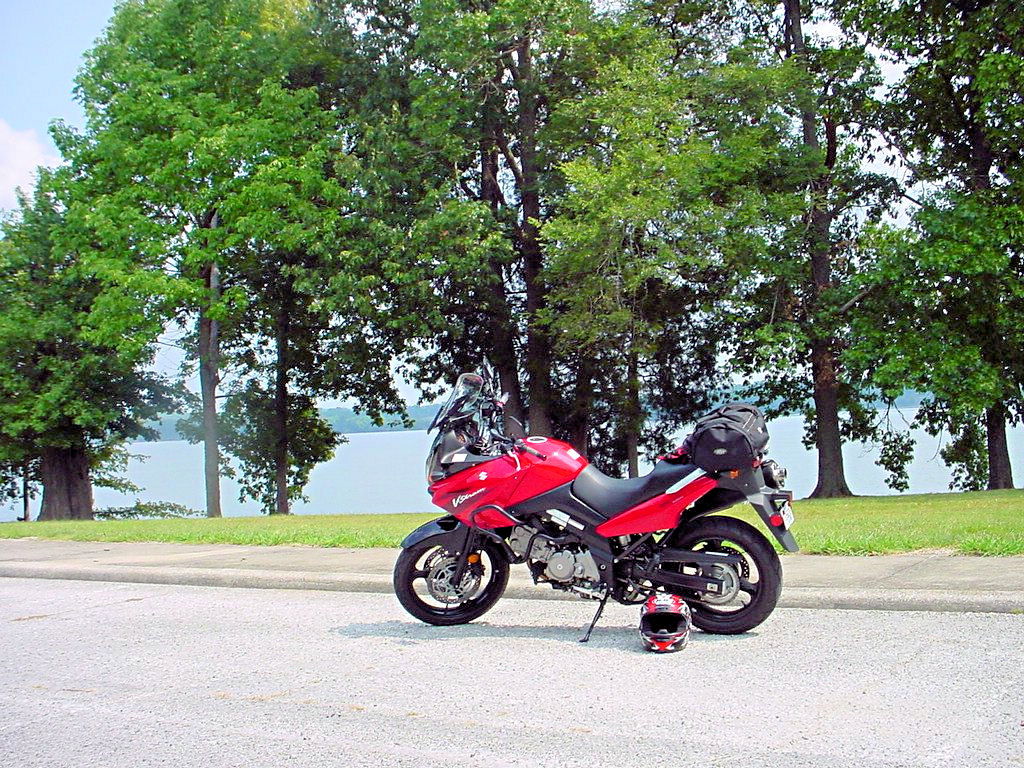
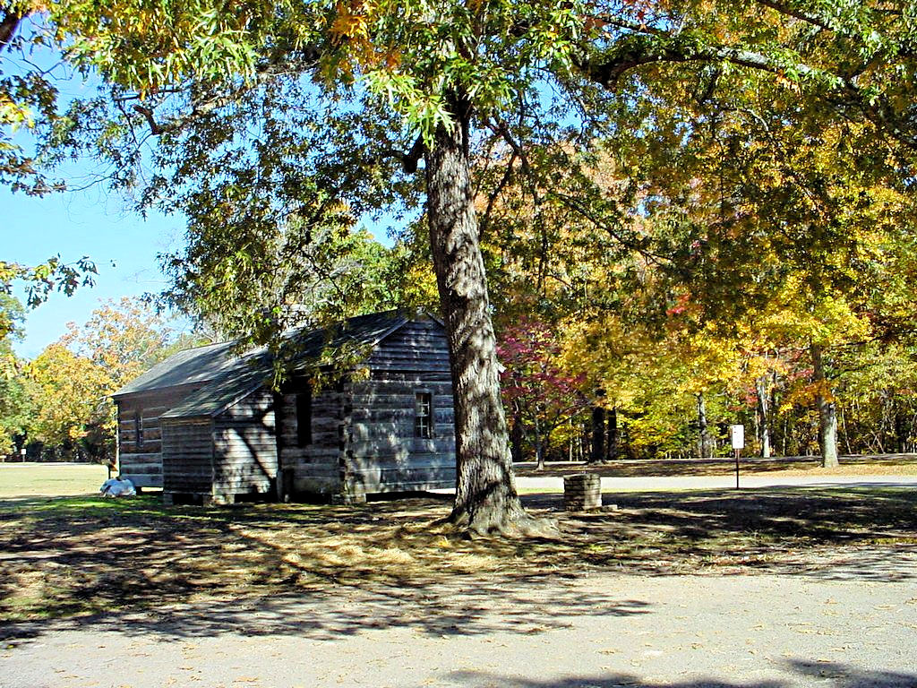
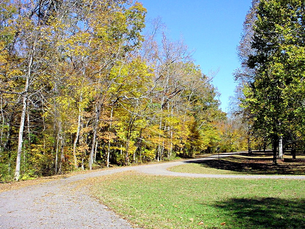
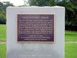
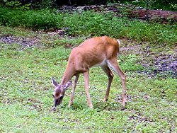
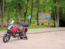
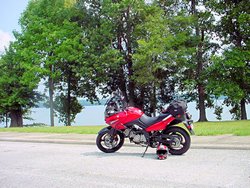
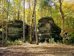
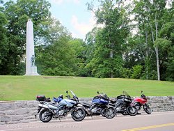
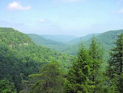
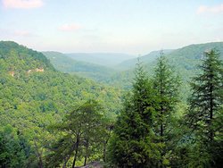
NATCHEZ TRACE PARKWAY -- July 3, 2006, August 12, 2006, September 9, 2006 |
|
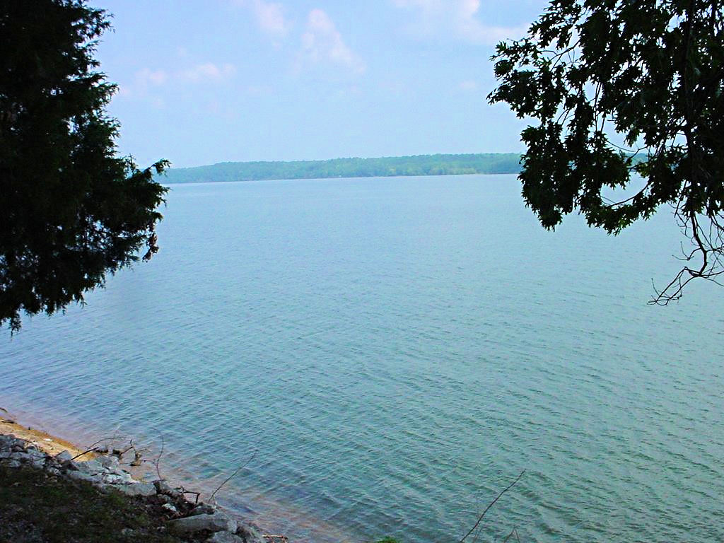
The Natchez Trace Parkway is 444 miles long and runs from Natchez, MS northward to Nashville, TN. It roughly
follows an old trading route that was used by traders and Indians in the late 1700's and early 1800's. There
are numerous "Historic" sites to stop and visit (although I question the significance of some of them!).
Today it is a modern 2-lane paved roadway. I have ridden about 180 miles of The Trace, from the northern
terminus at Highway 100 in Nashville to the Tupelo National Battlefield in Tupelo, MS. The northern 15 miles
are, to me, by far the most interesting because it is virtually one long series of curves (82 of them to be
exact!). I only show two "Rides" down it but in reality I've been up and down portions of it many
times. If I just want a nice quiet ride for an hour or so I frequently head that way to clear my
head. There is a loop about 65 miles long from my home to the Northern Terminus at Highway 100, down The Trace
to Leipers Fork (the best part of The Trace!), and back home through Franklin that is a great afternoon ride. To
me The Trace is just a fun place to ride a motorcycle.
The Trace is not technically difficult, the speed limit is relatively low, and it is frequented by rangers using radar
to catch people who decide to violate the speed limit. On the other hand it is a perfectly maintained 2-lane paved
road with very few straight sections, at least on the northern 15 miles. One curve typically feeds directly into
the next one. Commercial traffic is not allowed on the Trace so there are no large trucks. I don't know how
it is farther south of here, but in this area there is really very little traffic at all. I will typically see a
few cars, a motorcycle or two, and lots of bicycles. The lanes are wide with wide grass verges on both sides, the
surface is perfectly smooth, and there is little traffic. In other words it is a perfect place to just relax and
have a fun ride.
The National Park Service has an excellent web site pertaining to the Natchez Trace Parkway at
This Link It contains a lot of information about the history of the
Trace as well as maps depicting the entire route as it is today.
There are more photos of The Trace on my 2007 Rides Page
|
|
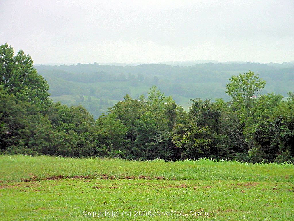
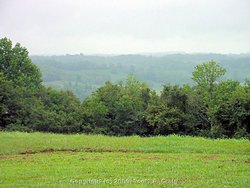
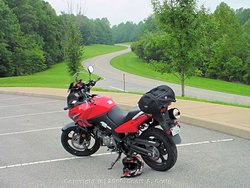
Natchez Trace Parkway
July 3, 2006 |
Natchez Trace Parkway
July 3, 2006 |

Natchez Trace Parkway
Northern Terminus - Mile 444.0
August 12, 2006 |
Natchez Trace Parkway
Water Valley Overlook - Mile 411.8
August 12, 2006 |
Natchez Trace Parkway
Water Valley Overlook - Mile 411.8
August 12, 2006 |
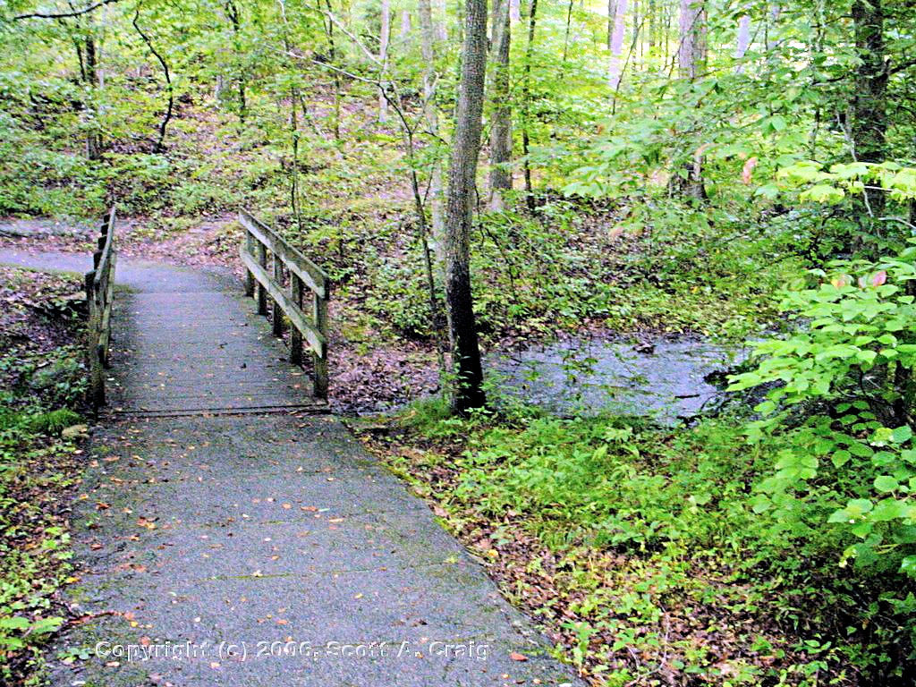
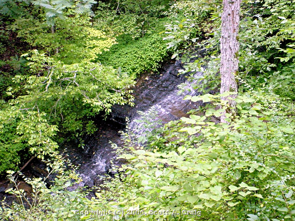
Natchez Trace Parkway
Water Fall
August 12, 2006 |
Natchez Trace Parkway
Water Fall
August 12, 2006 |
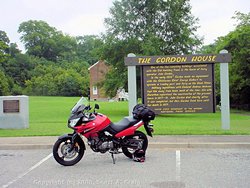
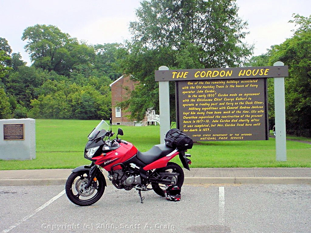
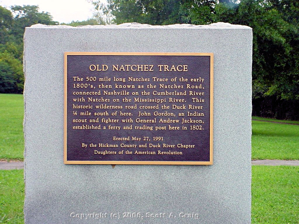
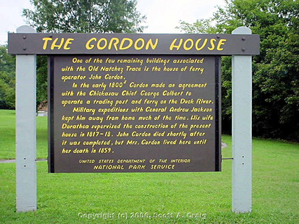
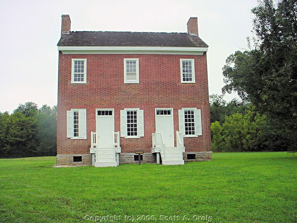
Natchez Trace Parkway
Gordon House - Mile 407.7
August 12, 2006 |
Natchez Trace Parkway
Gordon House - Mile 407.7
August 12, 2006 |
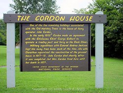
Natchez Trace Parkway
Gordon House - Mile 407.7
August 12, 2006 |

Natchez Trace Parkway
August 12, 2006 |
Natchez Trace Parkway
Typical section of the road
August 12, 2006 |

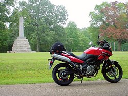
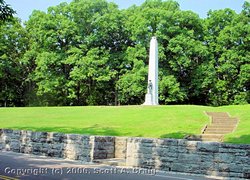
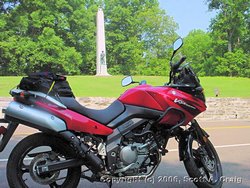
Natchez Trace Parkway
Meriweather Lewis Monument - Mile
385.9
August 12, 2006 |

Natchez Trace Parkway
Meriweather Lewis Monument - Mile
385.9
August 12, 2006 |
Natchez Trace Parkway
Meriweather Lewis Monument - Mile
385.9
August 12, 2006 |
Natchez Trace Parkway
Meriweather Lewis Monument - Mile
385.9
August 12, 2006 |

Natchez Trace Parkway
Meriweather Lewis Monument - Mile
385.9
August 12, 2006 |
Natchez Trace Parkway
Meriweather Lewis Monument - Mile
385.9
August 12, 2006 |
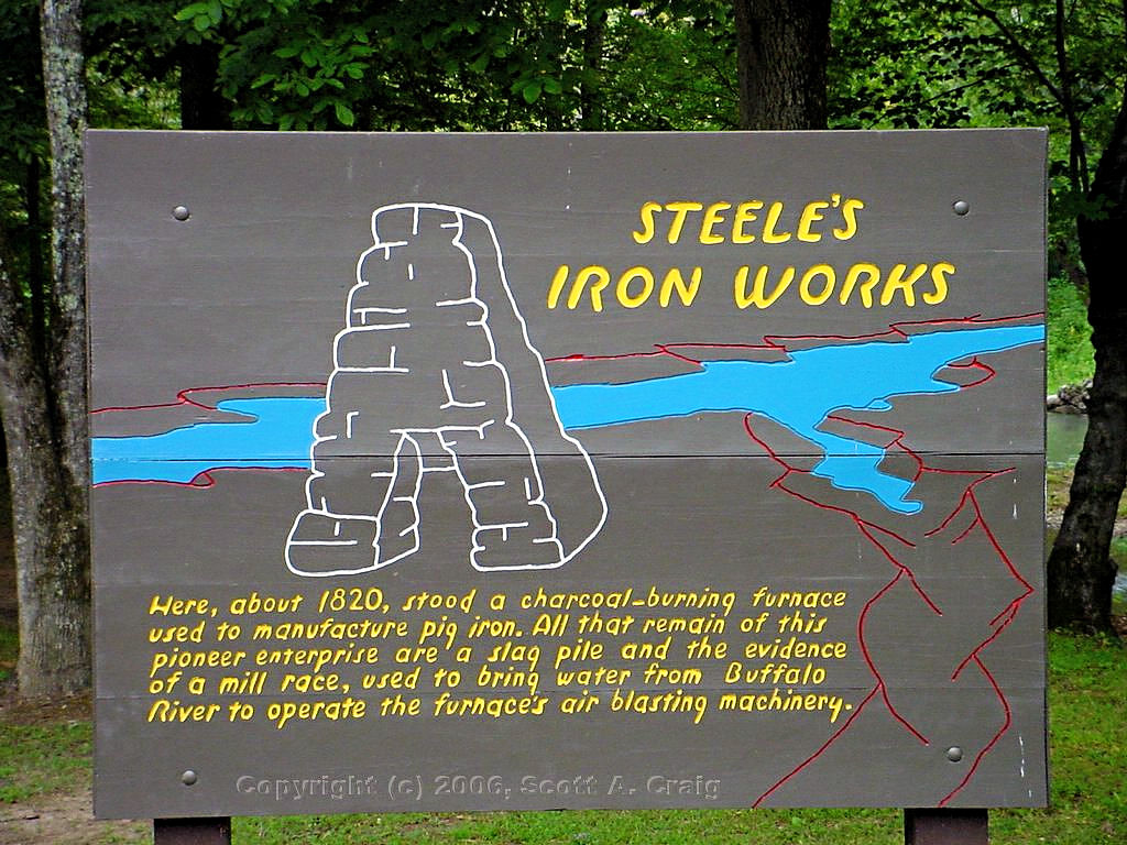
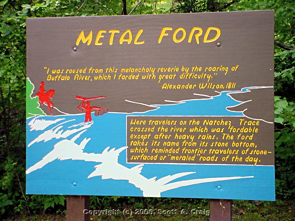
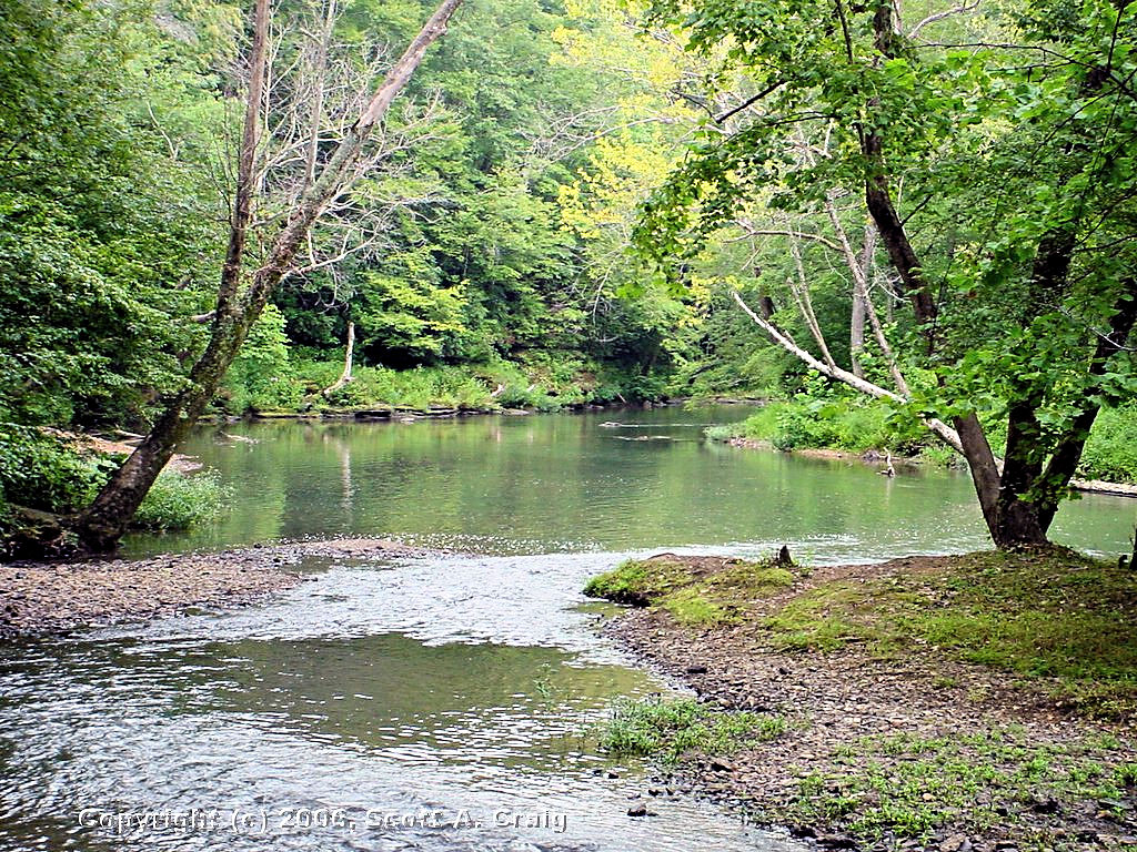
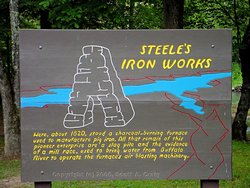
Natchez Trace Parkway
Metal Ford - Mile 382.8
August 12, 2006 |
Natchez Trace Parkway
Metal Ford - Mile 382.8
August 12, 2006 |
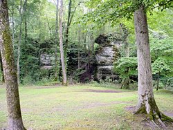
Natchez Trace Parkway
Metal Ford - Mile 382.8
August 12, 2006 |
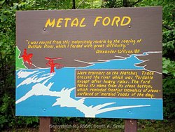
Natchez Trace Parkway
Metal Ford - Mile 382.8
August 12, 2006 |
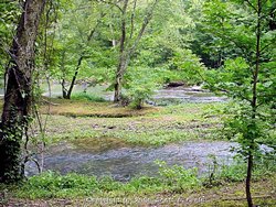
Natchez Trace Parkway
Metal Ford - Mile 382.8
August 12, 2006 |
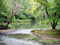
Natchez Trace Parkway
Metal Ford - Mile 382.8
August 12, 2006 |
Natchez Trace Parkway
Metal Ford - Mile 382.8
August 12, 2006 |
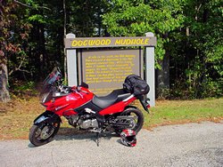
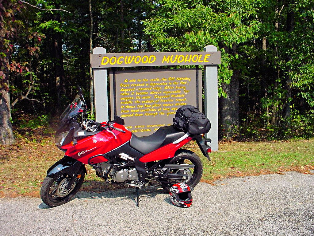
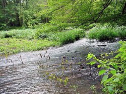
Natchez Trace Parkway
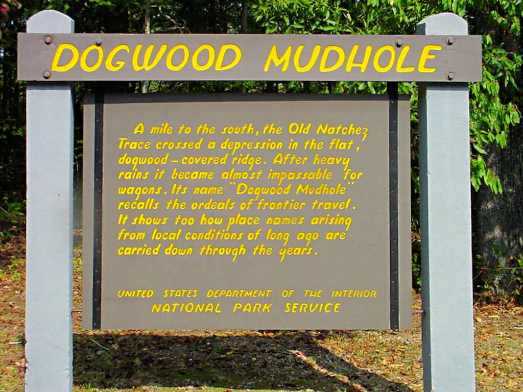
Dogwood Mudhole - Mile 367
September 9, 2006 |

Natchez Trace Parkway
Dogwood Mudhole - Mile 367
September 9, 2006 |
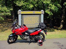
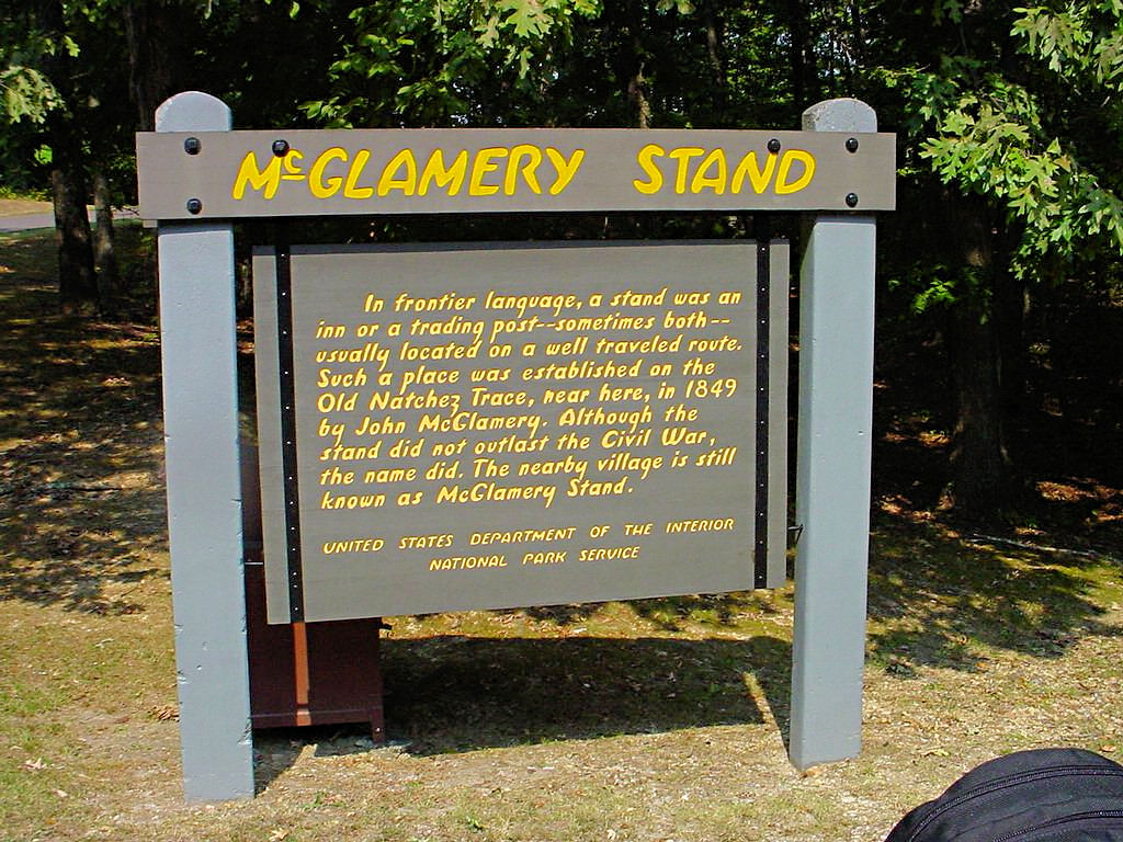
Natchez Trace Parkway
McGlamerys Stand - Mile 352
September 9, 2006 |

Natchez Trace Parkway
McGlamerys Stand - Mile 352
September 9, 2006 |
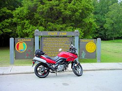
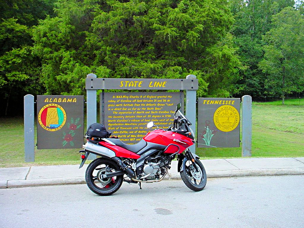
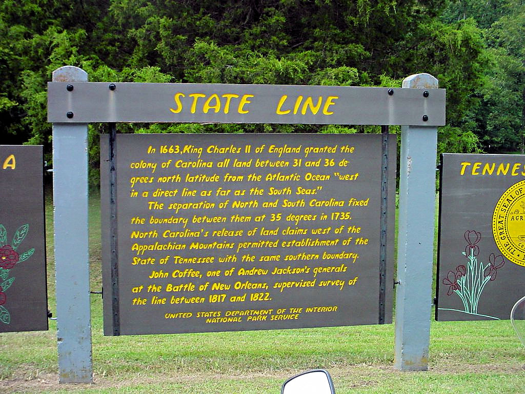
Natchez Trace Parkway
AL/TN State Line - Mile 341
September 9, 2006 |
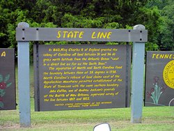
Natchez Trace Parkway
AL/TN State Line - Mile 341
September 9, 2006 |
Natchez Trace Parkway
Colbert Ferry Site - Mile 327
September 9, 2006 |

Natchez Trace Parkway
Colbert Ferry Site - Mile 327
September 9, 2006 |

Natchez Trace Parkway
Colbert Ferry Site - Mile 327
September 9, 2006 |
|
|
|
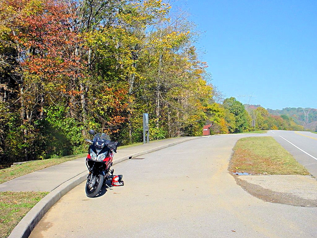
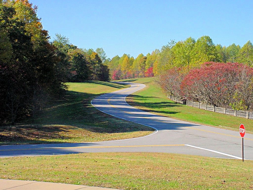
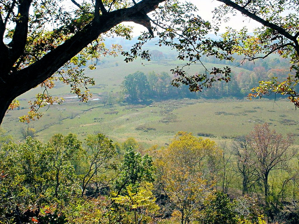
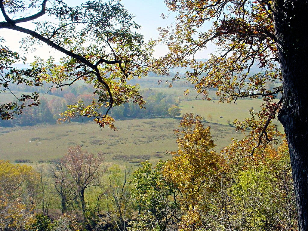
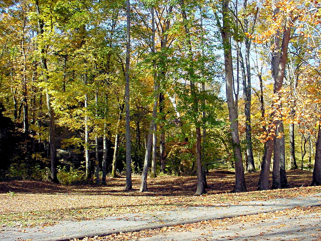
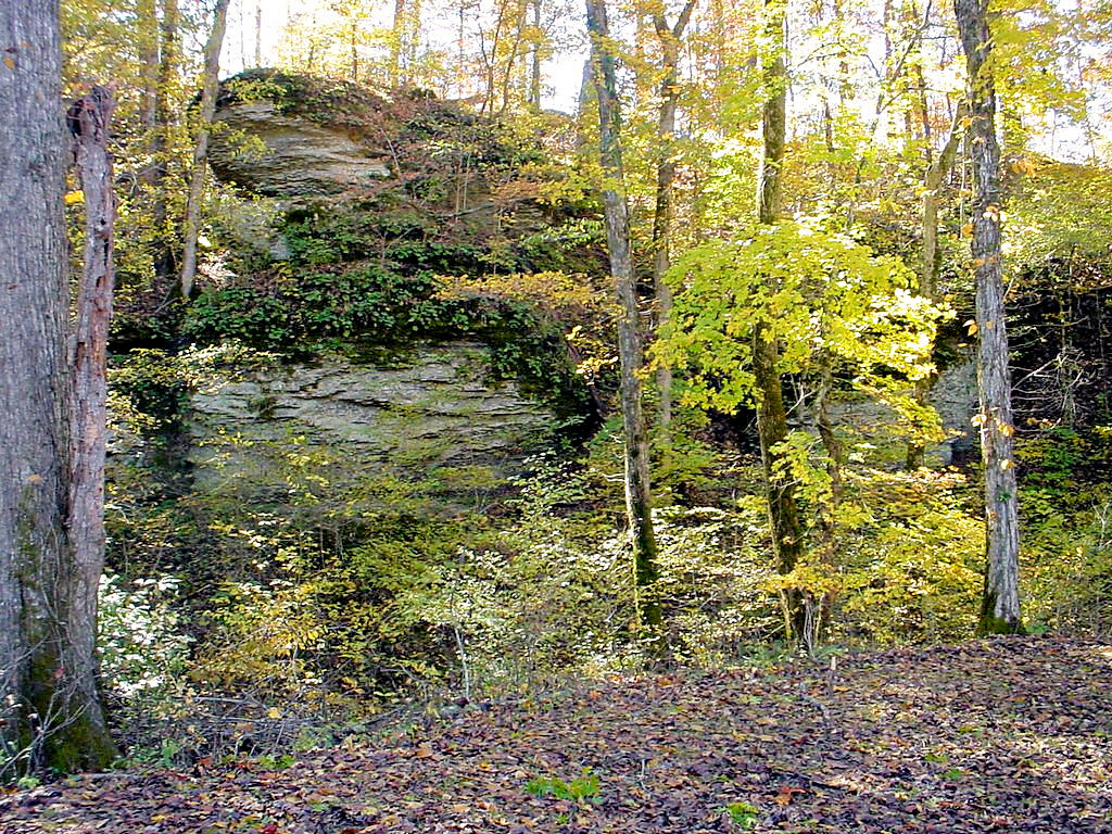
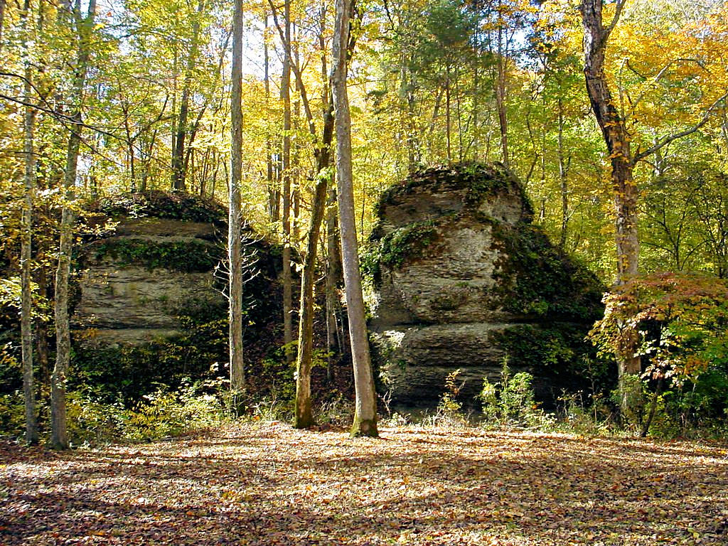
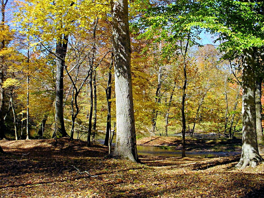
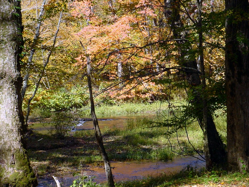
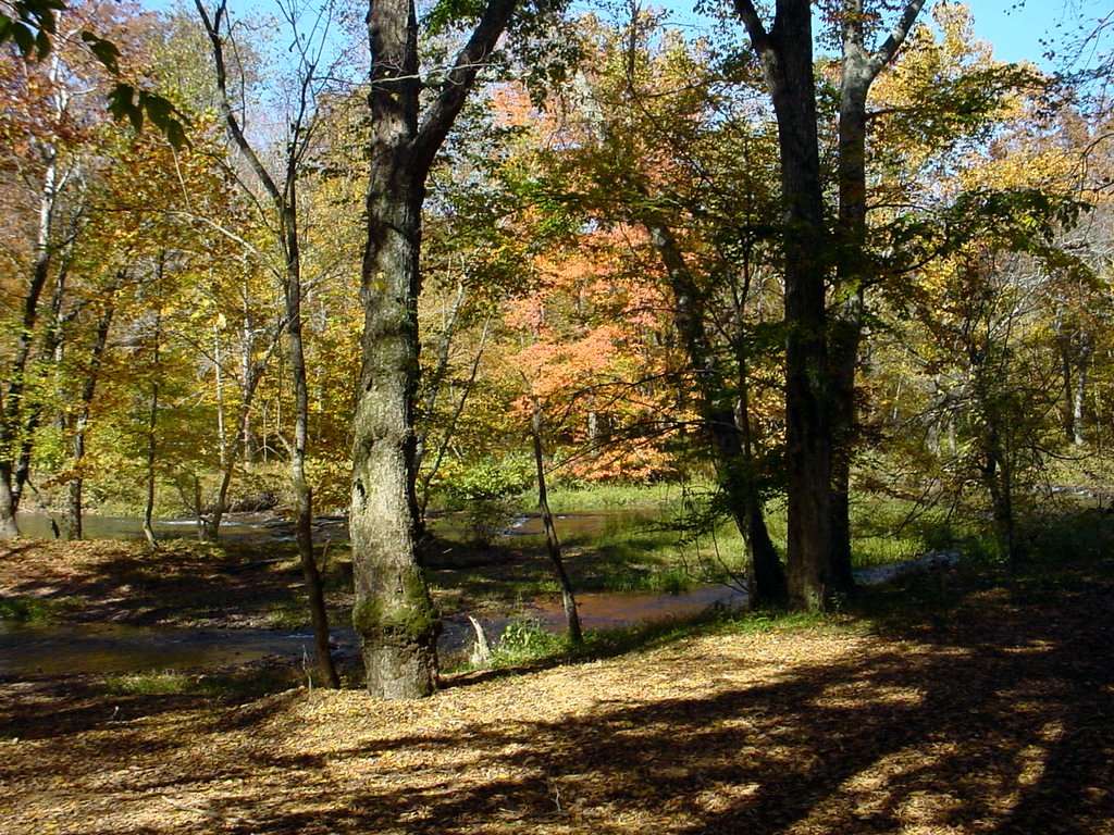
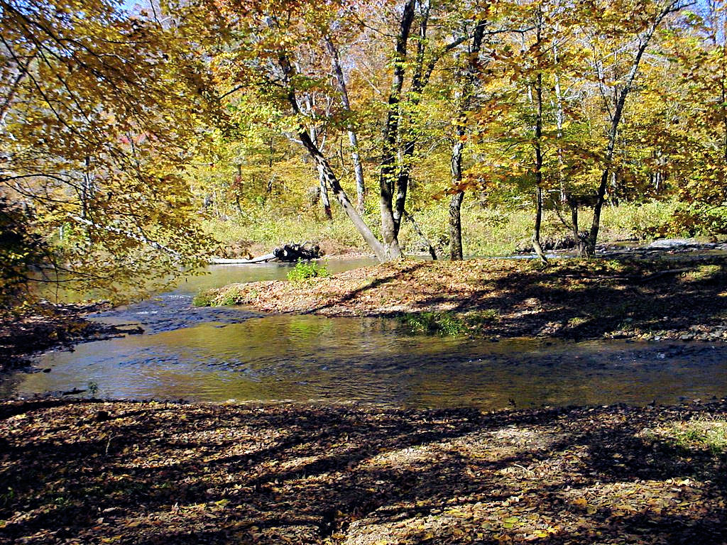
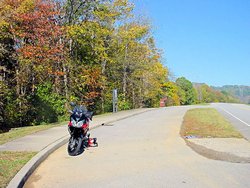
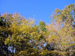
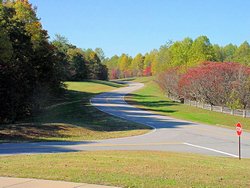
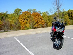
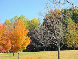
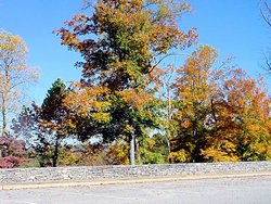
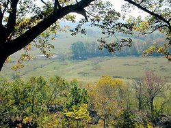
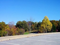
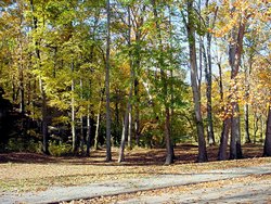
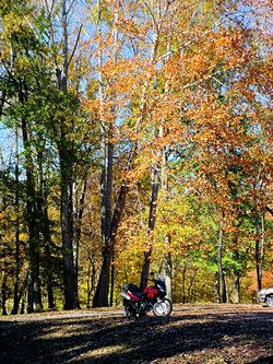
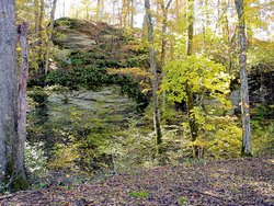
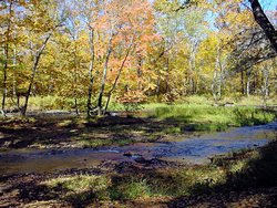
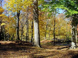
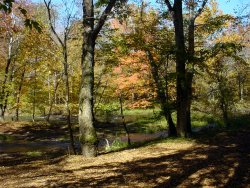
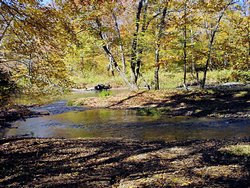
NATCHEZ TRACE PARKWAY -- October 21, 2006 - Fall Foliage Ride |
|
I just can't help it. When I want to go take pictures or just take a nice, quiet, relaxing ride
I automatically head for the Natchez Trace Parkway. There
is just something about that place that clears my head and allows me to just enjoy the scenery and the
ride.
The foliage here in Tennessee is starting to turn and I had to have some photos of it. It's difficult
to get good fall foliage photos here because of our weather. The trees turn at different times, and we
usually have enough wind that the early colors (yellow and orange) are gone by the time the reds start to
come out fully. I'm not a botanist so I can't explain it, but in the photos below you'll see what I
mean. Many of the trees are bright, vivid yellow or orange while others are still green. In a
few weeks the reds will be dominant but by that time most of the yellows will be on the ground.
There are more photos of The Trace on my 2007 Rides Page
|
Natchez Trace Parkway
Fall Foliage Ride
October 21, 2006
|
Natchez Trace Parkway
Fall Foliage Ride
October 21, 2006
|
Natchez Trace Parkway
Fall Foliage Ride
October 21, 2006
|
Natchez Trace Parkway
Fall Foliage Ride
October 21, 2006
|
Natchez Trace Parkway
Fall Foliage Ride
October 21, 2006
|
Natchez Trace Parkway
Fall Foliage Ride
October 21, 2006
|
Natchez Trace Parkway
Fall Foliage Ride
October 21, 2006
|

Natchez Trace Parkway
Fall Foliage Ride
October 21, 2006
|
Natchez Trace Parkway
Fall Foliage Ride
October 21, 2006
|

Natchez Trace Parkway
Fall Foliage Ride
October 21, 2006
|

Natchez Trace Parkway
Fall Foliage Ride
October 21, 2006
|
Natchez Trace Parkway
Fall Foliage Ride
October 21, 2006
|
Natchez Trace Parkway
Fall Foliage Ride
October 21, 2006
|
Natchez Trace Parkway
Fall Foliage Ride
October 21, 2006
|
Natchez Trace Parkway
Fall Foliage Ride
October 21, 2006
|
Natchez Trace Parkway
Fall Foliage Ride
October 21, 2006
|
Natchez Trace Parkway
Fall Foliage Ride
October 21, 2006
|

Natchez Trace Parkway
Fall Foliage Ride
October 21, 2006
|
Natchez Trace Parkway
Fall Foliage Ride
October 21, 2006
|
Natchez Trace Parkway
Fall Foliage Ride
October 21, 2006
|
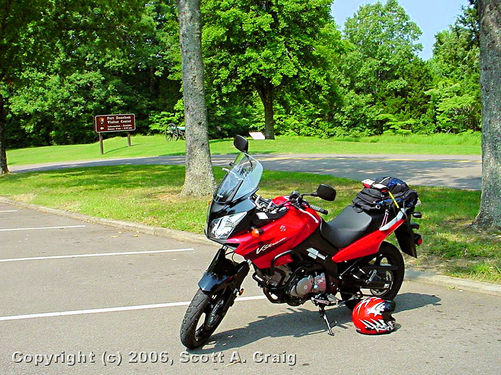
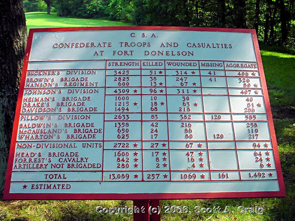
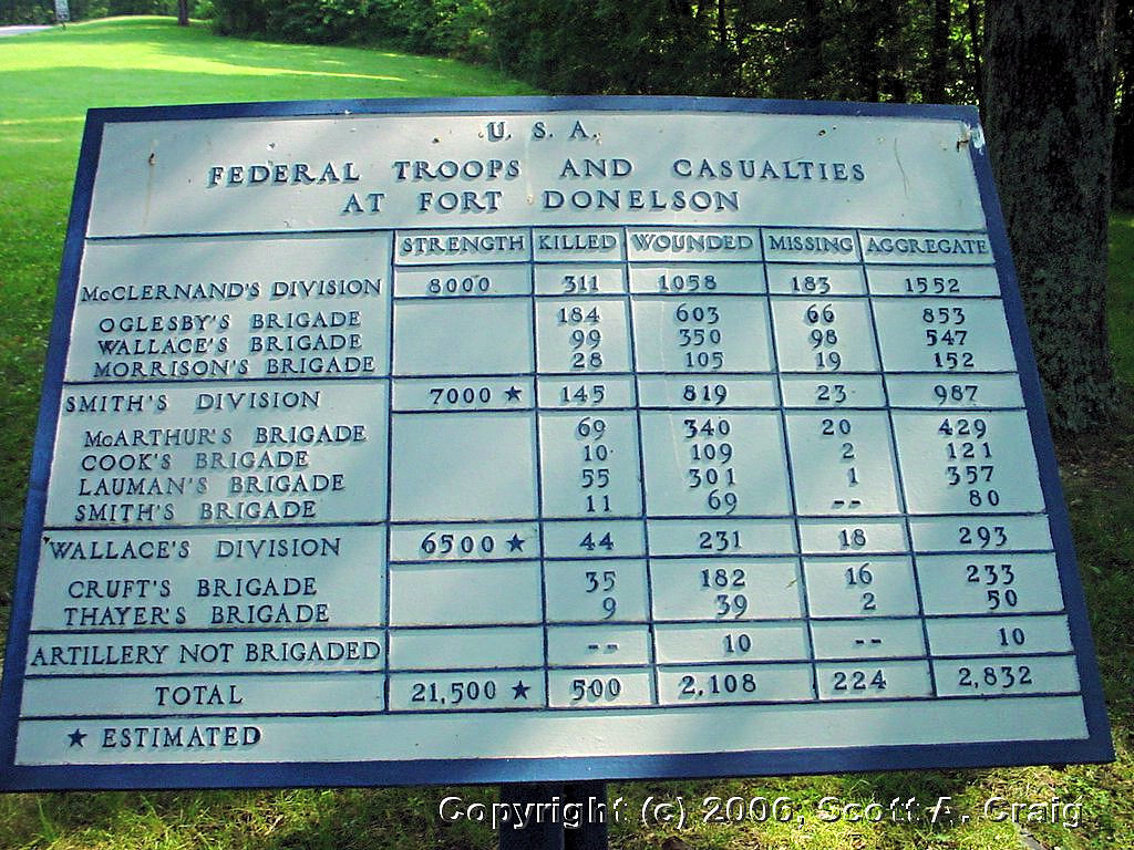
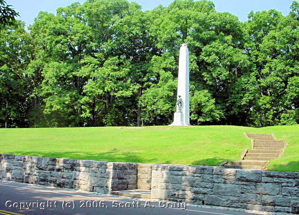
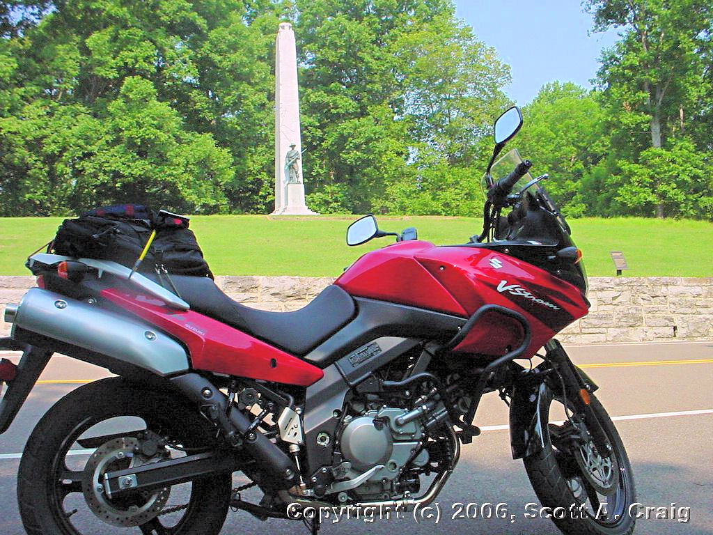
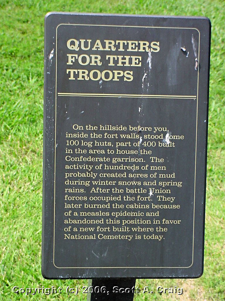
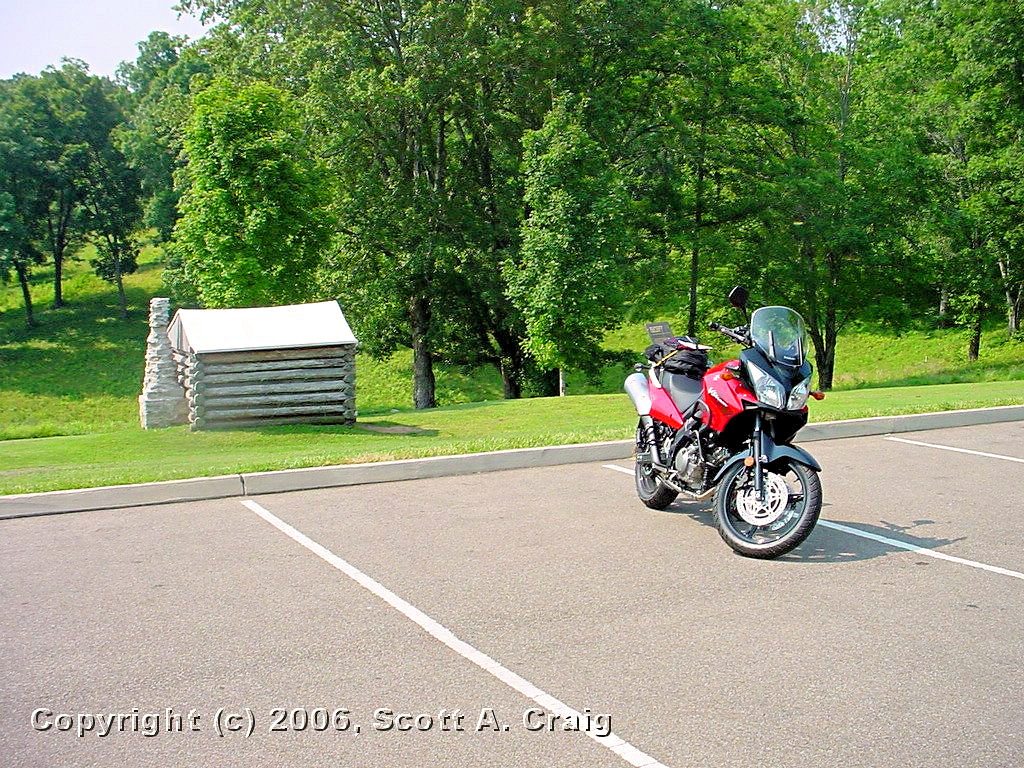
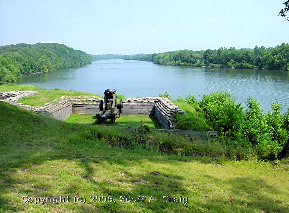
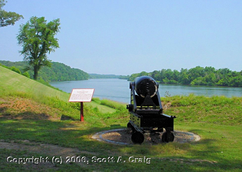
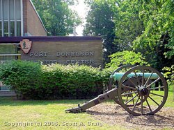
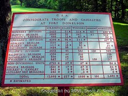
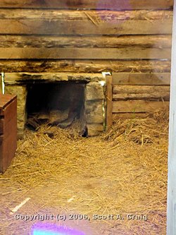
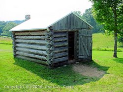
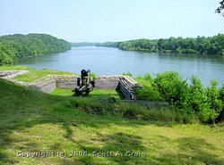
FT. DONELSON NATIONAL BATTLEFIELD -- July 8, 2006 & July 15, 2006
GPS Coordinates: N36.48252 W87.86288 +/-
|
|
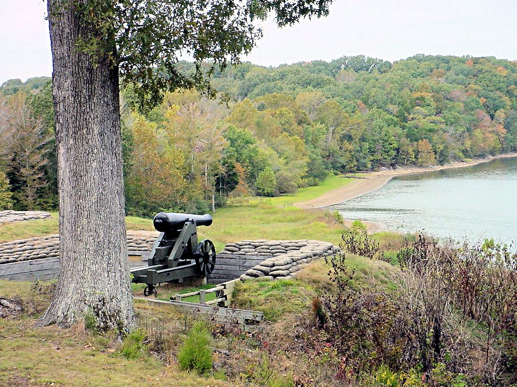
Fort Donelson National Battlefield in Dover, TN. was the site of a major battle during the Civil war. The
National Park Service has an excellent web site devoted to Fort Donelson at
This Link and there is some specific information regarding the battle for Fort Donelson on their site at
This Link
I have ridden my motorcycle up there twice simply because it is a fun ride. I also enjoy looking at
the sites of the battle. I'm not much of a historian, but standing there where the artillery is
mounted and looking down the river I realized that what I was seeing was virtually the exact same scene that
Confederate soldiers must have seen back in 1862.
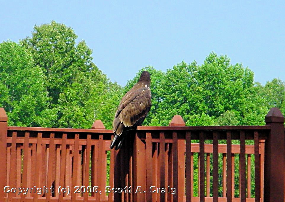
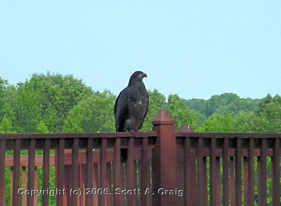
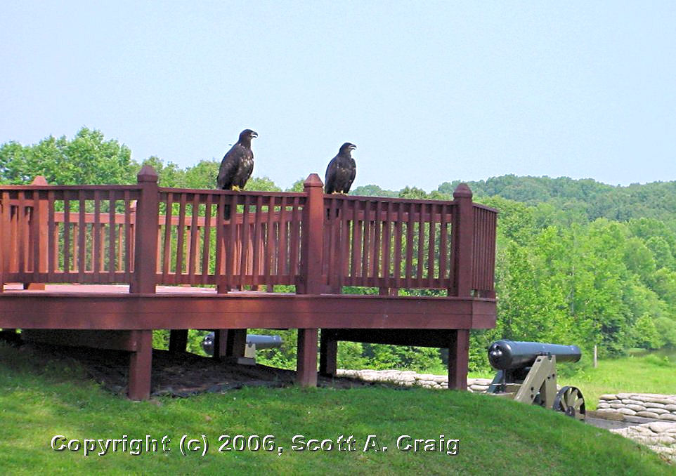
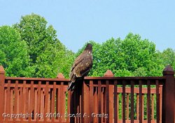
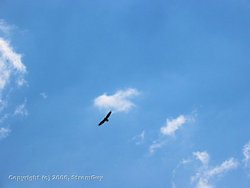
To me one of the most magnificent thing about the park is the family of Bald Eagles that lives there. Some photos
of them are included below, and they are absolutely majestic birds.
|
|
Ft. Donelson National Battlefield
Dover, TN - July 8, 2006 |

Ft. Donelson National Battlefield
Dover, TN - July 8, 2006 |
Ft. Donelson National Battlefield
Dover, TN - July 8, 2006 |

Ft. Donelson National Battlefield
Dover, TN - July 8, 2006 |
Ft. Donelson National Battlefield
Dover, TN - July 8, 2006 |
Ft. Donelson National Battlefield
Dover, TN - July 8, 2006 |
Ft. Donelson National Battlefield
Dover, TN - July 8, 2006 |
Ft. Donelson National Battlefield
Dover, TN - July 8, 2006 |
Ft. Donelson National Battlefield
Dover, TN - July 8, 2006 |
Ft. Donelson National Battlefield
Dover, TN - July 8, 2006 |
Ft. Donelson National Battlefield
Dover, TN - July 8, 2006 |

Ft. Donelson National Battlefield
Dover, TN - July 8, 2006 |
Ft. Donelson National Battlefield
Dover, TN - July 8, 2006 |

Ft. Donelson National Battlefield
Dover, TN - July 8, 2006 |

Ft. Donelson National Battlefield
Dover, TN - July 8, 2006 |

Ft. Donelson National Battlefield
Dover, TN - July 8, 2006 |
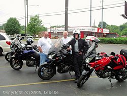
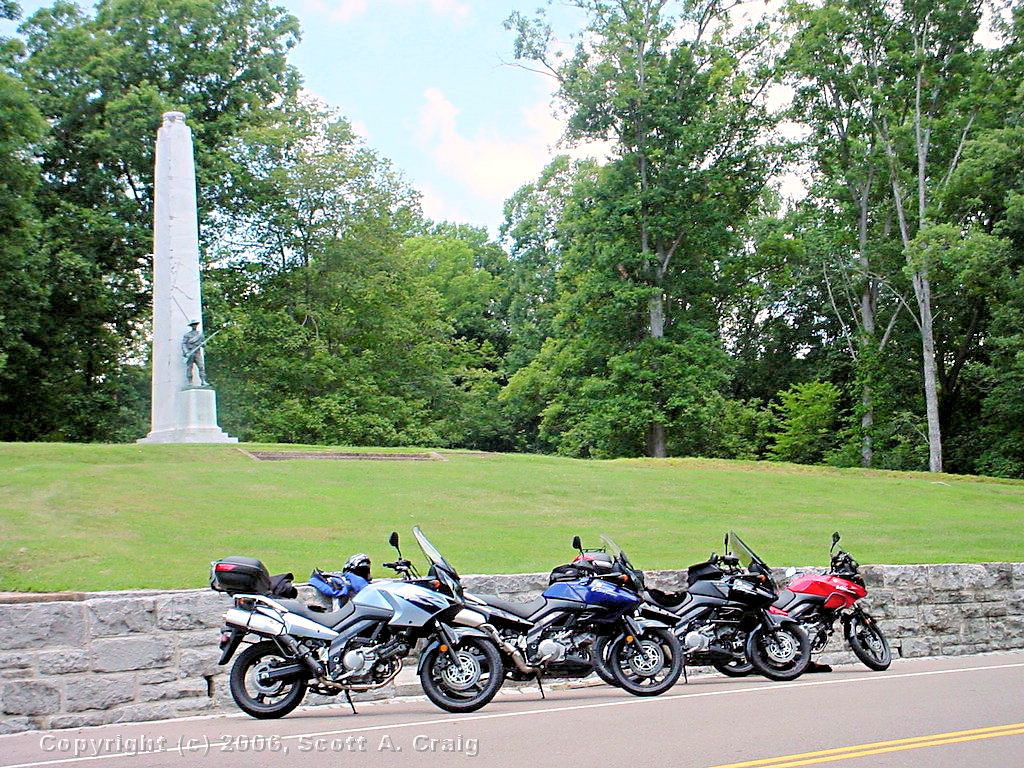
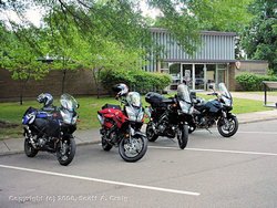
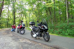
Me and some Riding Buddies
Belle Meade, TN - July 15, 2006 |
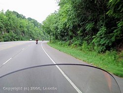
North on Highway 70 - July 15, 2006 |
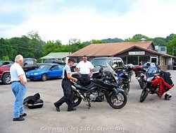
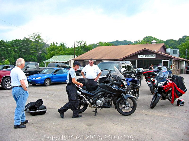
Me and some Riding Buddies - Fitz's Restaurant
Erin, TN - July 15, 2006 |
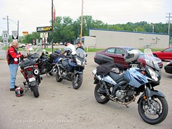
Me and some Riding Buddies - Fitz's Restaurant
Erin, TN - July 15, 2006 |
Ft. Donelson National Battlefield
Dover, TN - July 15, 2006 |
Ft. Donelson National Battlefield
Dover, TN - July 15, 2006 |
Ft. Donelson National Battlefield
Dover, TN - July 15, 2006 |

Ft. Donelson National Battlefield
Dover, TN - October 15, 2006 |
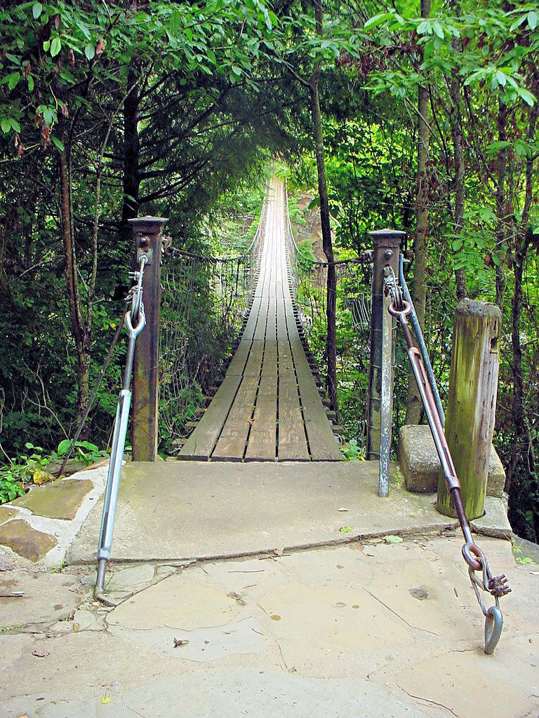
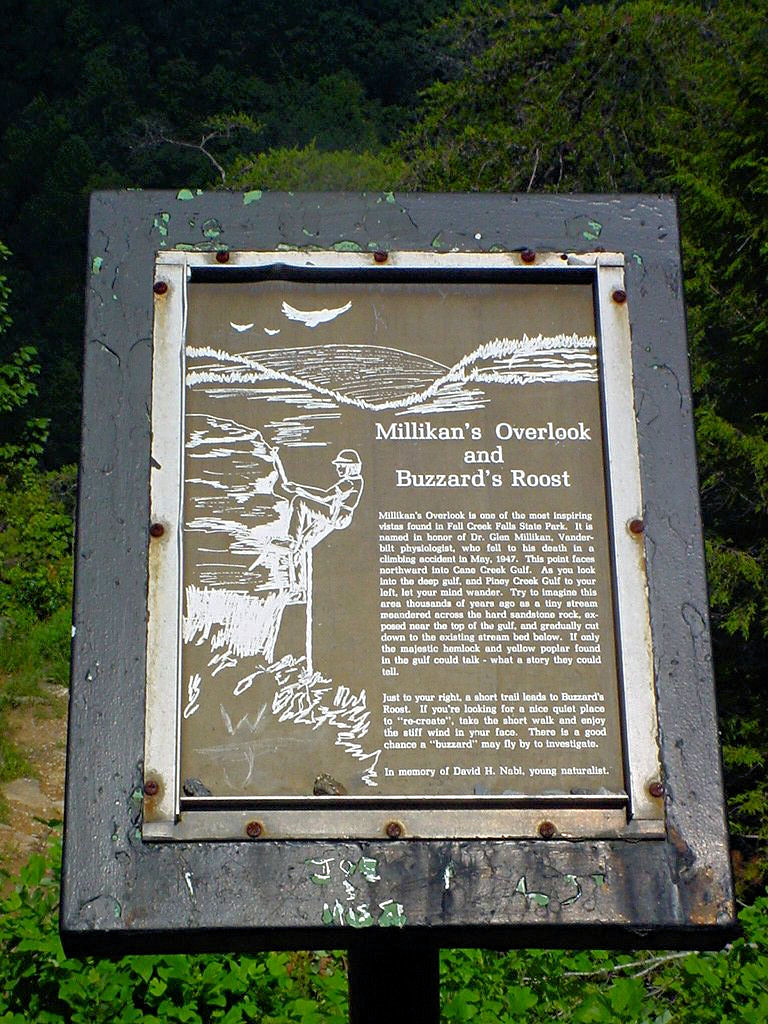
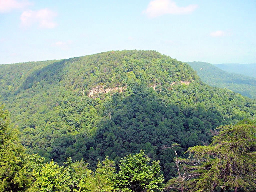
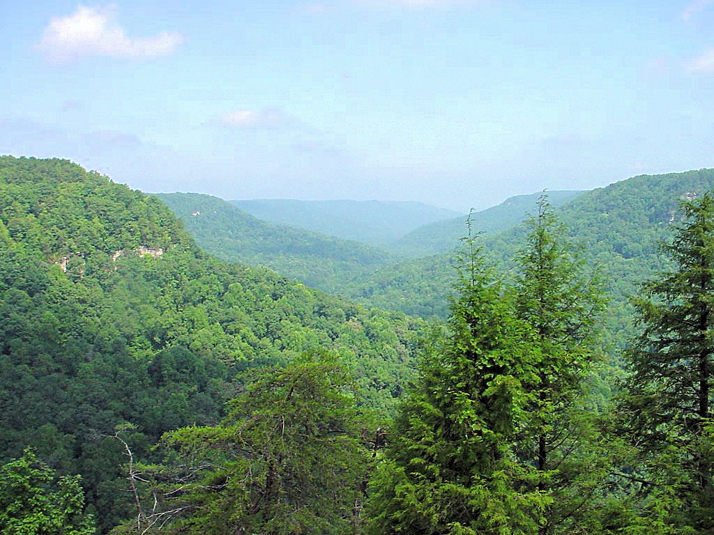
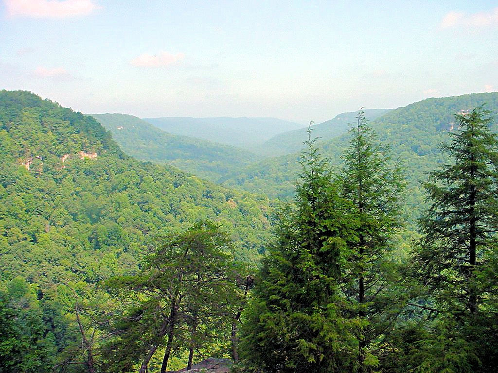
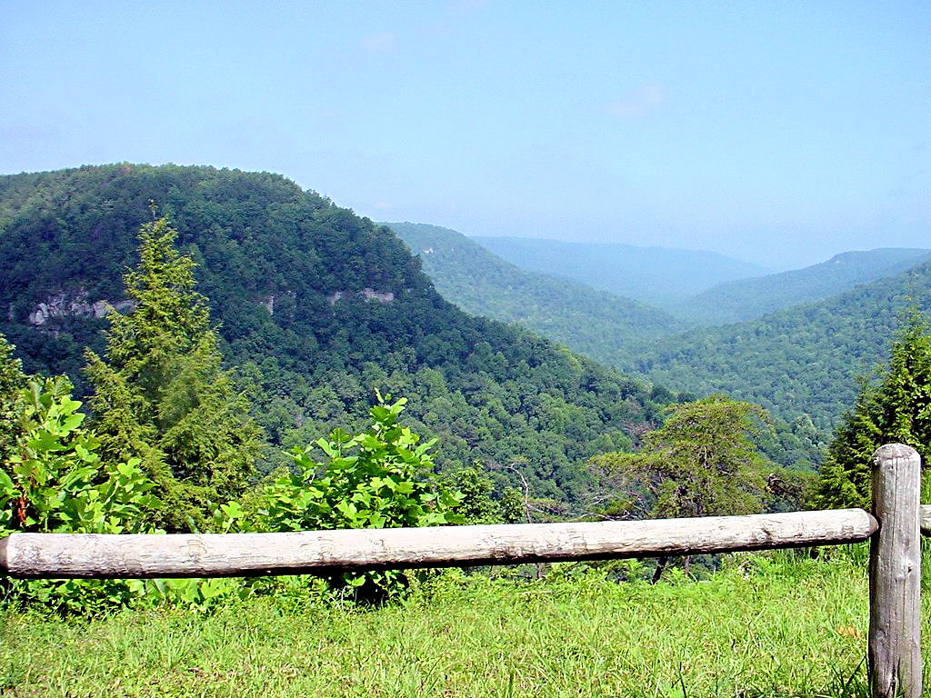
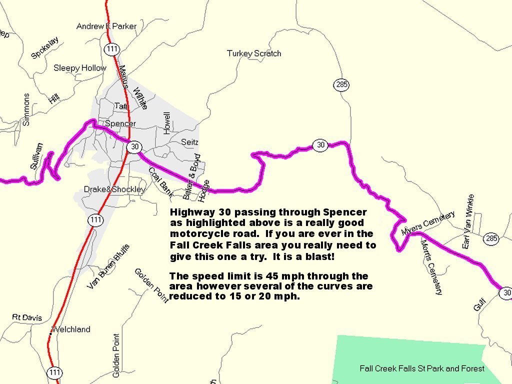
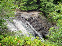
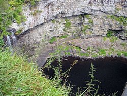
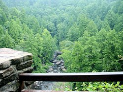
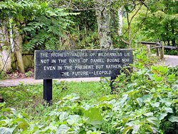
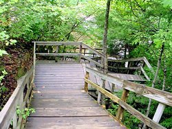
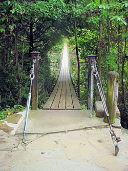
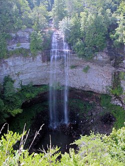
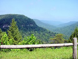
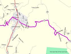
FALL CREEK FALLS STATE PARK -- August 5, 2006
GPS Coordinates: N35.66167 W85.34885 +/-
|
|
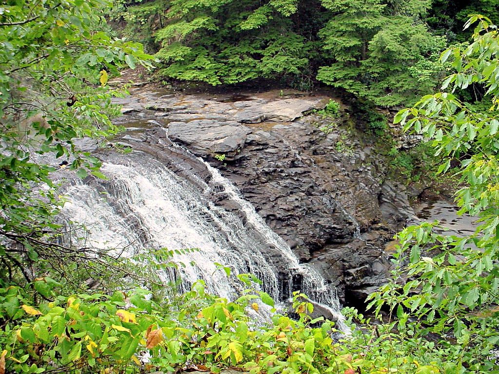
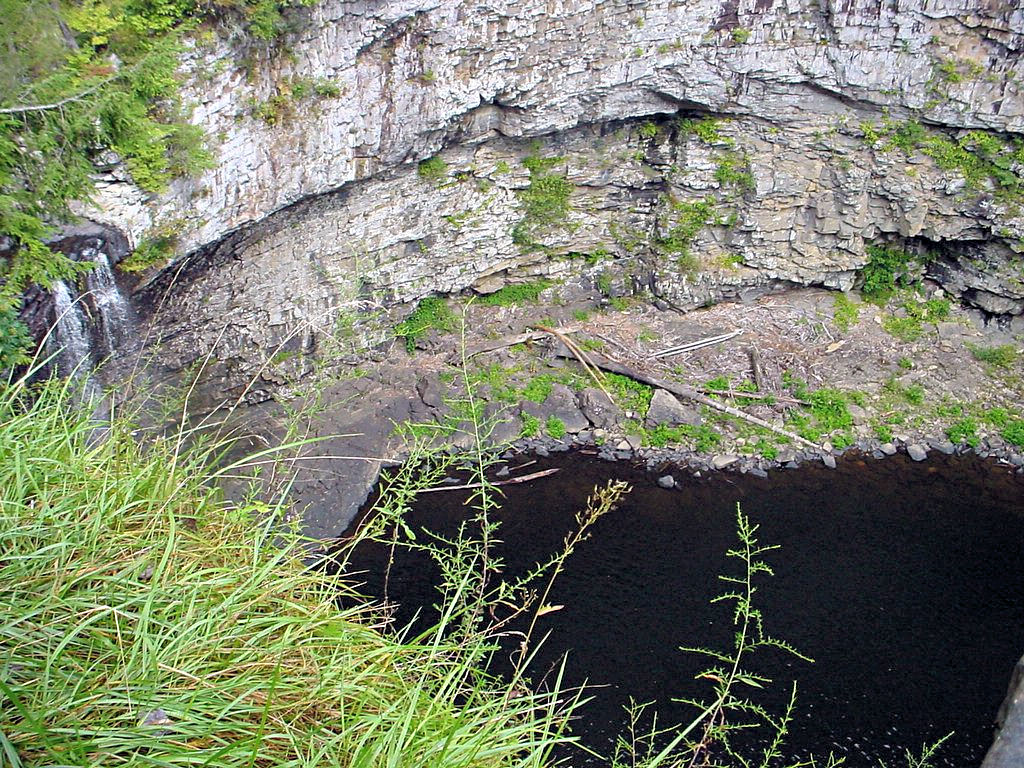
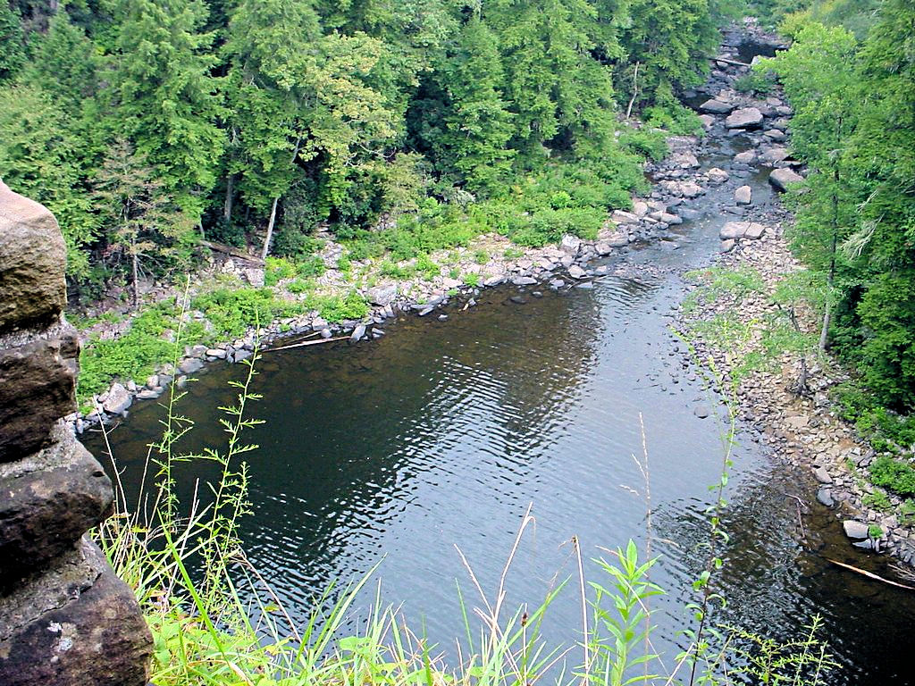
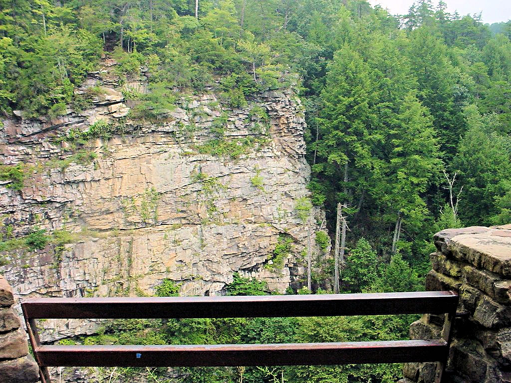
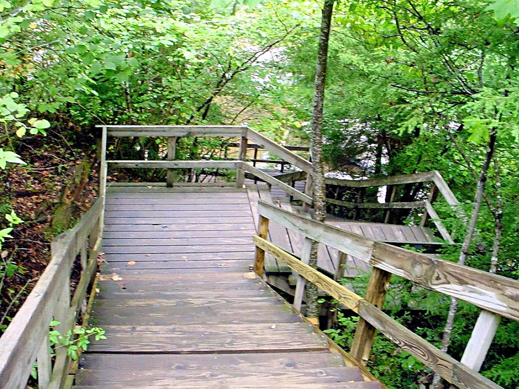
Although I have heard of Fall Creek Falls State Park for years I had never been there before. I decided it would
be a good ride for a Day Trip so I headed that way. I'm glad I did! The park is a beautiful place to visit
and Highway 30 east of Spencer, TN. leading into the park was truly worth the trip all by itself.
The Tennessee State Parks division has a web site devoted to Fall Creek Falls at
This Link
|
|
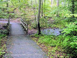
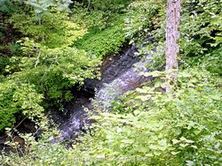
Fall Creek Falls State Park
Pikeville, TN - August 5, 2006 |
Fall Creek Falls State Park
Pikeville, TN - August 5, 2006 |

Fall Creek Falls State Park
Pikeville, TN - August 5, 2006 |

Fall Creek Falls State Park
Pikeville, TN - August 5, 2006 |
Fall Creek Falls State Park
Pikeville, TN - August 5, 2006 |
Fall Creek Falls State Park
Pikeville, TN - August 5, 2006 |
Fall Creek Falls State Park
Pikeville, TN - August 5, 2006 |
Fall Creek Falls State Park
Pikeville, TN - August 5, 2006 |
Fall Creek Falls State Park
Pikeville, TN - August 5, 2006 |
Fall Creek Falls State Park
Pikeville, TN - August 5, 2006 |
Fall Creek Falls State Park
Pikeville, TN - August 5, 2006 |
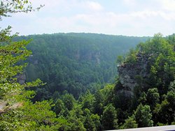
Fall Creek Falls State Park
Pikeville, TN - August 5, 2006 |
Fall Creek Falls State Park
Pikeville, TN - August 5, 2006 |
Fall Creek Falls State Park
Pikeville, TN - August 5, 2006 |
Fall Creek Falls State Park
Pikeville, TN - August 5, 2006 |
Highway 30 into Fall Creek Falls
Spencer, TN - August 5, 2006 |
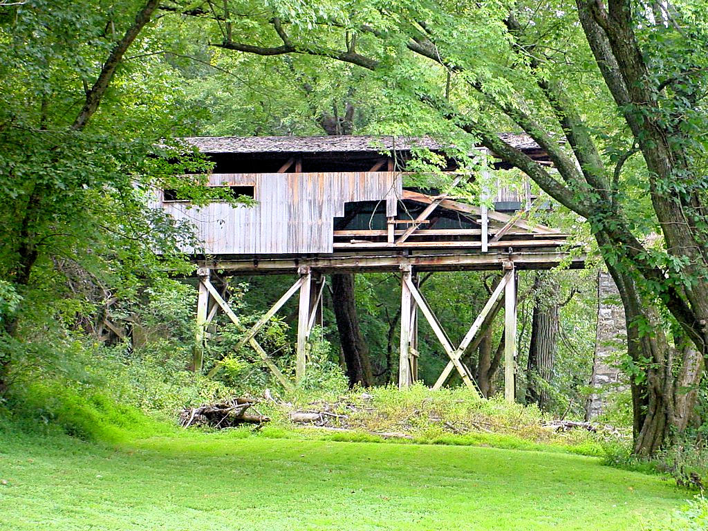
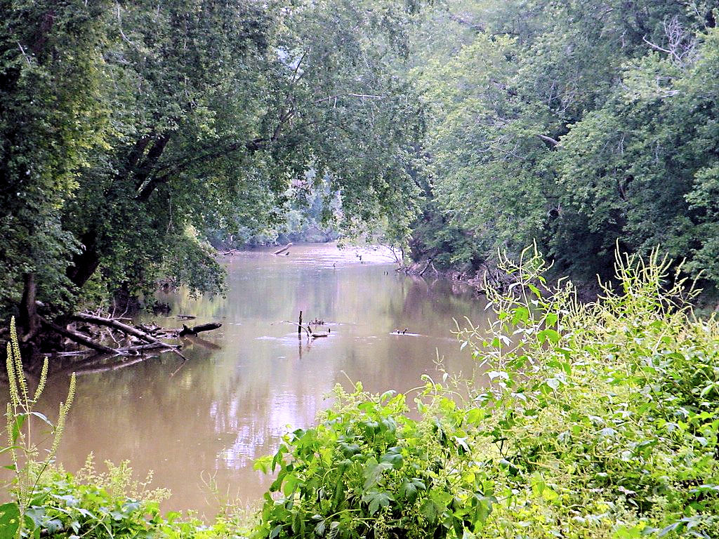
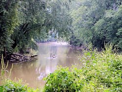
PORT ROYAL STATE PARK -- September 3, 2006
GPS Coordinates: N36.55344 W87.14184 +/-
|
|
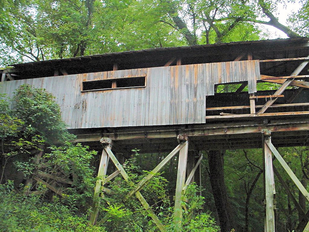
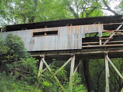
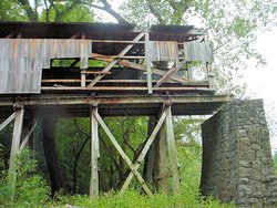
Port Royal State Park used to be an interesting place to go because of the old covered bridge that is there. Unfortunately,
as the photos show, there is not much left of it now. The history of the original covered bridge is unknown except that
its remains washed away in a flood during 1866. It was rebuilt in 1903 and deteriorated until it fell into the river in
1972. A third bridge was built in 1978 and this one, the bridge shown in the photos below, was virtually destroyed by a
tornado on June 10, 1998. Obviously it has not been rebuilt yet.
The park encompasses 26 acres and has a 1/4 mile bluff trail, however since I presently have a fractured right foot I chose not
to try it out.
The Tennessee State Parks division has a web site devoted to Port Royal State Park at
This Link
|
|

Port Royal State Park
Adams, TN - September 3, 2006 |
Port Royal State Park
Adams, TN - September 3, 2006 |
Port Royal State Park
Adams, TN - September 3, 2006 |
Port Royal State Park
Adams, TN - September 3, 2006 |
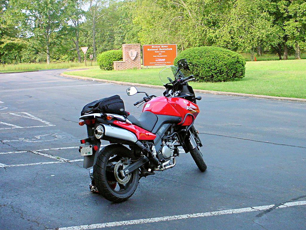
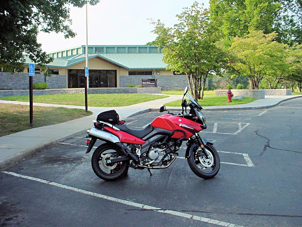
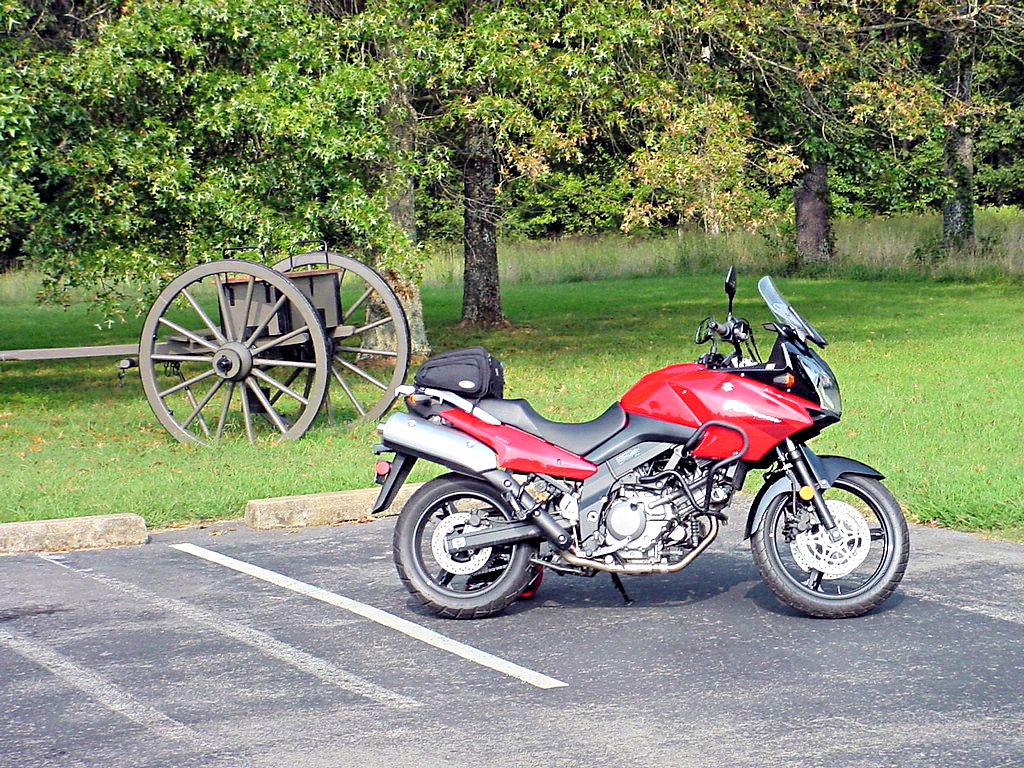
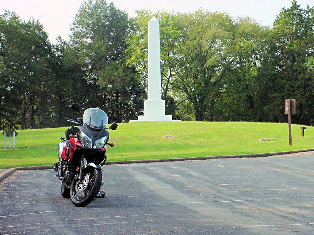
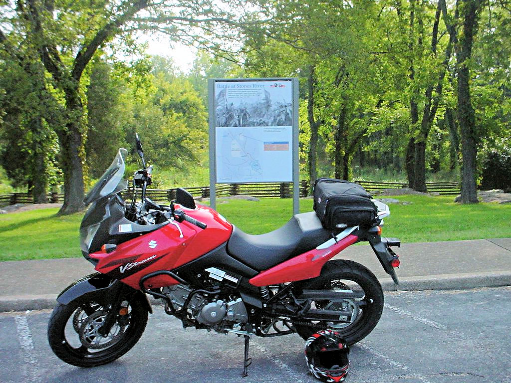
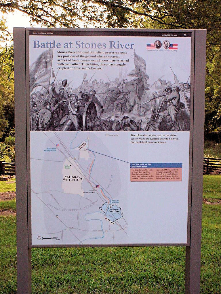
STONES RIVER NATIONAL BATTLEFIELD -- September 4, 2006
GPS Coordinates: N35.88081 W86.43489 +/-
|
|
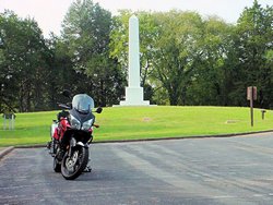
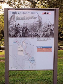
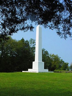
Stones River National Battlefield in Murfreeesboro, TN is the site of a civil war battle. From the
National Parks Service web site, "The Battle of Stones River began on the last day of 1862 and was one
of the bloodiest conflicts of the Civil War. The battle produced important military and political
gains for the Union, and it changed forever the people who lived and fought here."
The visitor's center has a very good display of relics from the battle as well as numerous paintings, photographs,
and other documents describing the battle. There is a tour through the park however there is a not a lot to
photograph. Those interested in the history of the Civil War would find the tour quite interesting but those
seeking photographs might not find the tour stops as interesting.
The National Park Service has a web site devoted to Stones River National Battlefield at
This Link
|
|
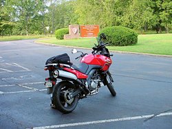
Stones River National Battlefield
Murfreesboro, TN - September 4, 2006 |

Stones River National Battlefield
Murfreesboro, TN - September 4, 2006 |

Stones River National Battlefield
Murfreesboro, TN - September 4, 2006 |
Stones River National Battlefield
Murfreesboro, TN - September 4, 2006 |

Stones River National Battlefield
Murfreesboro, TN - September 4, 2006 |
Stones River National Battlefield
Murfreesboro, TN - September 4, 2006 |
Stones River National Battlefield
Murfreesboro, TN - September 4, 2006 |
Stones River National Battlefield
Murfreesboro, TN - September 4, 2006 |
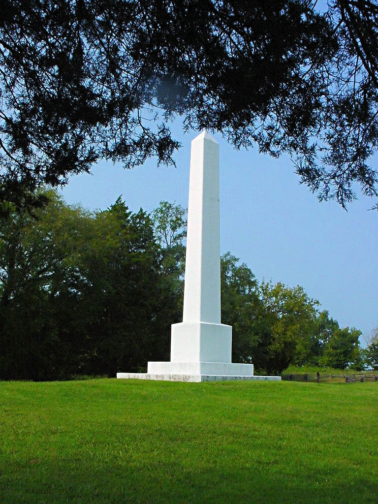
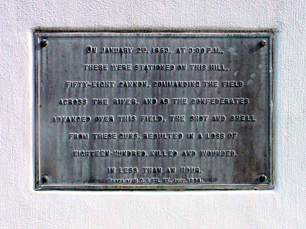
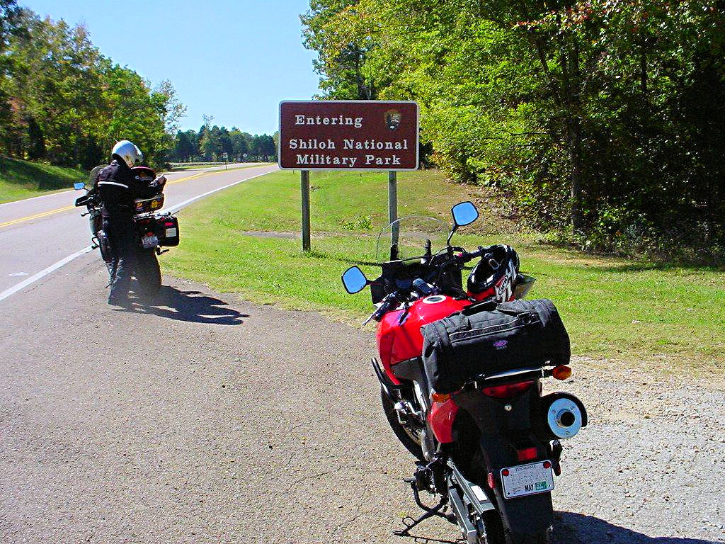
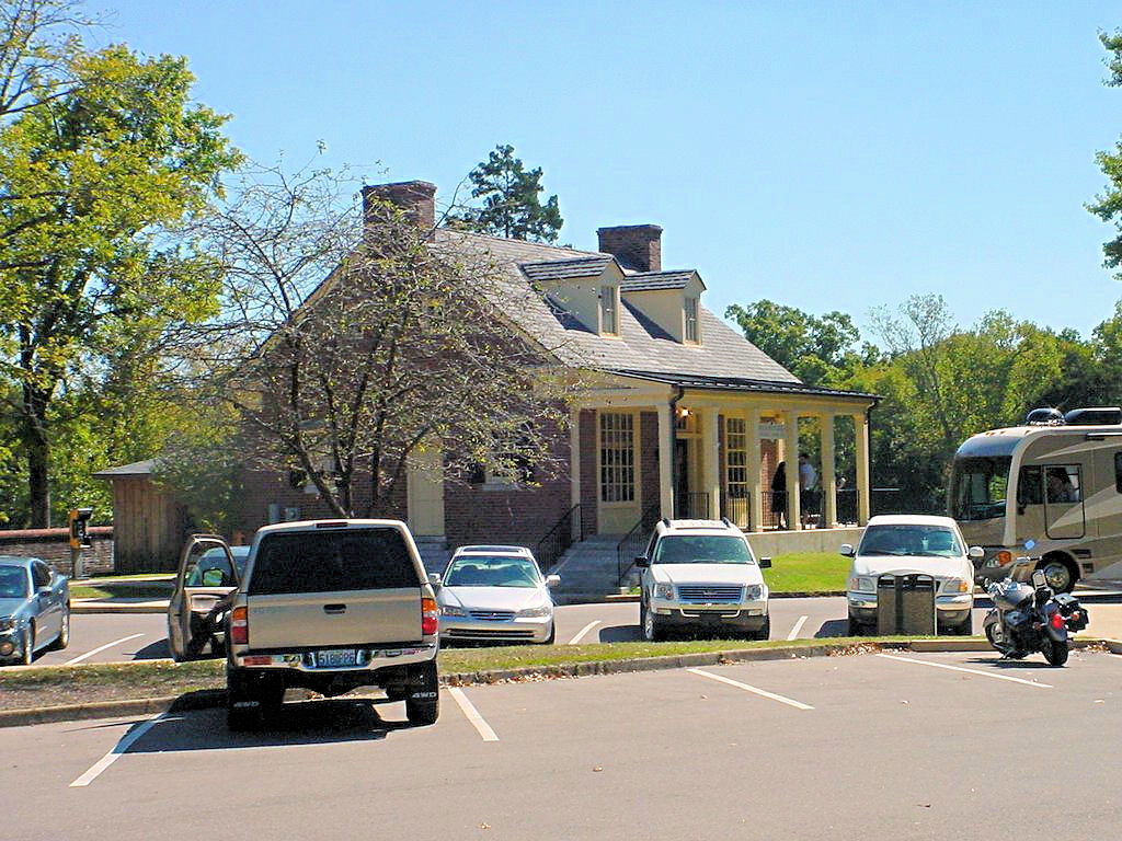
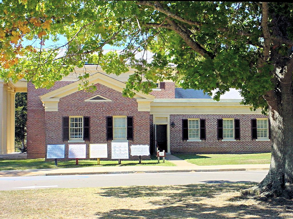
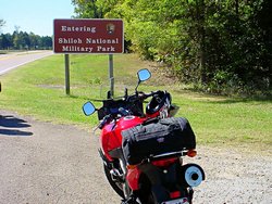
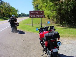
SHILOH NATIONAL MILITARY PARK -- October 8, 2006
GPS Coordinates: N35.15128 W88.32170
|
|
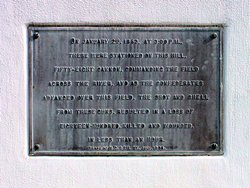
Shiloh National Military Park is the scene of a major battle during the Civil War during which 23,746 Union
and Confederate soldiers were reported dead or missing. From the National Park Service Web Site,
"No soldier who took part in the two days engagement at Shiloh ever spoiled for a fight again, recalled
one Union veteran. We wanted a square, stand-up fight [and] got all we wanted of it.
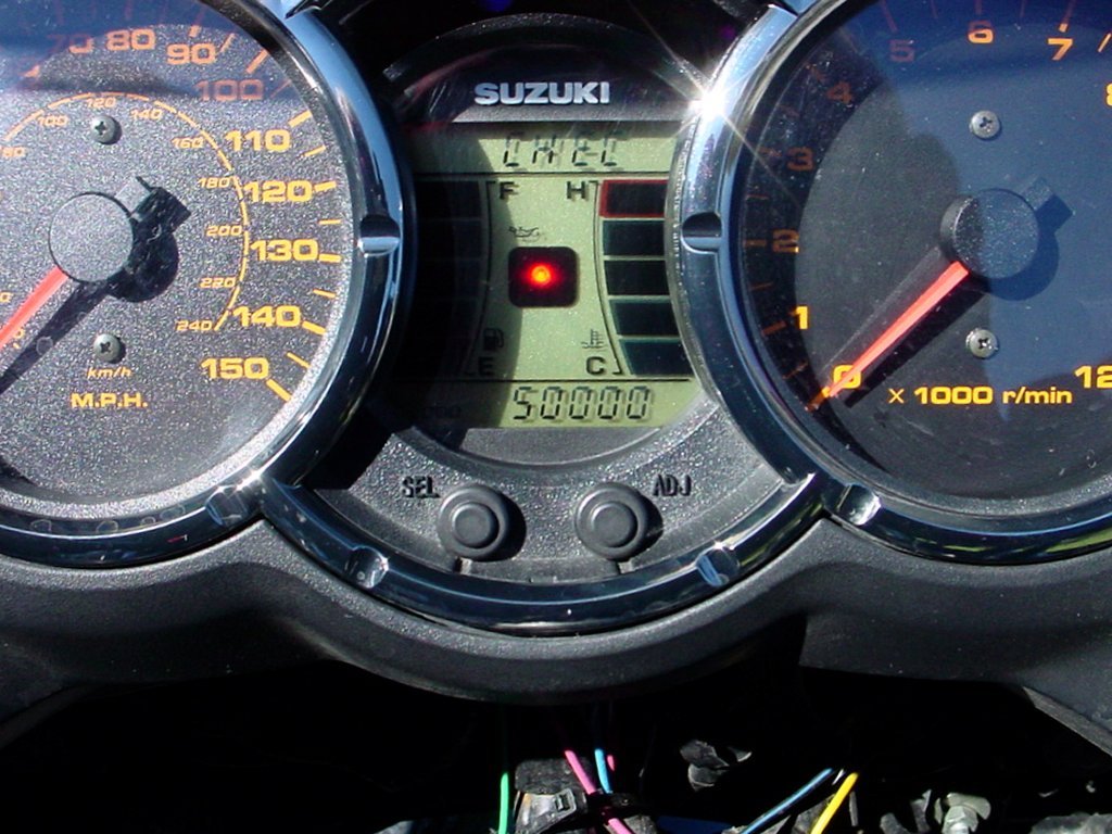
I rode to Shiloh on October 8, 2006 with my friend and riding buddy AGirl. It was a gorgeous early fall
day and we could not have asked for better weather. To make it an epic day, AGirl got the last National
Park Passport stamp that she needed to have all of them in Tennessee (not bad for a lady who lives in Arizona!) and
also turned over 50,000 (that's fifty thousand!) miles on her DL1000 since last November.
The National Park Service has a web site devoted to Shiloh National Military Park at
This Link
|
|
Outside the main park entrance
October 8, 2006 |
Shiloh National Military Park
Hardin County, TN - October 8, 2006 |
Shiloh National Military Park
Hardin County, TN - October 8, 2006 |
Shiloh National Military Park
Hardin County, TN - October 8, 2006 |
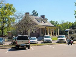
Shiloh Visitor's Center
October 8, 2006 |
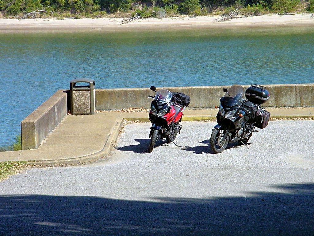
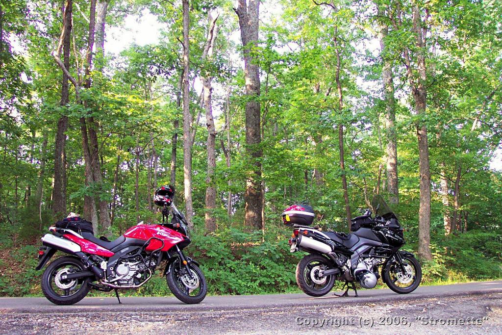
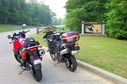
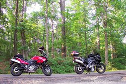
Pair-O-Stroms - Shiloh National Military Park
Hardin County, TN - October 8, 2006 |

AGirl Turns Over 50,000 miles
October 8, 2006 |
|
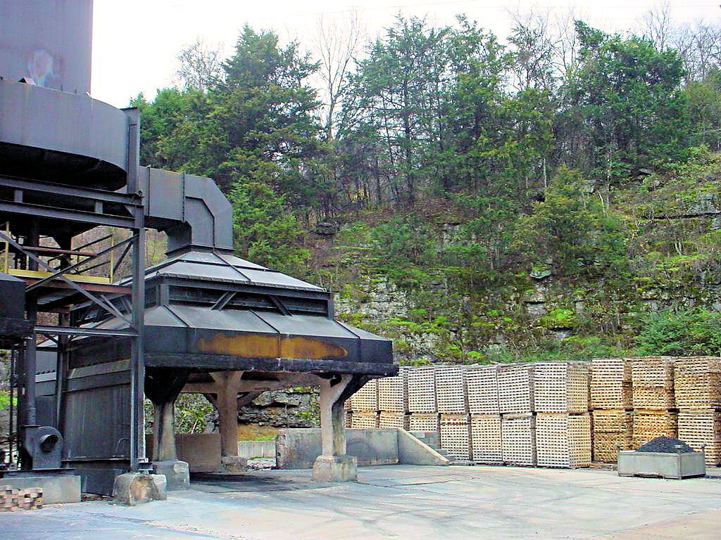
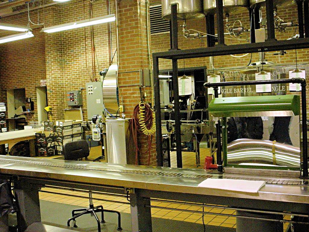
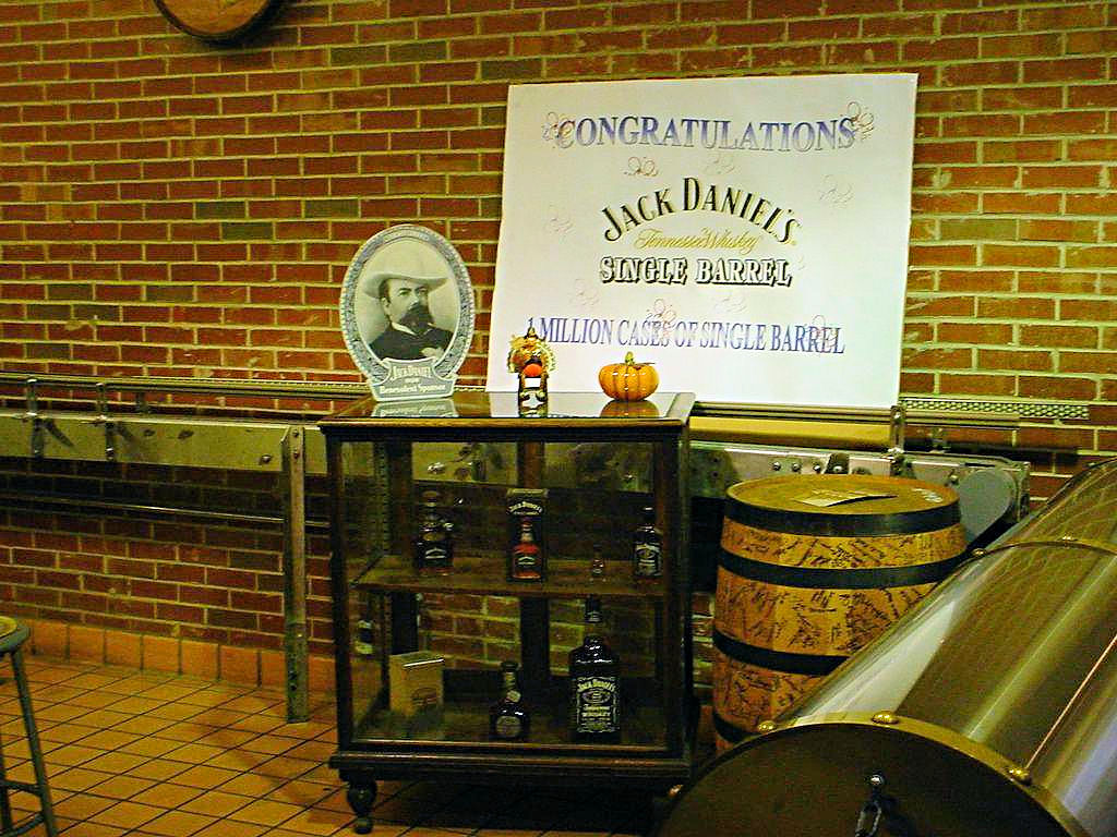
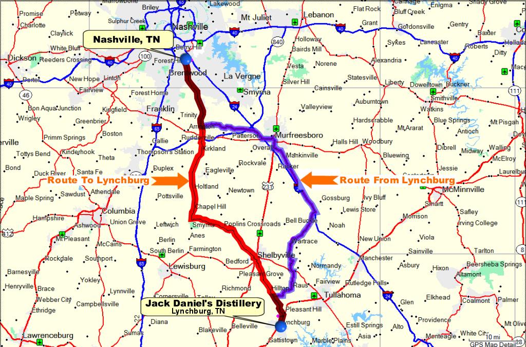
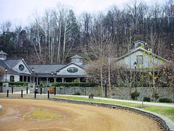
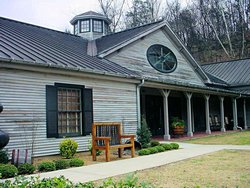
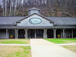
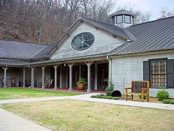
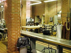
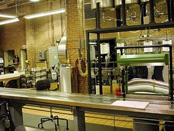
JACK DANIEL'S DISTILLERY -- November 19, 2006
GPS Coordinates: N35.28379 W86.37079
|
|
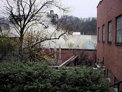
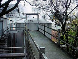
My Friend AGirl (aka Stromette!) and I took a trip to the Jack Daniel's
Distillery at Lynchburg, TN on November 19, 2006. It was a bit on the cool side (mid 40's) but well
worth the trip. The facility has tours every 15 minutes nearly every day of the year, and if you are in
the area I highly recommend it as a trip stop because it is very interesting.
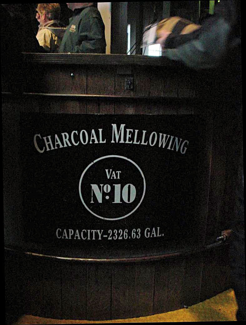
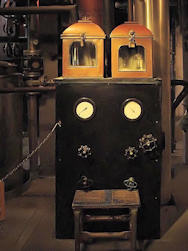
What amazed me most about the entire facility was the lack of modernization. The distillery dates back to 1866,
and was the first registered distillery in the United States (which, obviously, makes it the oldest registered distillery
in the United States!). Much of the process equipment is very old (I wouldn't hazard a guess as to how old!) and
the only concession to modern times I saw was some computer process controls in the distillery itself and some PVC pipe
in places. There is even very little stainless steel piping in the process itself, most of it is still copper. The
tanks are copper, the barrels are Eastern White Oak, and the whiskey is mellowed through Eastern White Oak charcoal much
as it has been done since the beginning.
The Jack Daniel's Web Site has a lot of interesting information about the
facility including a "Virtual Tour". The onsite tour lasts about an hour and 15 minutes, and is time well spent
if you are in the area.
Some of my photos are somewhat dark because flash photography is prohibited in most of the buildings. AGirl has
some additional photos on This Page of her web site.
|
|
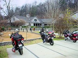
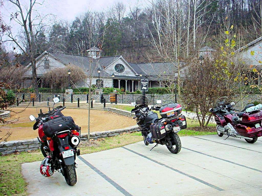
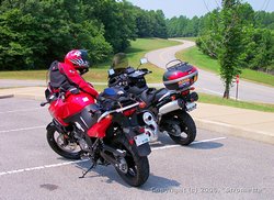
A Pair of V-Stroms at The Visitor's Center
(the Goldwing wasn't with us) |
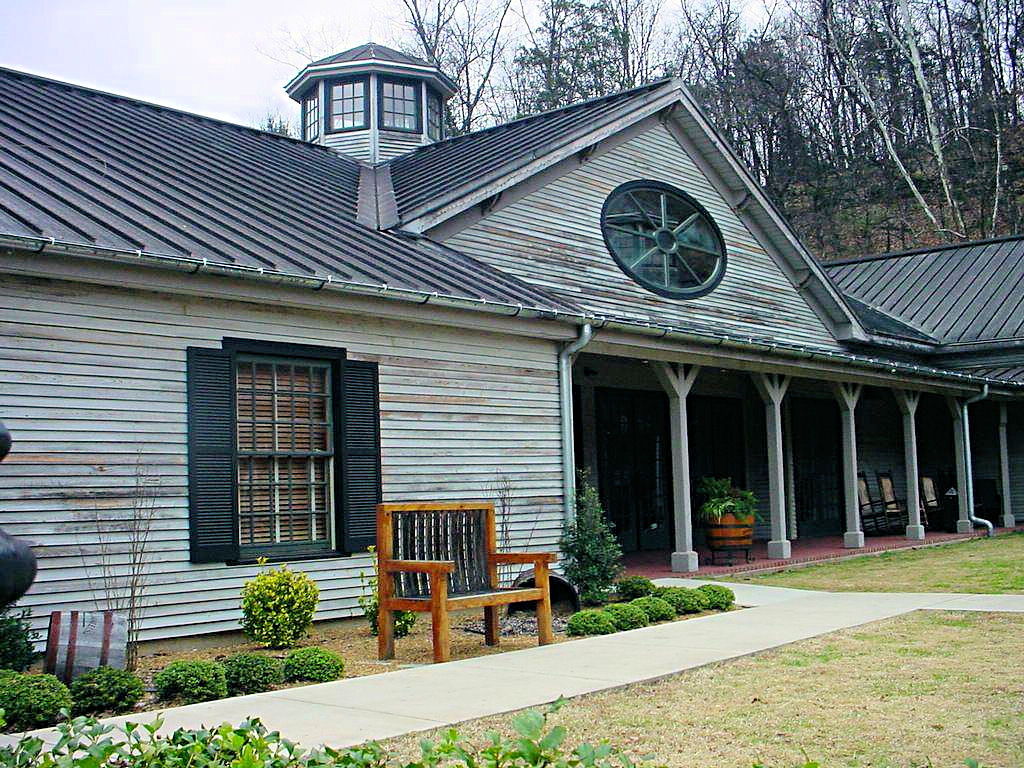
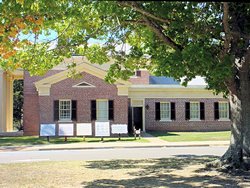
The Visitor's Center
November 19, 2006 |
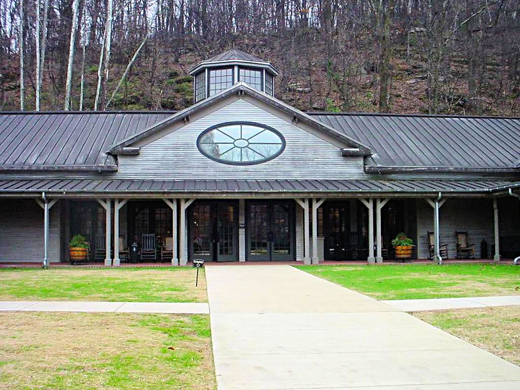
The Visitor's Center
November 19, 2006 |
The Visitor's Center
November 19, 2006 |
The Visitor's Center
November 19, 2006 |

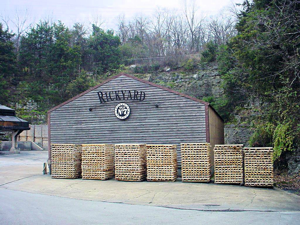
The Rickyard
November 19, 2006 |

The Rickyard
November 19, 2006 |

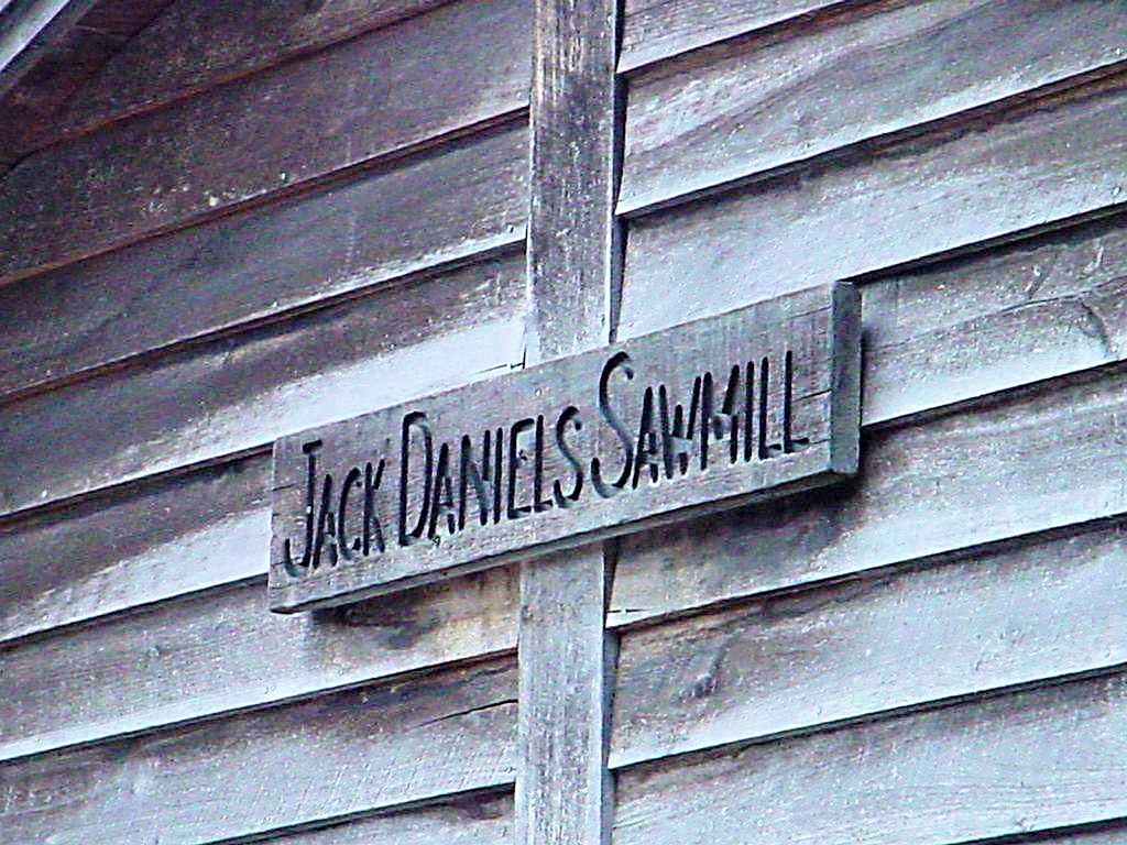
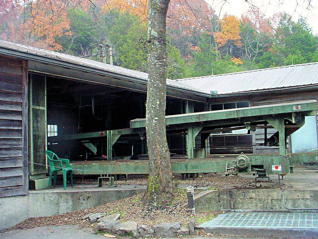
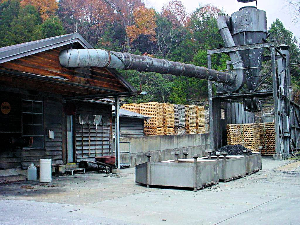
The Sawmill
November 19, 2006 |
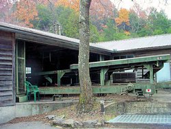
The Sawmill
November 19, 2006 |

The Sawmill
November 19, 2006 |
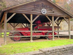
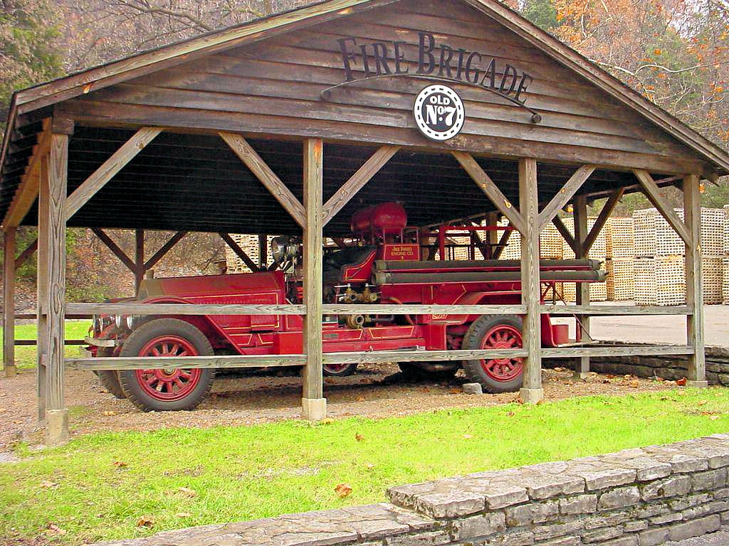
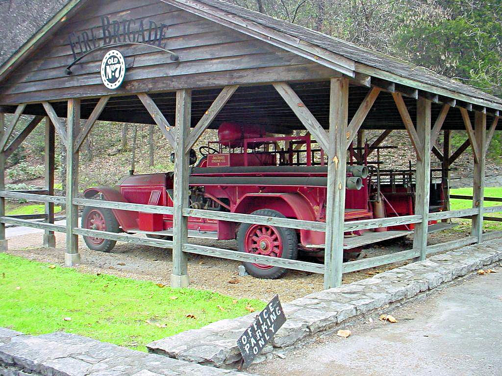
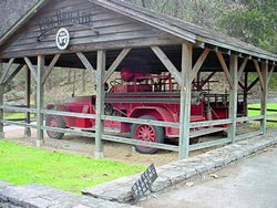
The Fire Brigade
November 19, 2006 |
The Fire Brigade
November 19, 2006 |
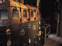
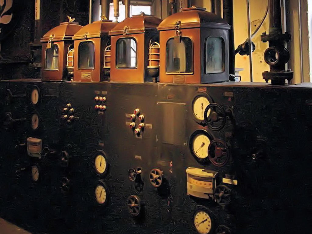
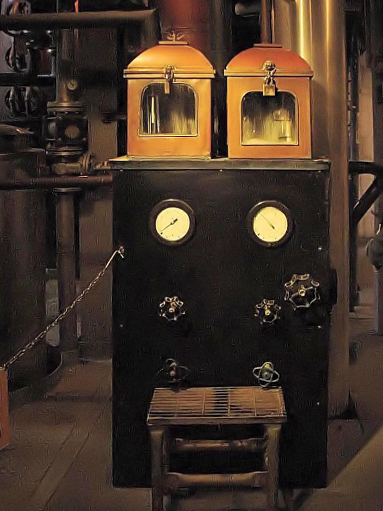
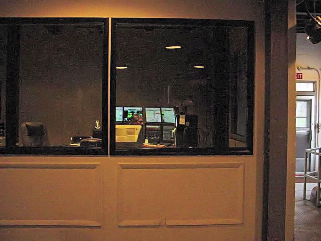
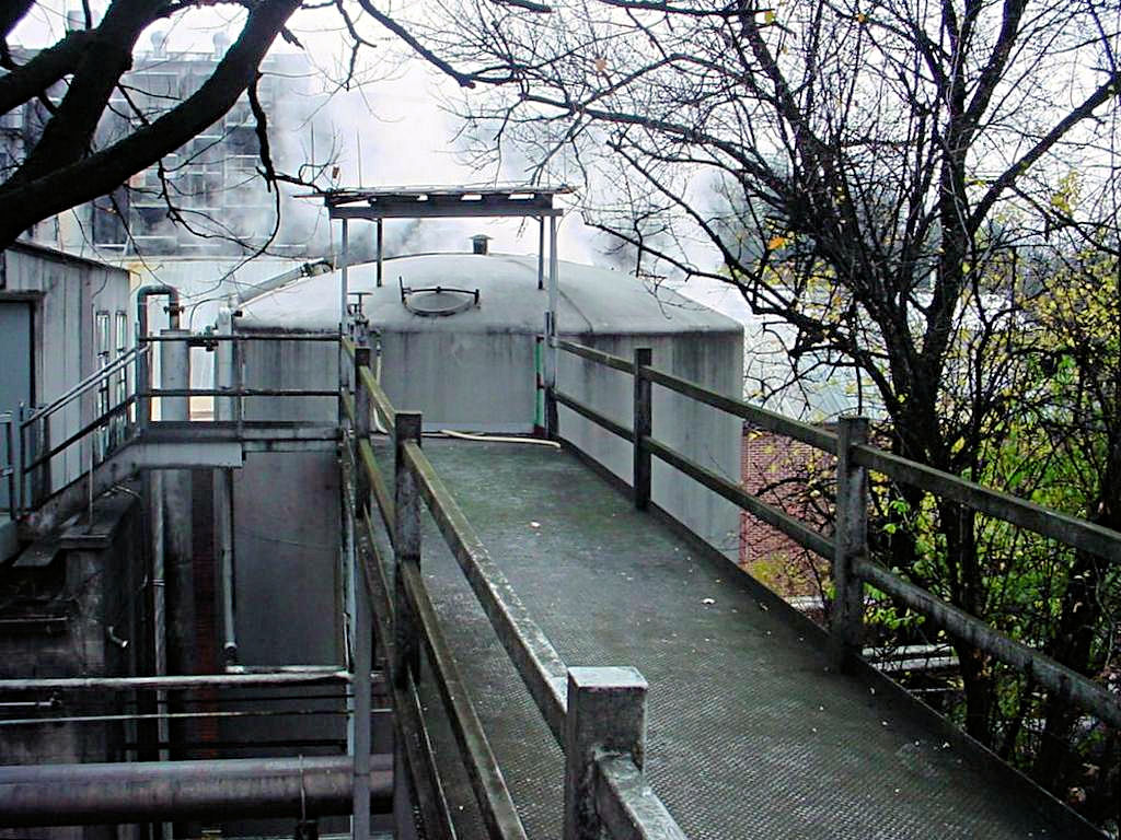
The Still Area
November 19, 2006 |

The Still Area
November 19, 2006 |
The Still Area
November 19, 2006 |

The Still Area
November 19, 2006 |

Mellowing Area
November 19, 2006 |

Mellowing Area
November 19, 2006 |

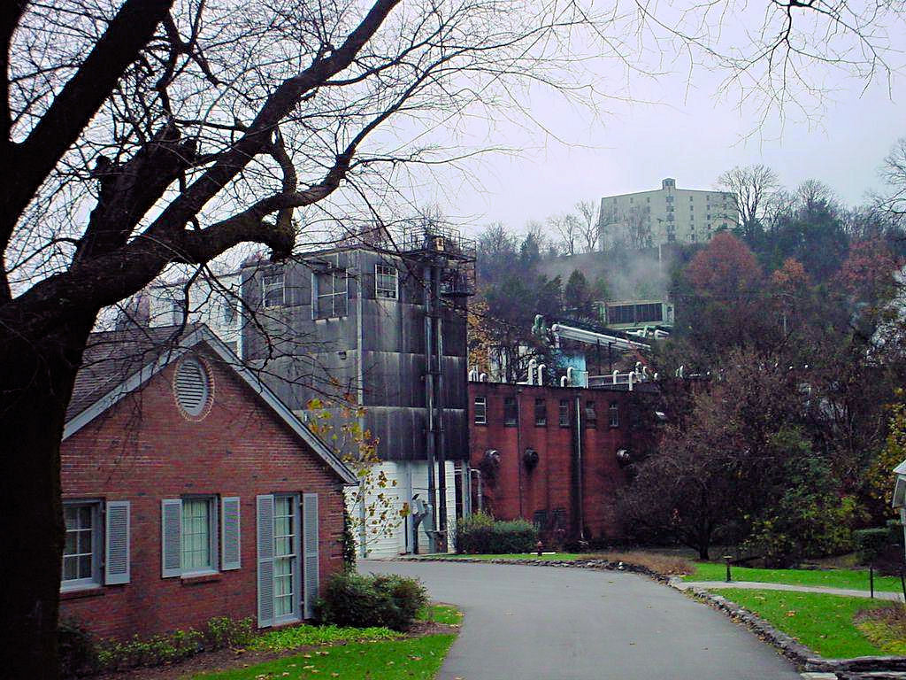
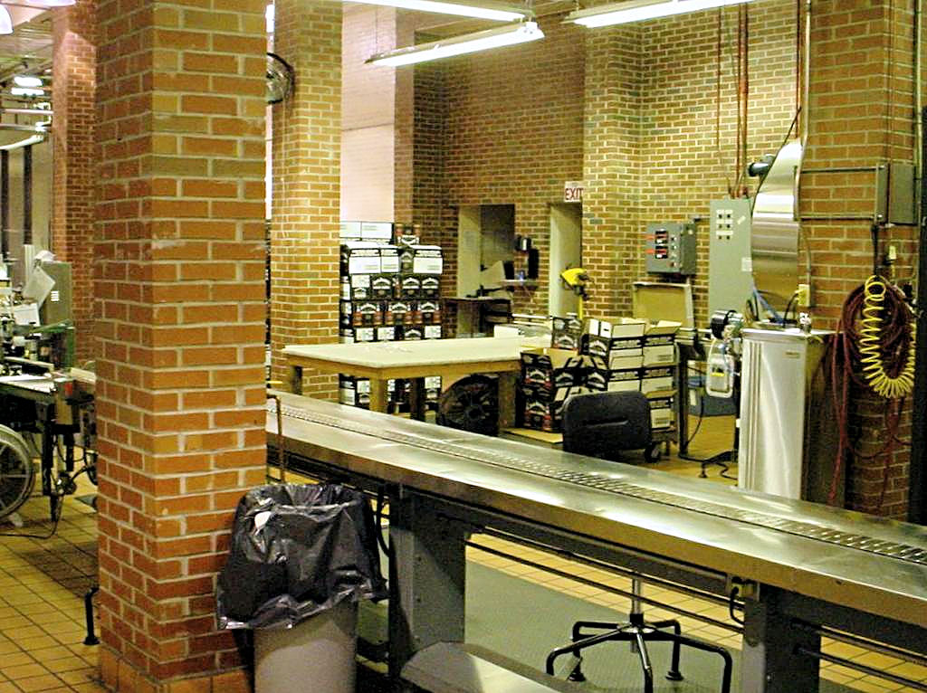
Just Some Process Buildings
November 19, 2006 |
Just Some Process Buildings
November 19, 2006 |
Just Some Process Buildings
November 19, 2006 |

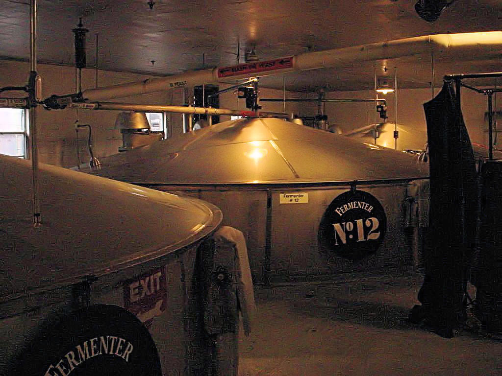
The Fermenting Area
November 19, 2006 |

The Spring Water Source
November 19, 2006 |
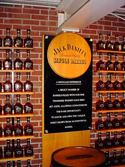
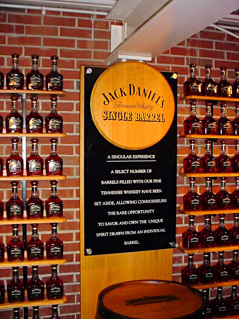
The Single Barrel Bottling Area
November 19, 2006 |
The Single Barrel Bottling Area
November 19, 2006 |
The Single Barrel Bottling Area
November 19, 2006 |
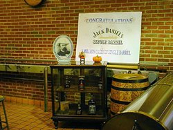
The Single Barrel Bottling Area
November 19, 2006 |
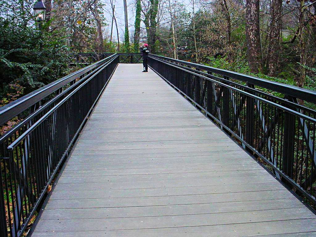
Just A Cool Bridge
November 19, 2006 |

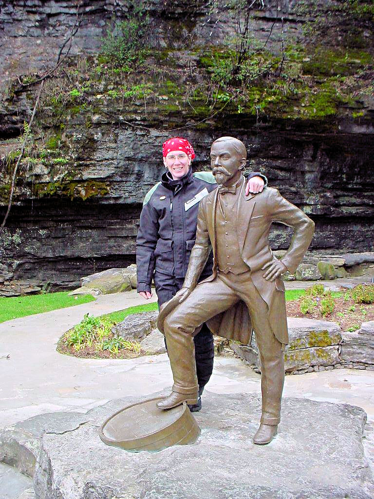
AGirl and a bronze statue of "Mr. Jack" Mr. Jack is the one on the right ;) Jack Daniel was 5'-2" tall
and wore size 4 shoes. I don't think they got the height right because she is taller than 5'-2"!
Next to this statue is a large tree with most of the lower limbs sawn off. According to our tour guide the limbs
were removed because they kept knocking Mr. Jack over. The shoes of the statue are actually size 4 so he doesn't
have a lot of support ;)
|

Our Route To and From
Jack Daniel's Distillery |
|
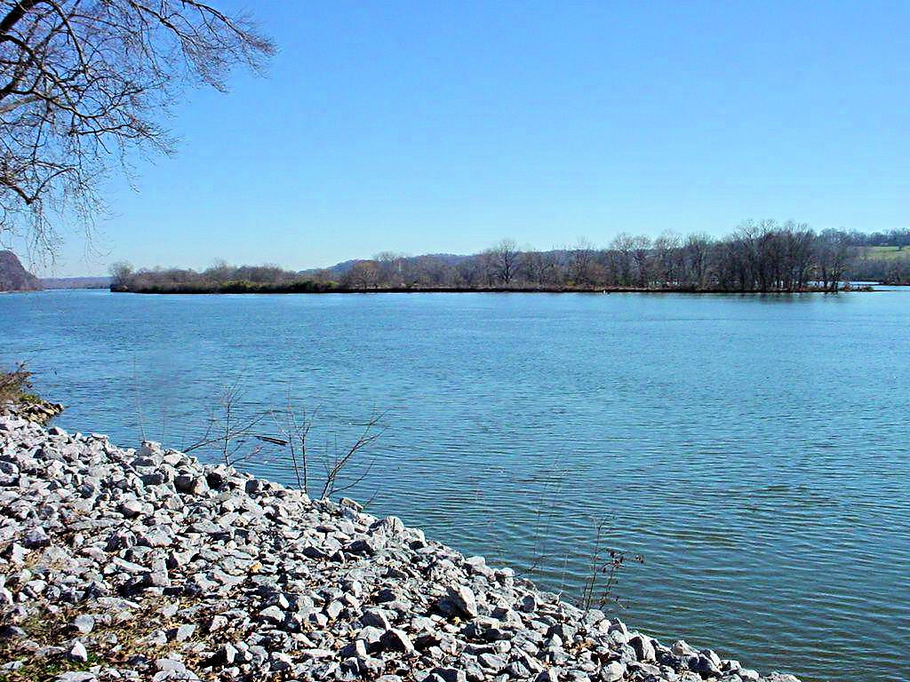
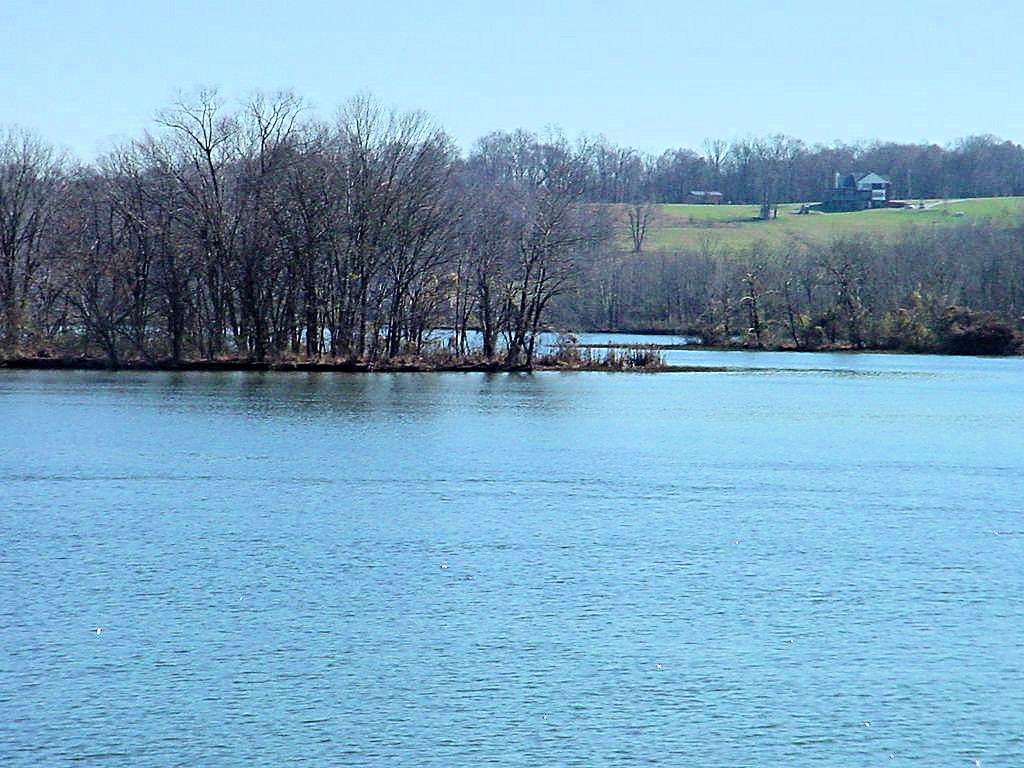
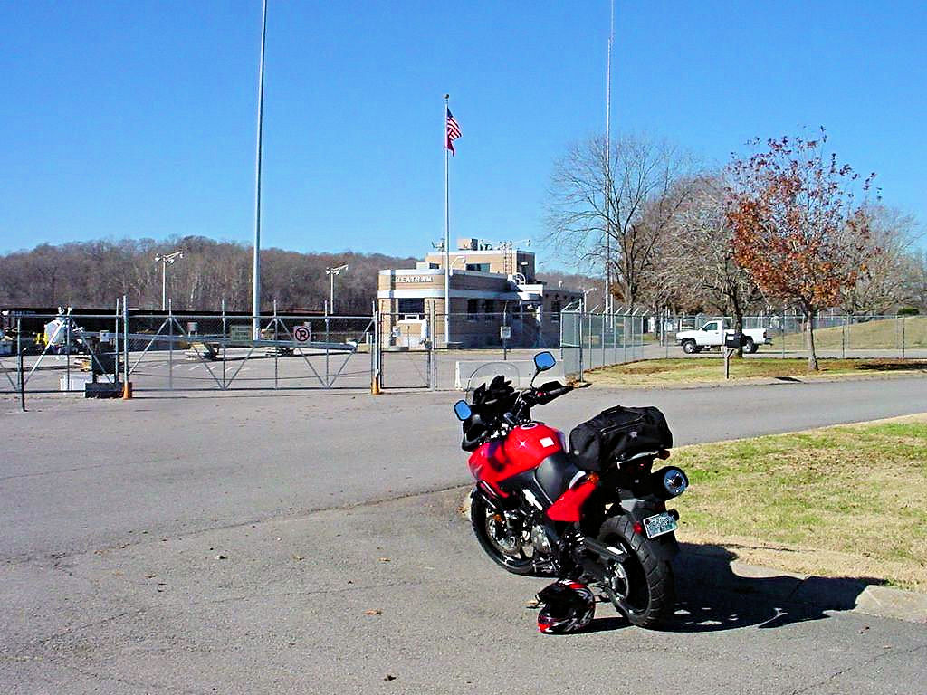
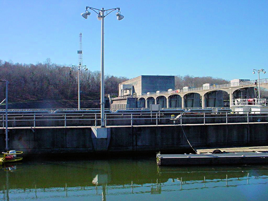
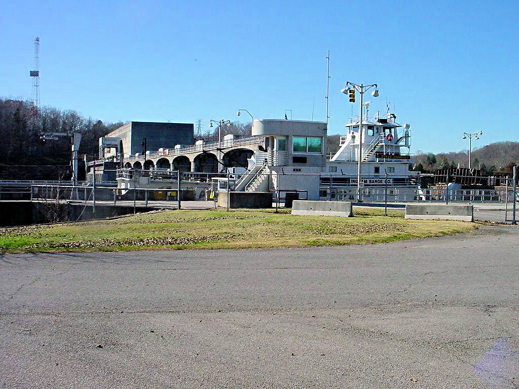
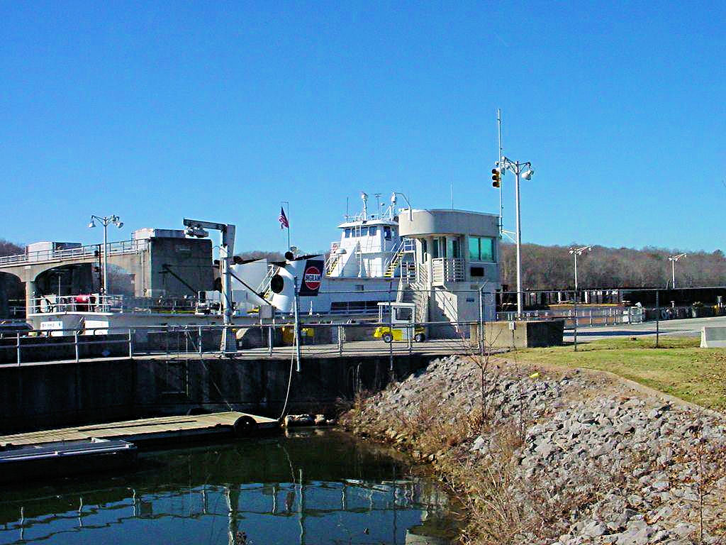
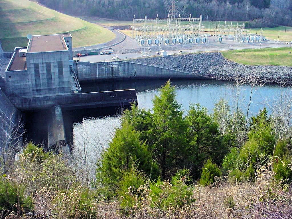
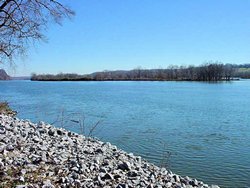
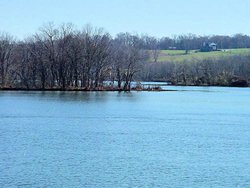
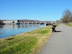
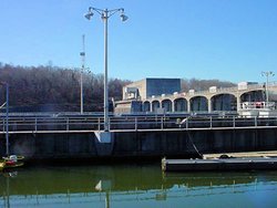
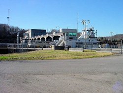
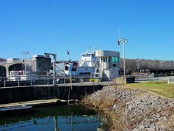
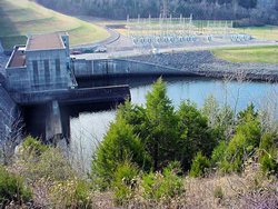
CHEATHAM LOCK AND DAM -- November 24, 2006
GPS Coordinates: N36.31741 W87.21698 +/-
|
|
I've been to the Cheatham Dam Recreation Area many times, we used to have family reunions there
every year. While trying to think of somewhere I could ride I realized I had never seen the
dam itself, so off I went. As dams go it isn't a very imposing site since it only raises the
river level about 5 feet, but it is interesting to see.
The US Army Corps of Engineers oversees the dam and lake, as they do most navigable waterways in
the country, and their web site for Cheatham Lake is at
This Link
All of the photos are taken from the upstream side since access to the other side of the dam was
gated off so that I could not get over there.
|
|
 |
 |
 |
 |
 |
 |
 |
|
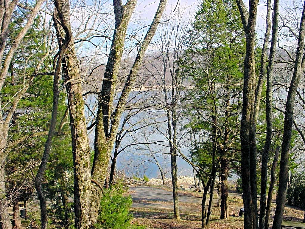
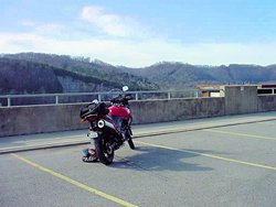
CENTER HILL DAM -- December 10, 2006
GPS Coordinates: N36.09658 W85.82737 +/-
|
|
Not a lot to see, but at least I got out and rode a while. And, before you ask, yes it was
a little on the cool side. It warmed up to the mid 50's though so it wasn't too bad (except
for the crosswind that was blowing me all over I-40 coming home!).
|
|
 |
 |
 |
 |
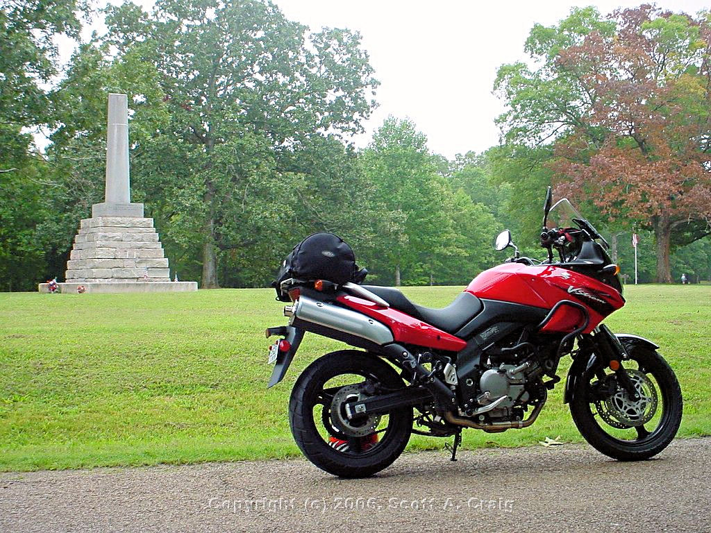
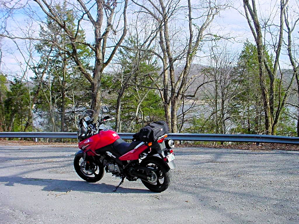
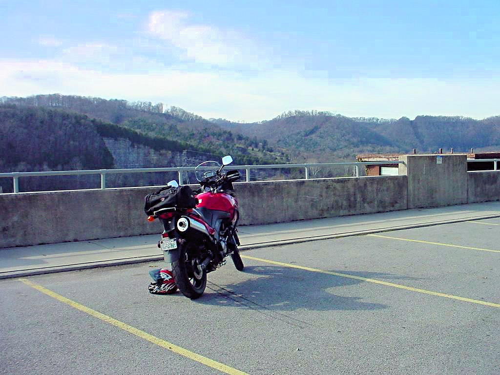
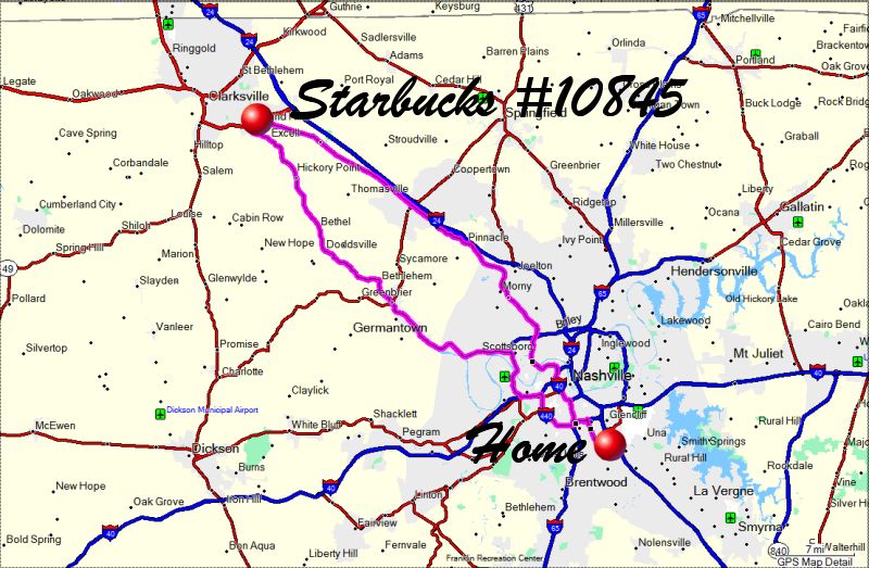
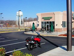
130 MILE CUP OF COFFEE -- December 22, 2006
GPS Coordinates: N36.50925 W87.27569 +/-
|
|
OK, so it's not a 4,000 Mile Thanksgiving
or a 700 Mile Seafood Lunch but it's
not that warm around here either! My boss gave all of his staff some gift cards for Christmas, and one
of them was a gift card to Starbucks Coffee. Having never even set foot inside a Starbucks I decided
it was time to do so, and since it was relatively warm here today (41 when I left home and mid 50's when I
got back) I decided it was only natural to pick a Starbucks that was about 50 miles away. So I loaded
up and headed for Clarksville, TN to grab a cup of coffee. Since Clarksville is my original home I
admit to riding through town for a bit, but what the heck, it's been 20+ years since I've seen some of
it.
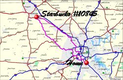
If you look at the third photo showing my route you'll see that I did manage to avoid the interstate
completely. I took Old Highway 41-A to Clarksville and came back via Highway 12 through Ashland
City. After all, I did learn how to turn a short trip into a long one from the best ;)
|
|
 |
 |
 |
|
|
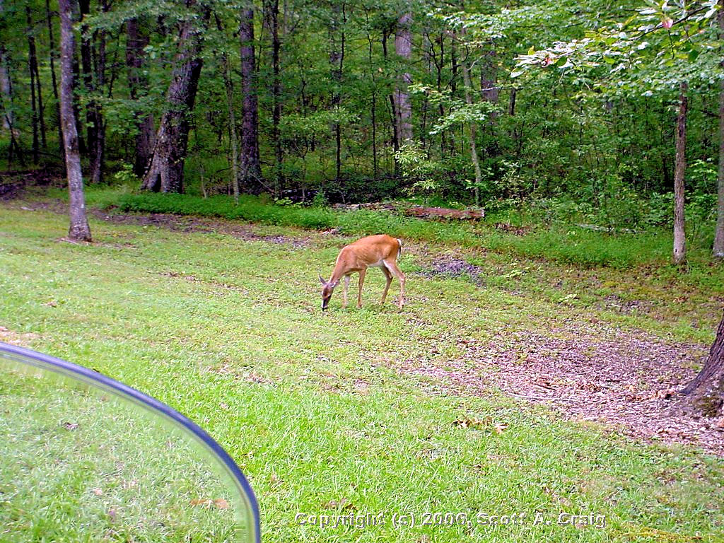
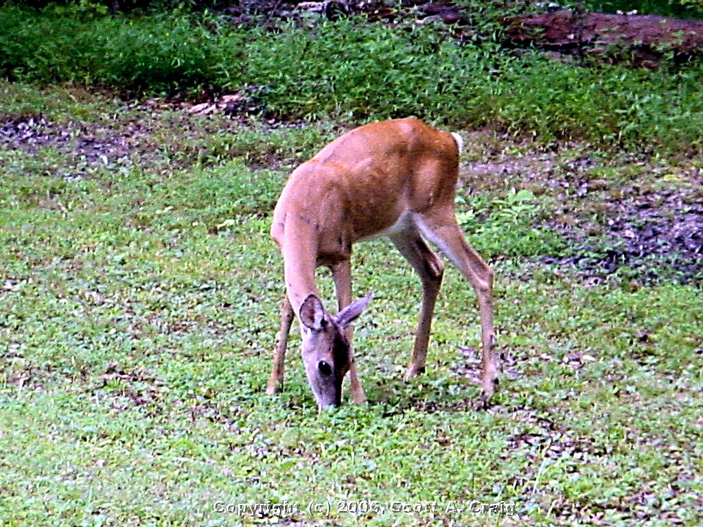
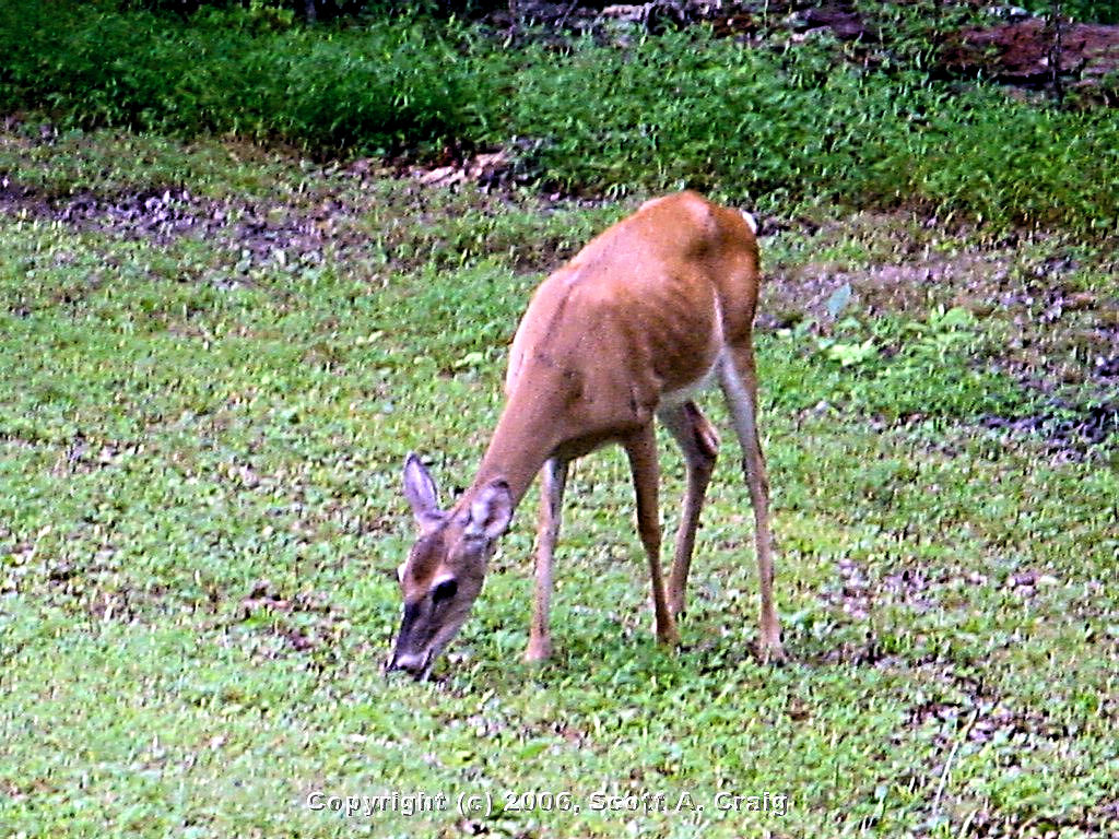
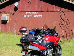
MISCELLANEOUS PLACES AND PHOTOS |
|
This is just a collection of photos that I have taken at other places I have ridden my motorcycle. Some of them
have significance only to me, some are just nice photographs.
|
|
Radnor Lake
Nashville, TN - May 14, 2006 |
Radnor Lake
Nashville, TN - May 28, 2006 |
Edwin Warner Park
Nashville, TN - July 3, 2006 |
Edwin Warner Park
Nashville, TN - July 3, 2006 |
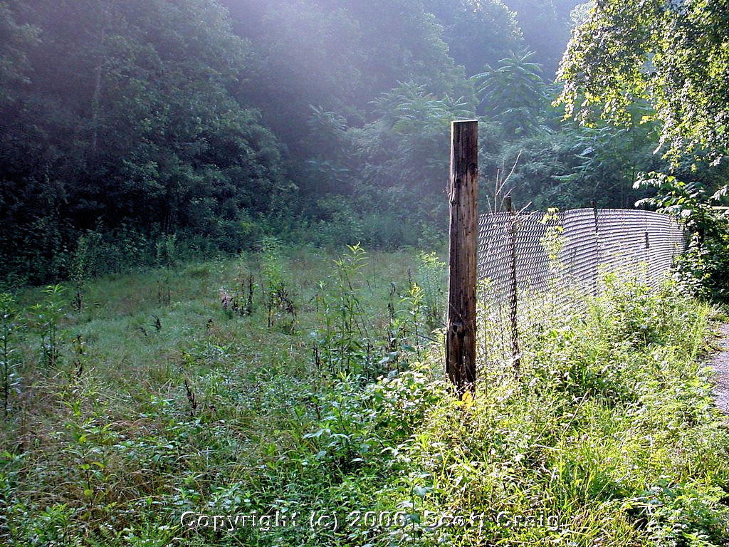
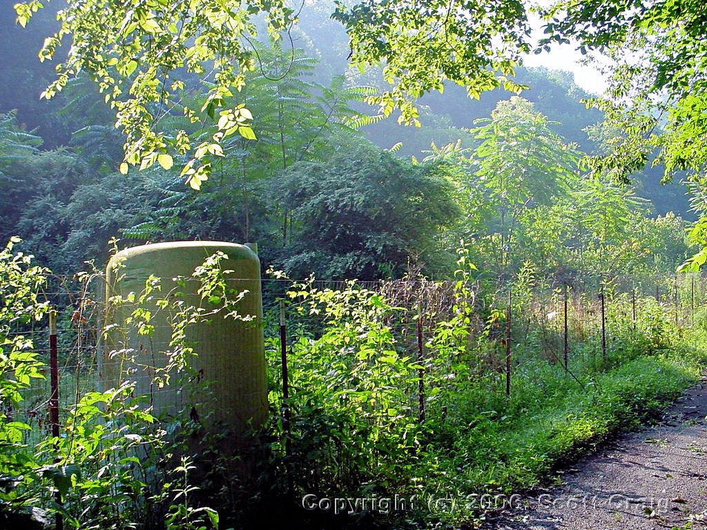
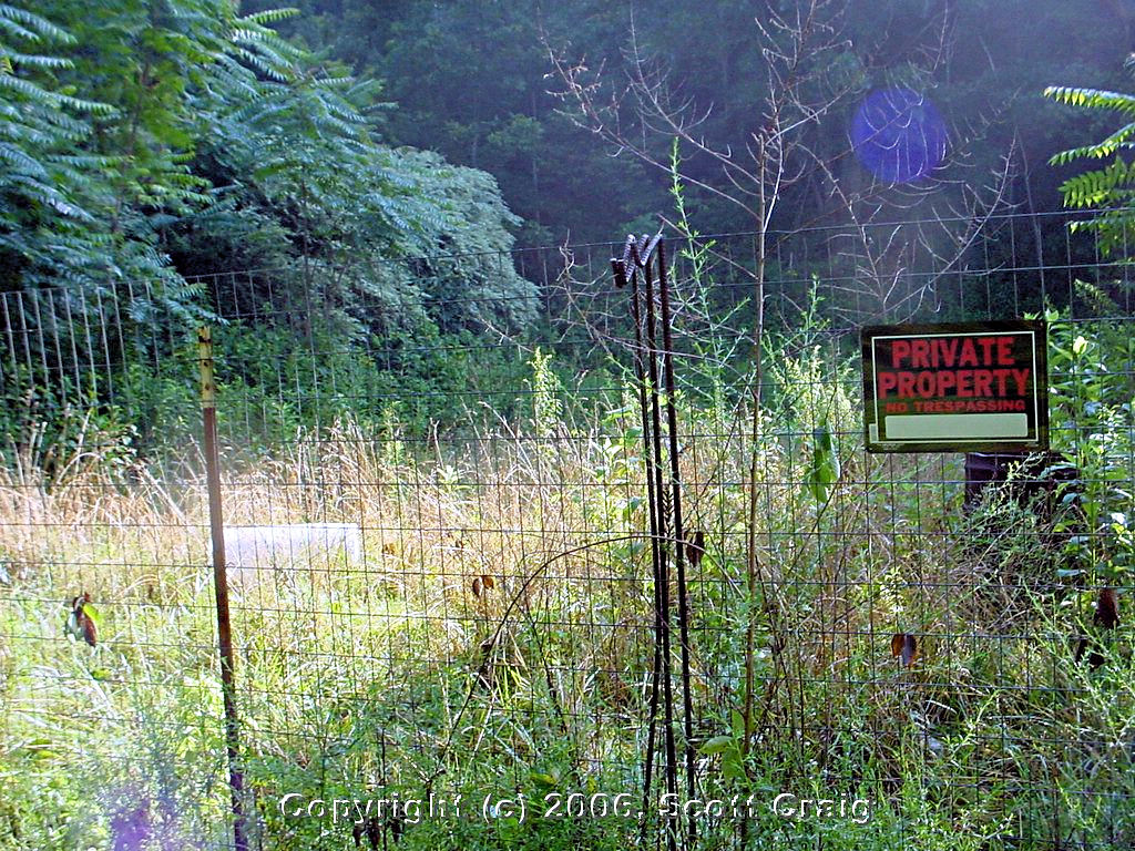
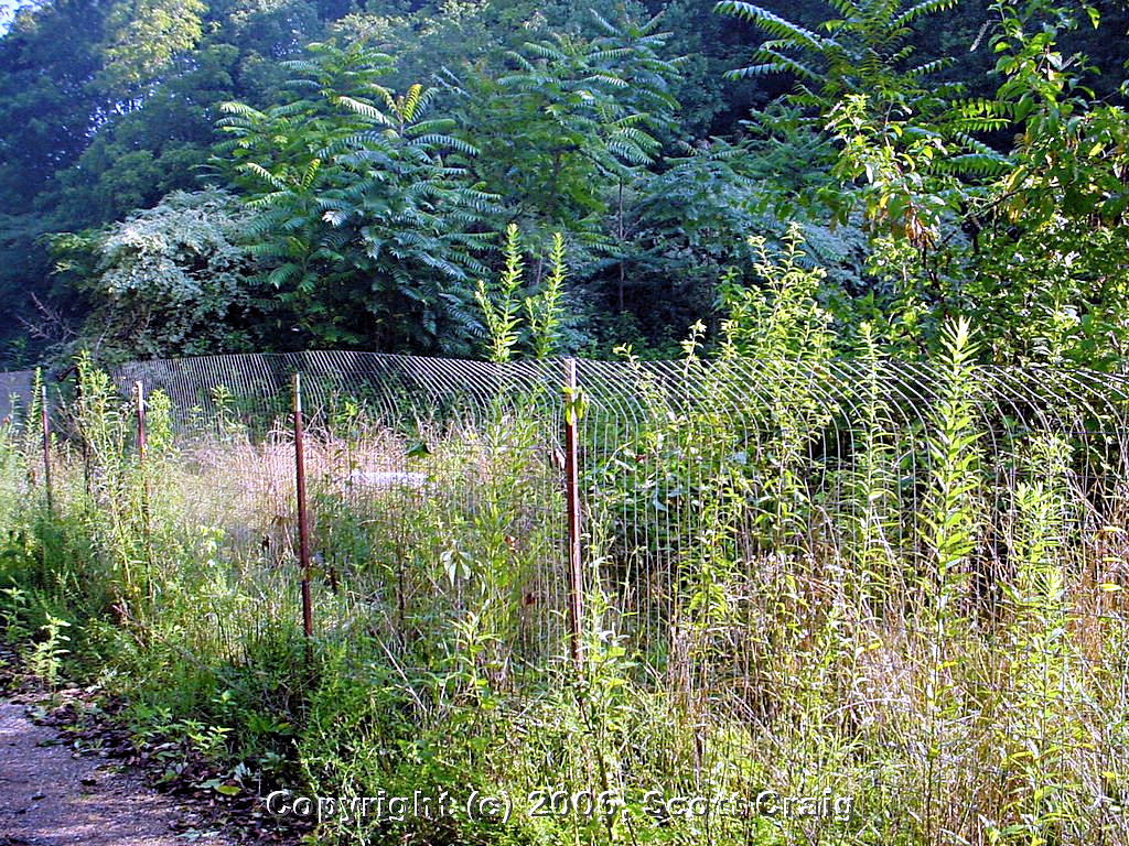
Former TDPC pistol range (Parking Lot)
Smithville, TN - July 23, 2006 |
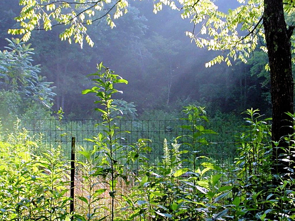
Former TDPC pistol range (Bay 1)
Smithville, TN - July 23, 2006 |

Former TDPC pistol range (Bay 2)
Smithville, TN - July 23, 2006 |

Former TDPC pistol range (Bay 2 & 3)
Smithville, TN - July 23, 2006 |
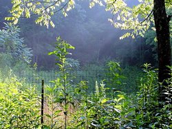
Former TDPC pistol range (Bay 3)
Smithville, TN - July 23, 2006 |
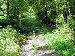
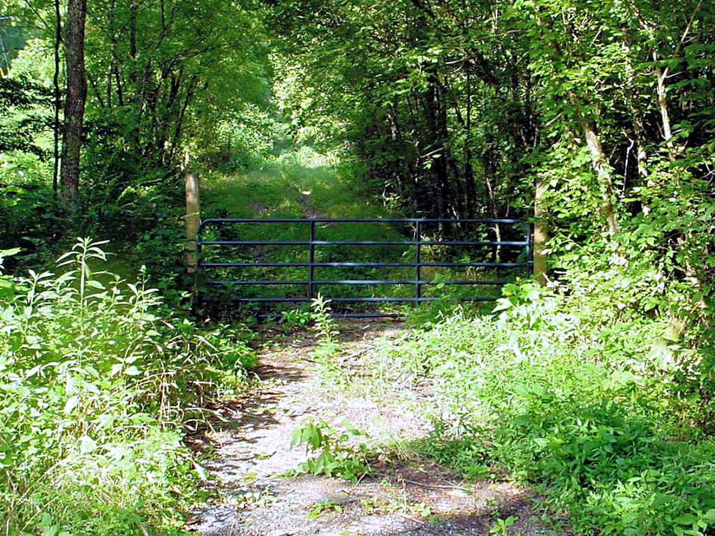
Former TDPC pistol range (Gated "County" Road)
Smithville, TN - July 23, 2006 |
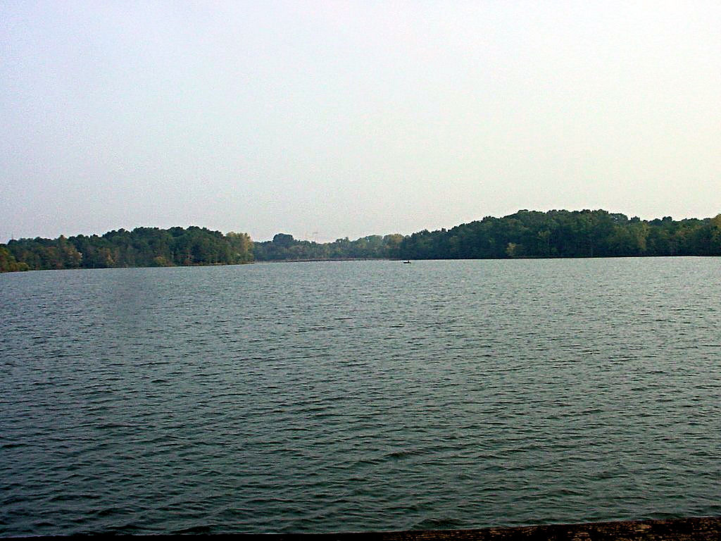
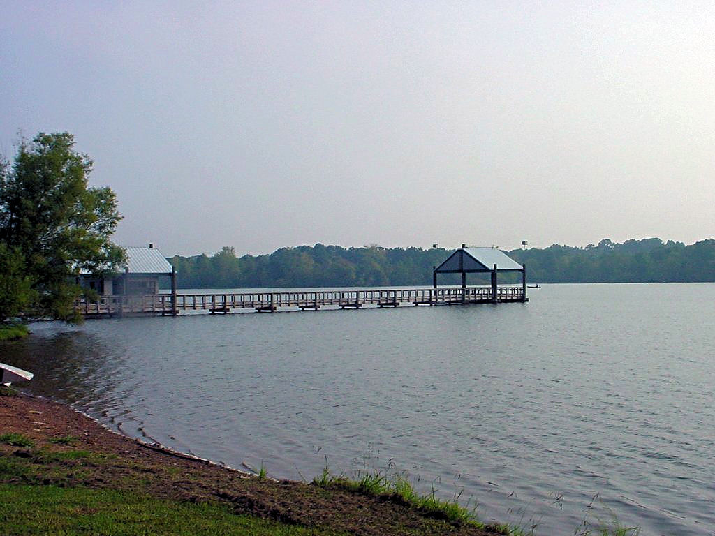
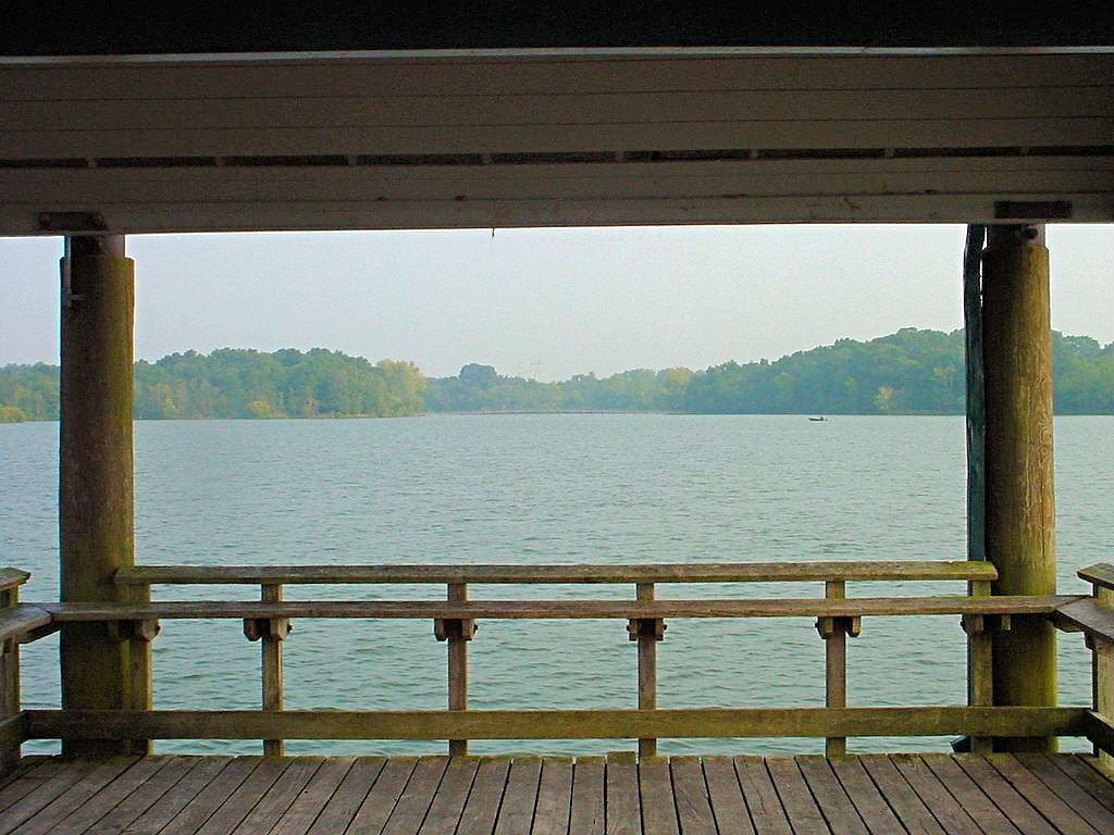
Couchville Lake at Long Hunter State Park
Nashville, TN - August 26, 2006 |
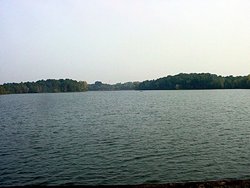
Couchville Lake at Long Hunter State Park
Nashville, TN - August 26, 2006 |
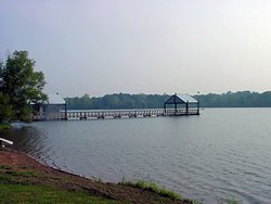
Couchville Lake at Long Hunter State Park
Nashville, TN - August 26, 2006 |
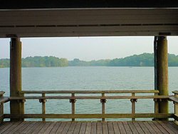
Couchville Lake at Long Hunter State Park
Nashville, TN - August 26, 2006 |

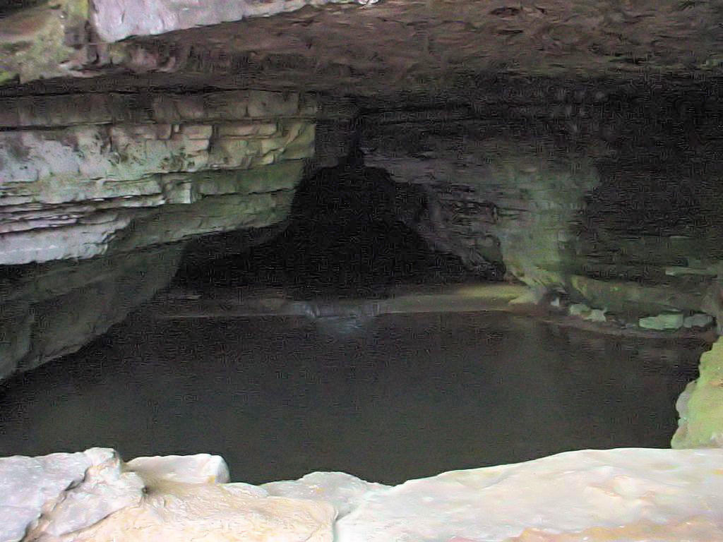
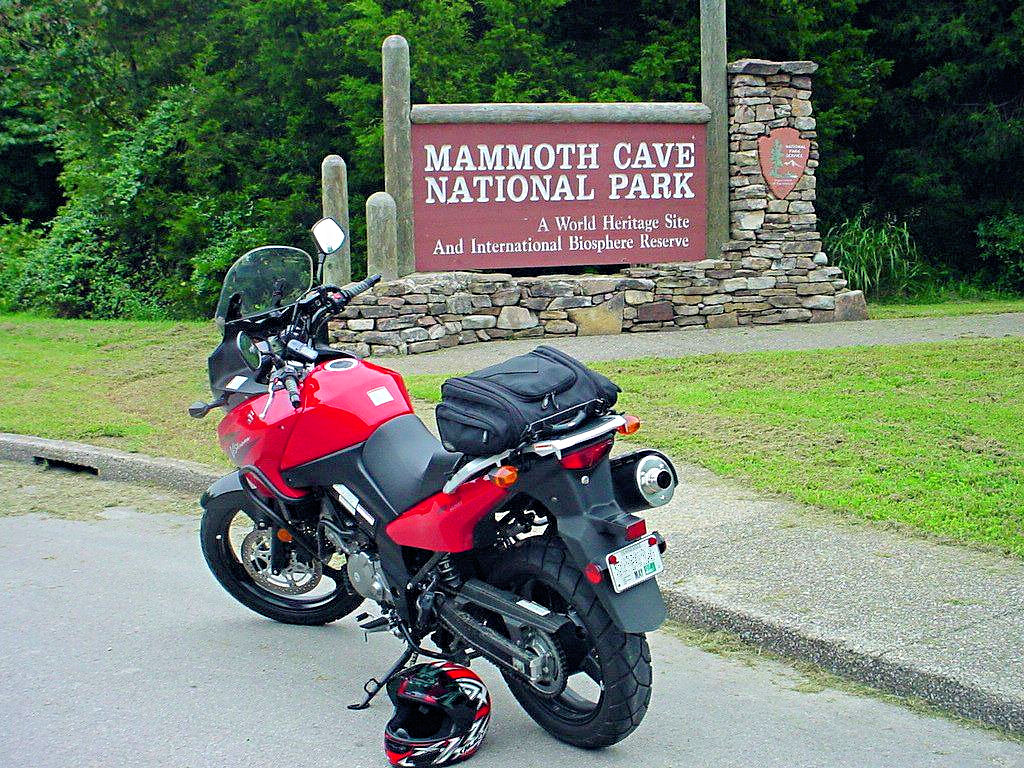
Mammoth Cave National Park
Mammoth Cave, KY - September 2, 2006 |
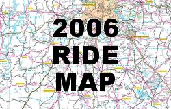
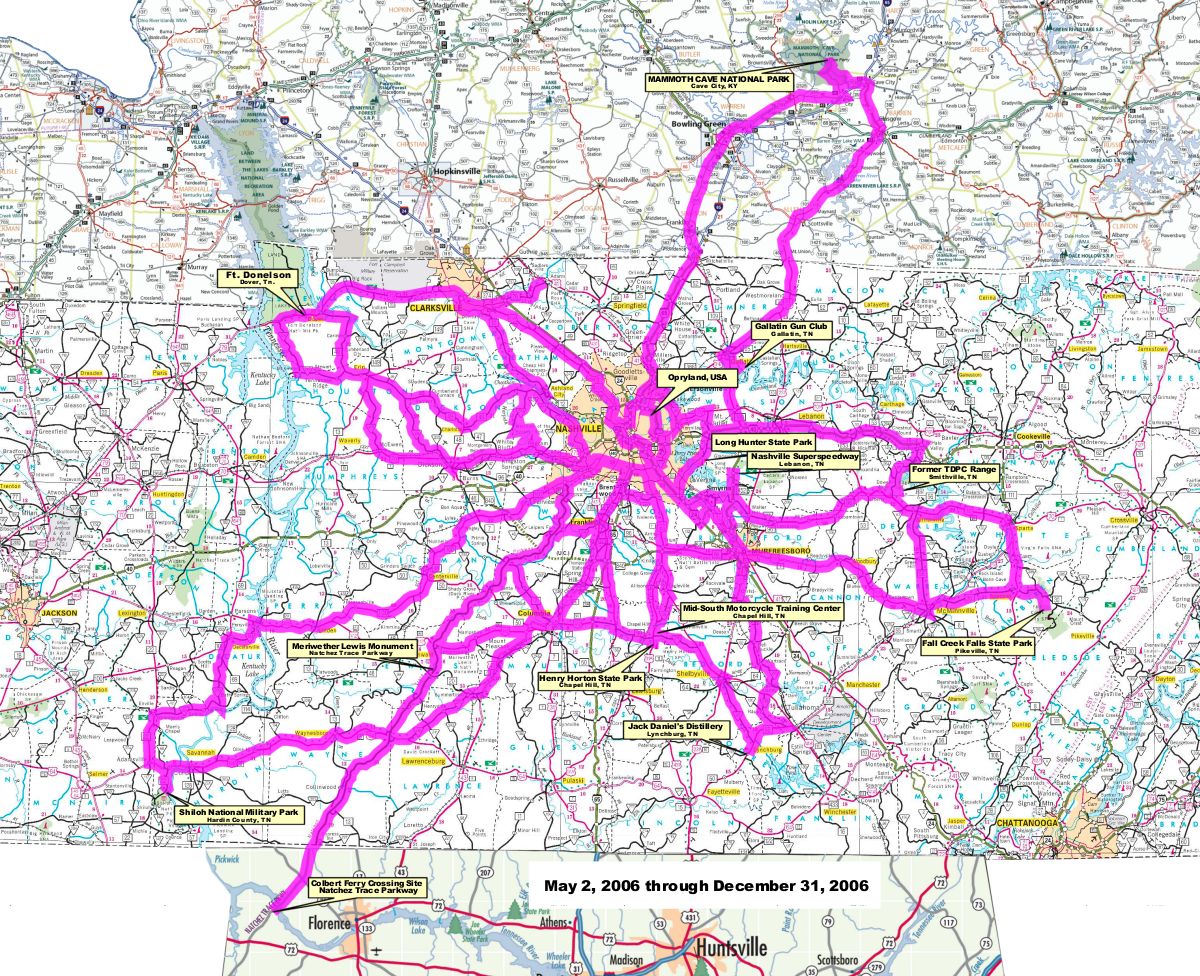
A Map of my travels through December 31, 2006 |