| SIX STATES, FOUR DAYS - 09/13/2008 - 09/16/2008 |
|
I had to get out of town for a few days. I wanted to go a number of different directions and couldn't decide which
way I wanted to head. Hurricanes Gustav and Ike made the decision for me. Gustav came through a couple of
weeks ago and did some damage in Louisiana and Florida and that was one of my proposed directions. Hurricane Ike
came through the day I left. Even though it went primarily through Texas, which wasn't on my list, the projected
track was questionable. It could have come through the corner of Florida and Louisiana but it didn't. It was
projected to curve back through the corner of Tennessee and into Ohio. It may have, I wasn't there so I don't
know! I had initially decided to head for Pensacola, FL but was concerned about the hurricane so the morning I left
I decided to head southeast.
This trip had two primary goals: Collect National Park Passport Stamps for my
Passport Stamp collection and see the ocean again. I haven't
seen the ocean in over 20 years and I miss it. While I care nothing about swimming in it I could watch the waves and
listen to the sounds all day long. I decided that I wanted to relive that experience and I wanted to do it on a
bike. This trip was it and below is my journal.
|
||||
| Saturday September 13, 2008 - Nashville, TN to Tifton, GA - 605 miles | ||||
|
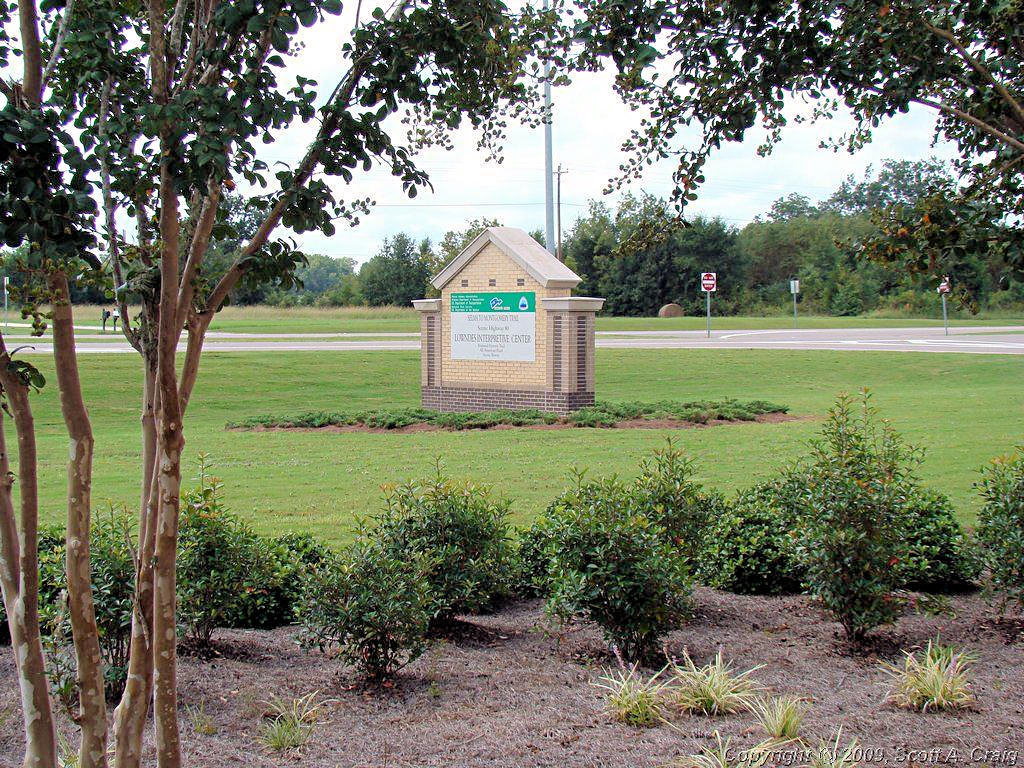
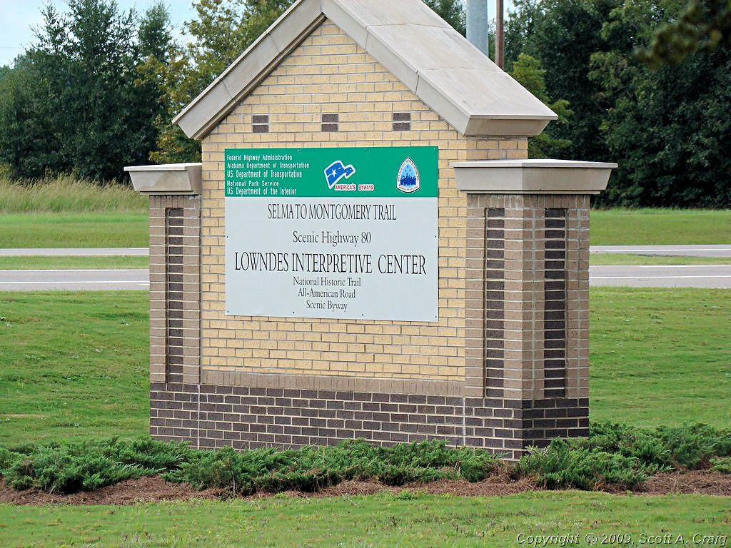
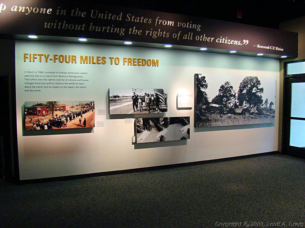
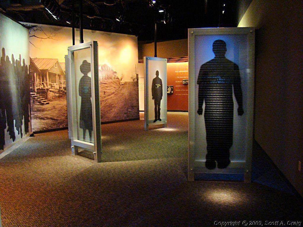
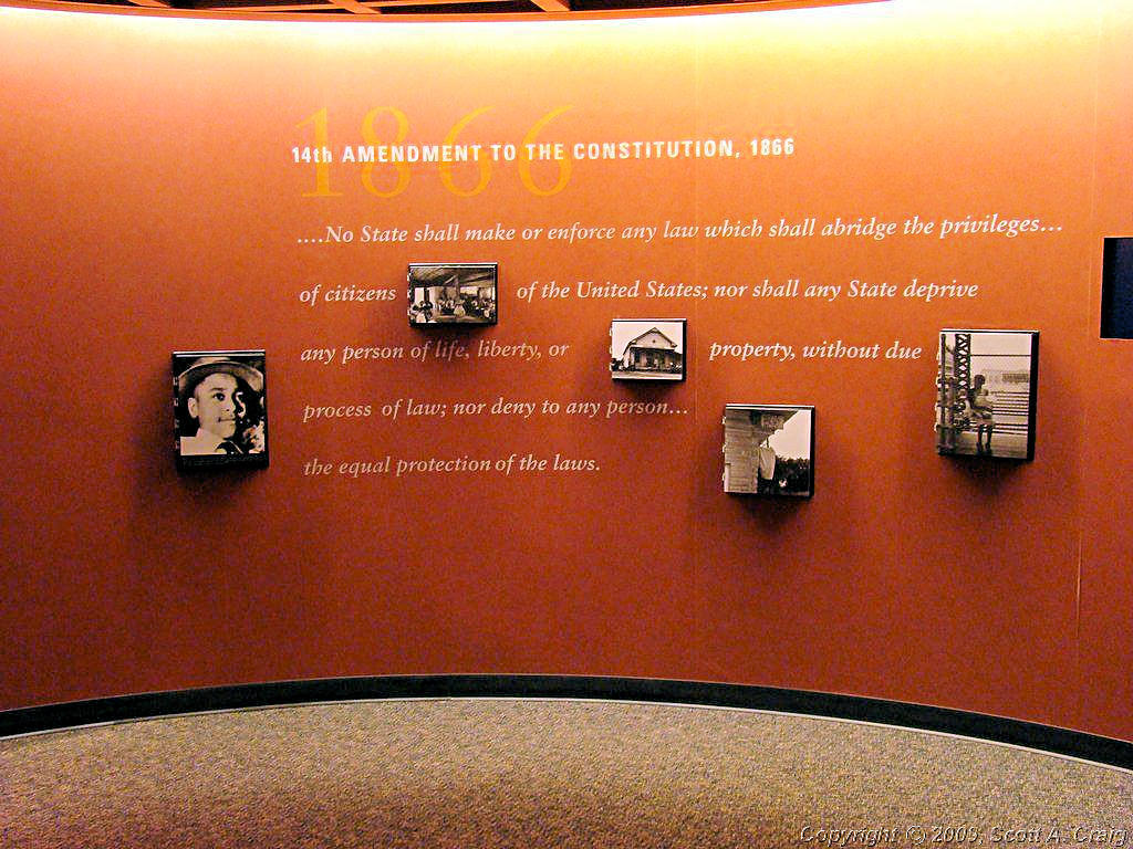
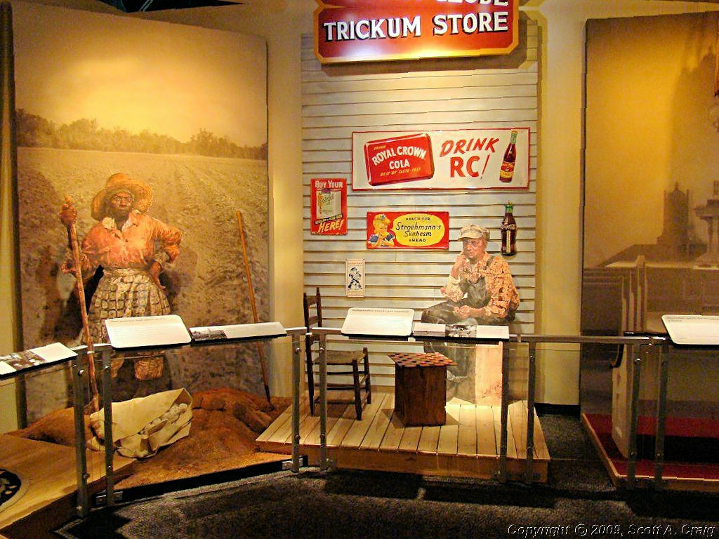
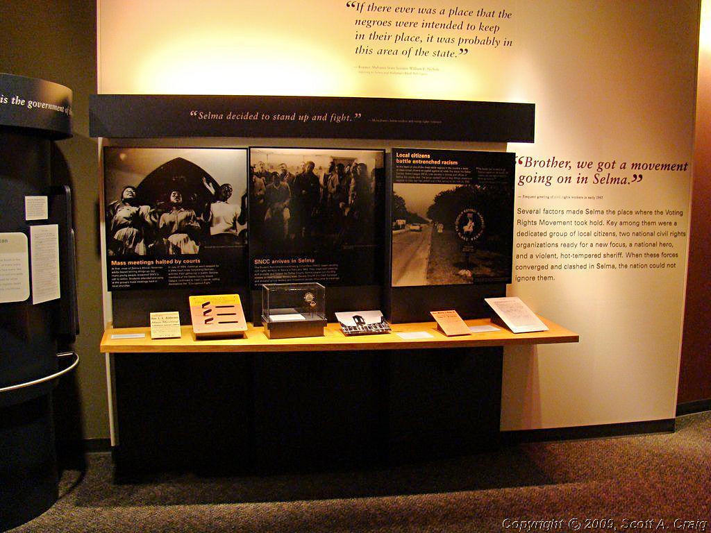
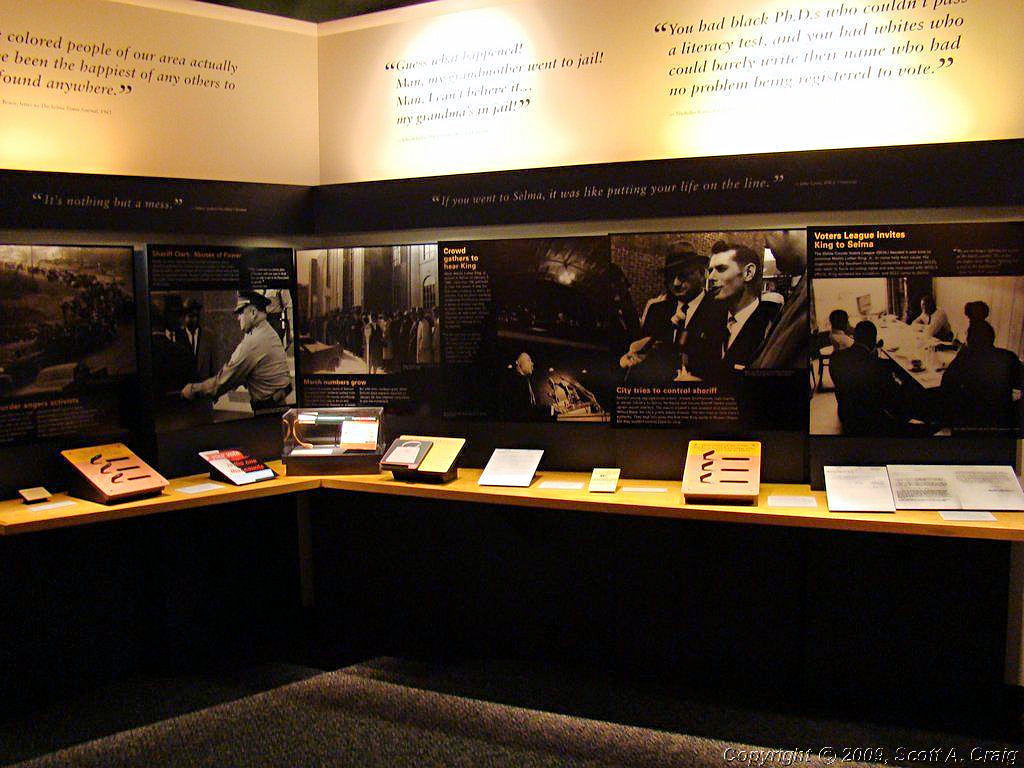
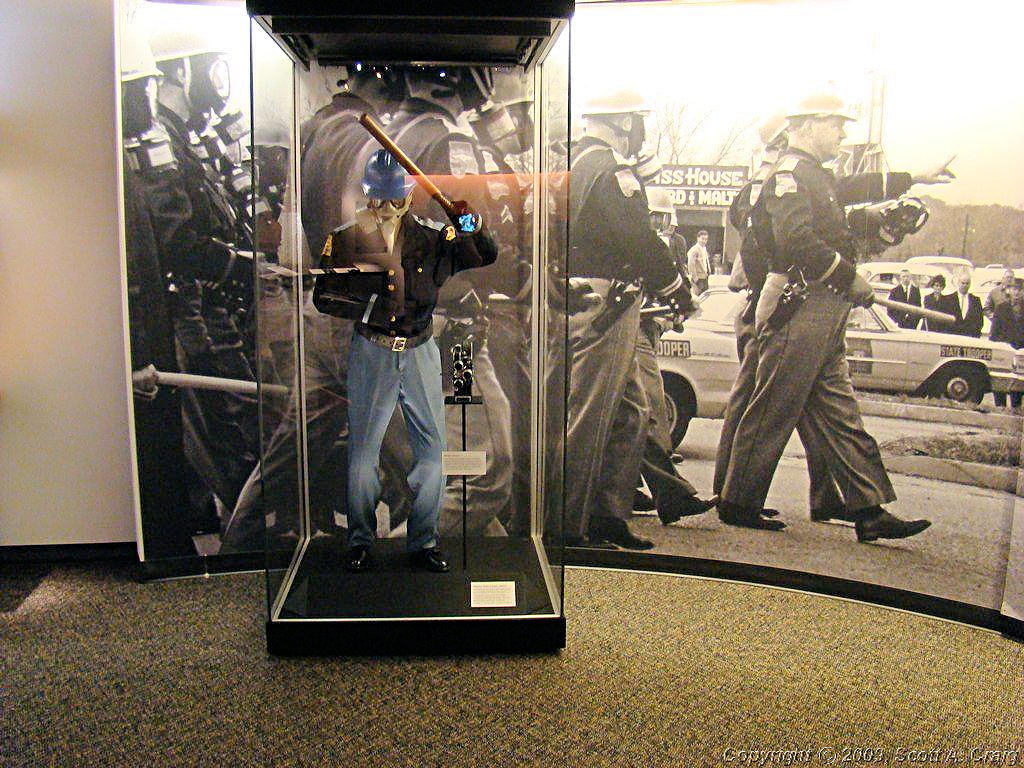
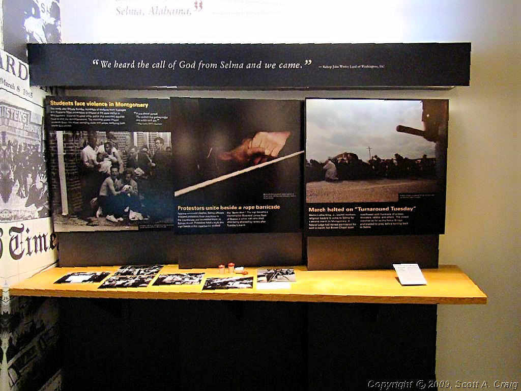
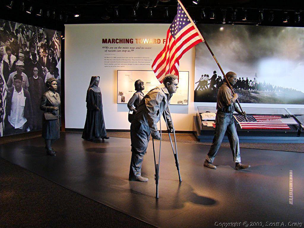
I left Nashville early on the morning of September 13 headed south toward Birmingham. My first stop was at the Selma to Montgomery National Historic Trail (GPS coordinates N32.27082 W86.72788). Per their web site, "The Selma to Montgomery National Voting Rights Trail was established by Congress in 1996 to commemorate the events, people, and route of the 1965 Voting Rights March in Alabama. The route is also designated as a National Scenic Byway/All-American Road.
| ||||
 Selma to Montgomery National Historic Trail |
 Selma to Montgomery National Historic Trail |
 Selma to Montgomery National Historic Trail |
||
 Selma to Montgomery National Historic Trail |
 Selma to Montgomery National Historic Trail |
 Selma to Montgomery National Historic Trail |
||
 Selma to Montgomery National Historic Trail |
 Selma to Montgomery National Historic Trail |
 Selma to Montgomery National Historic Trail |
||
 Selma to Montgomery National Historic Trail |
 Selma to Montgomery National Historic Trail |
 Selma to Montgomery National Historic Trail |
||
|
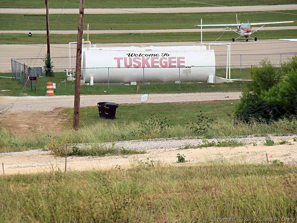
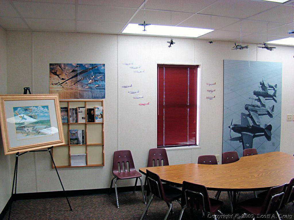
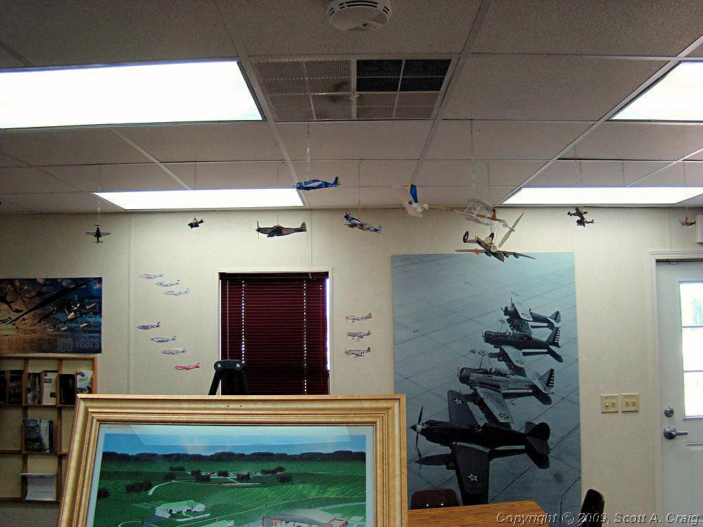
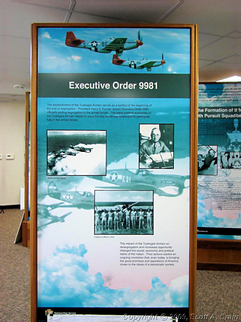
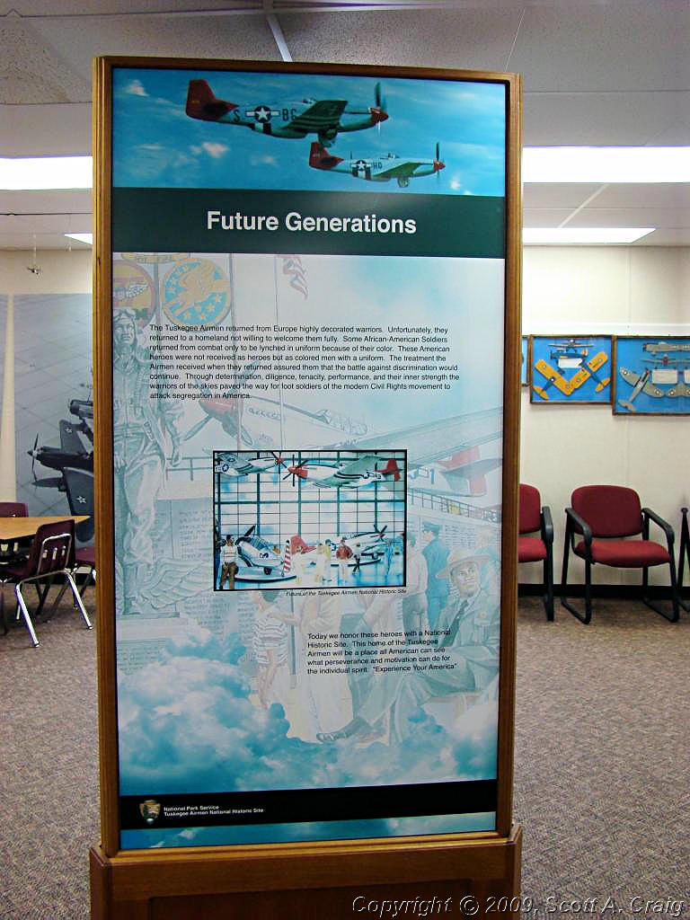
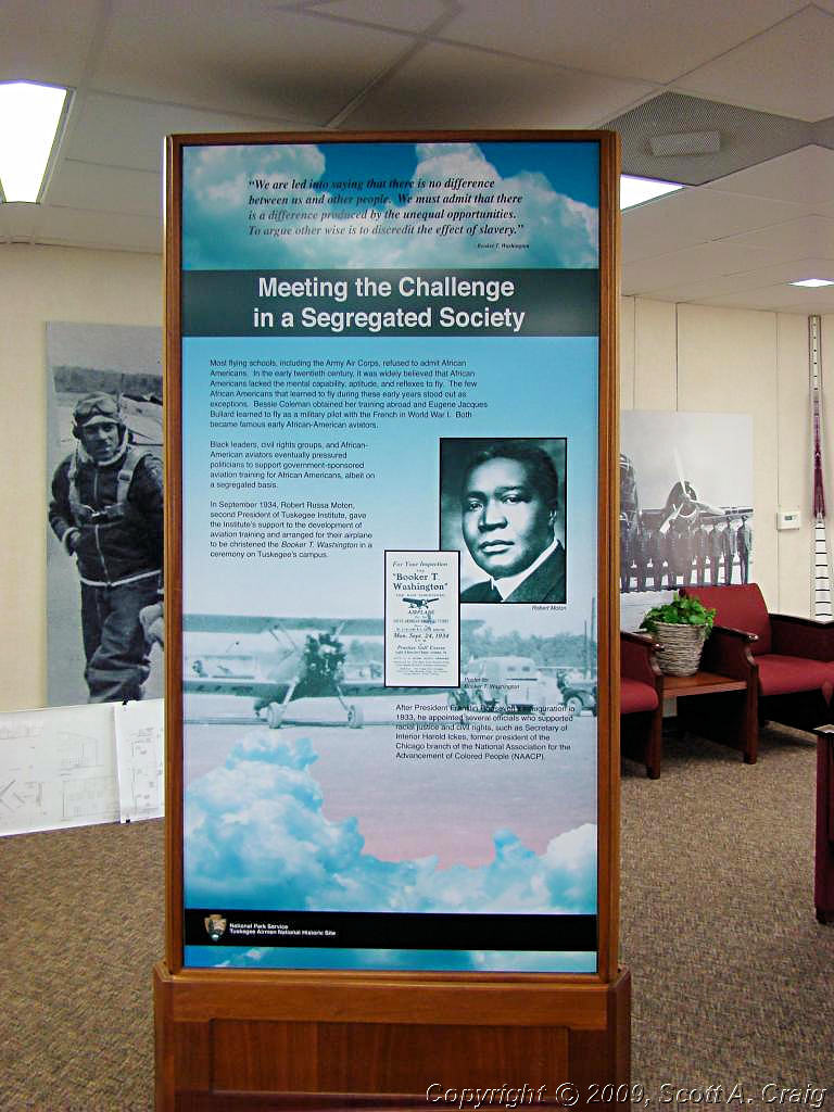
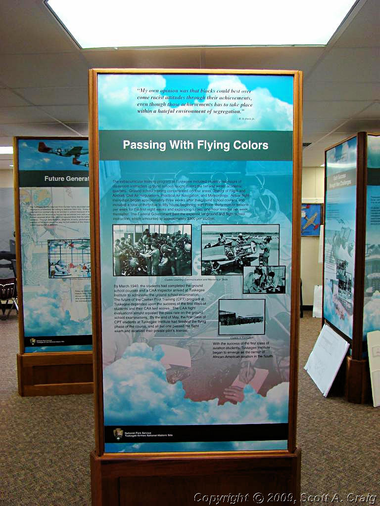
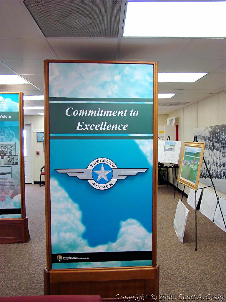
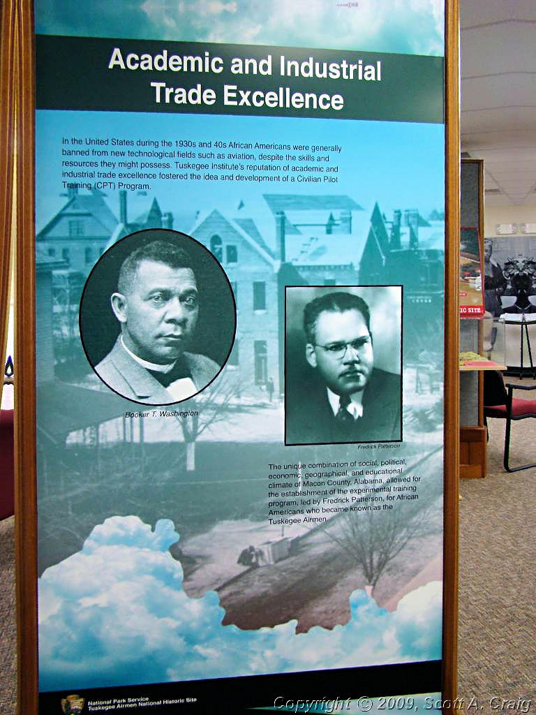
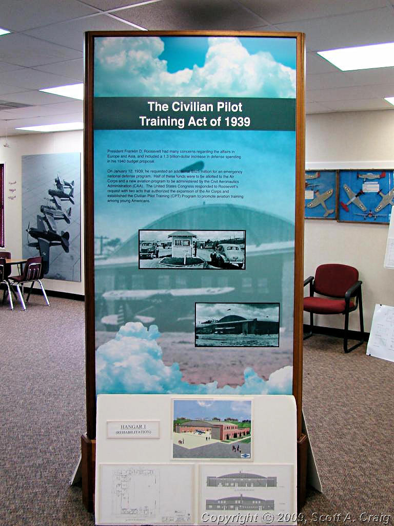
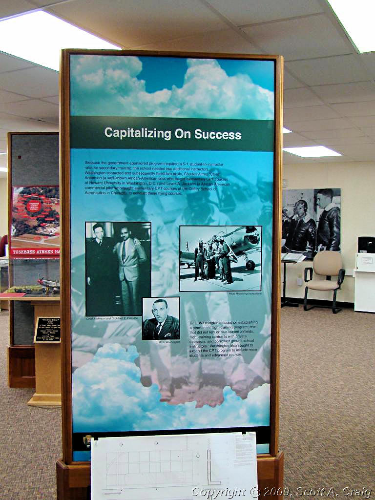
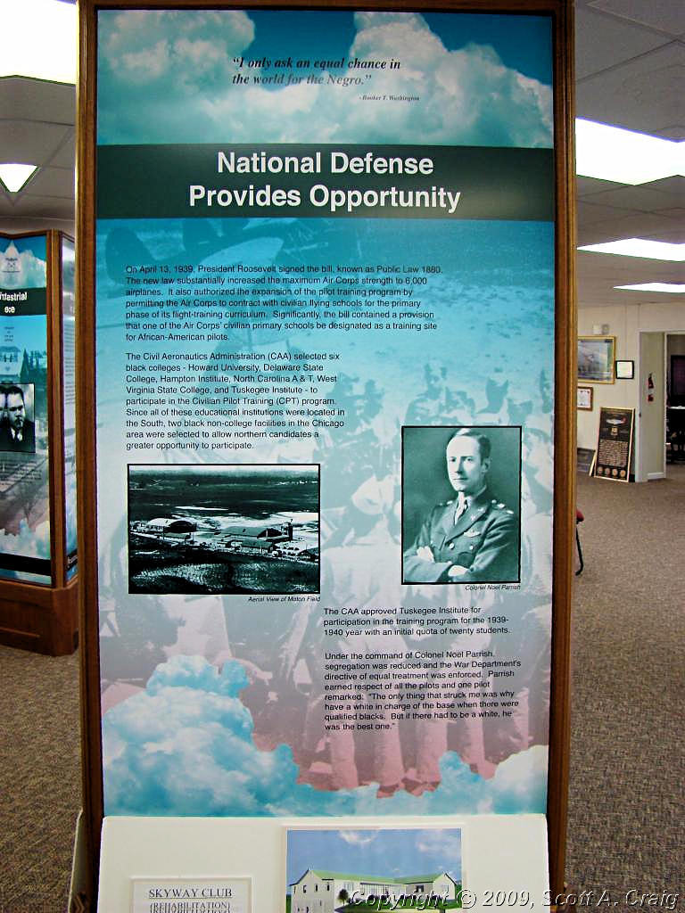
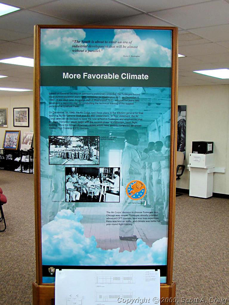
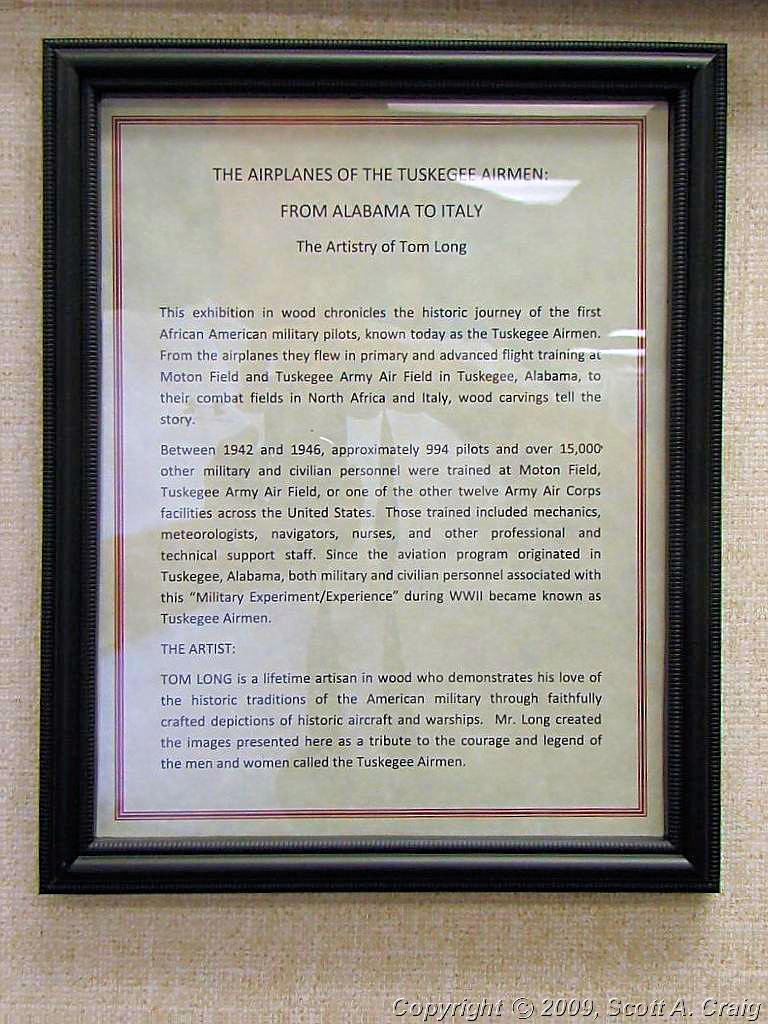
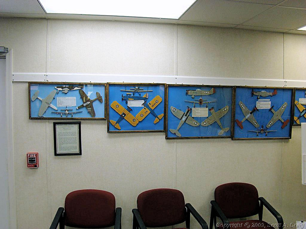
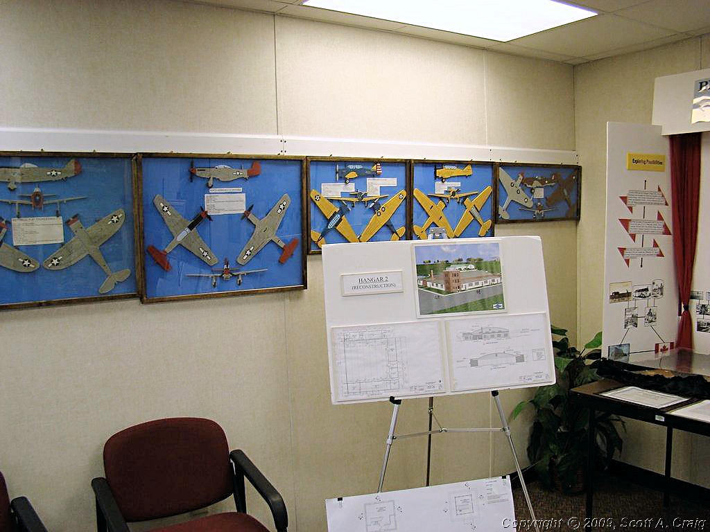
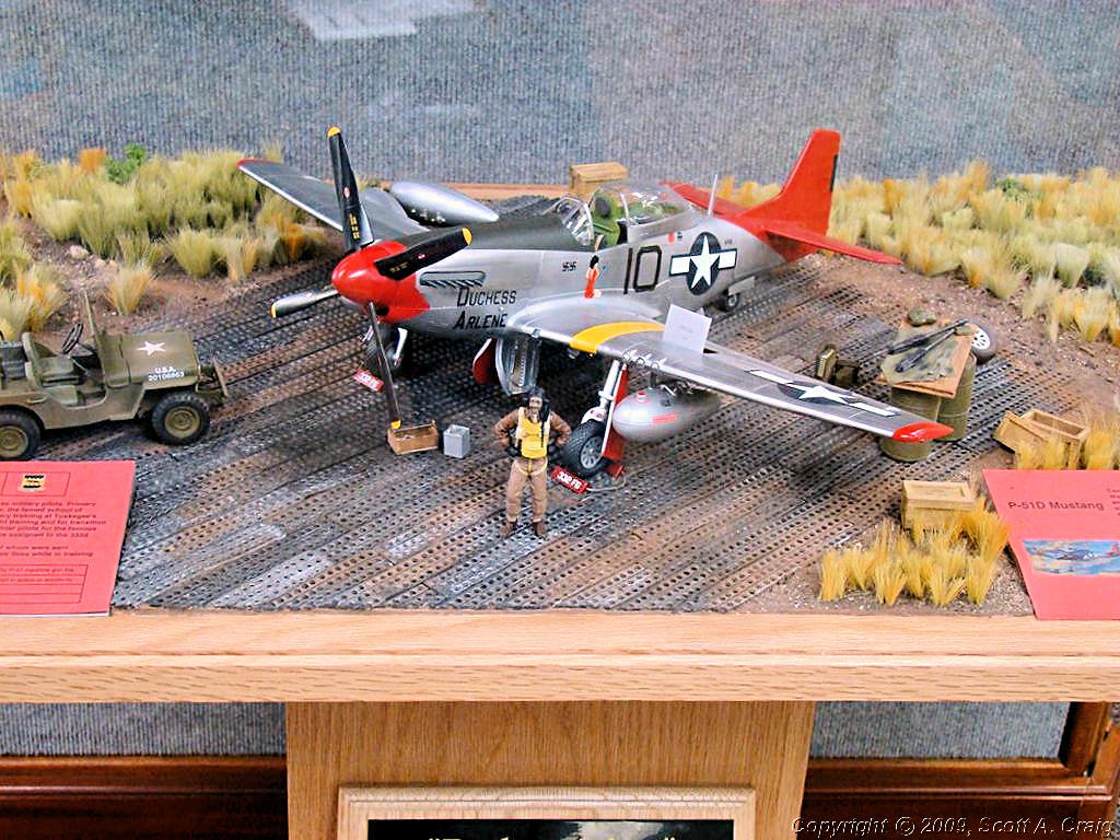
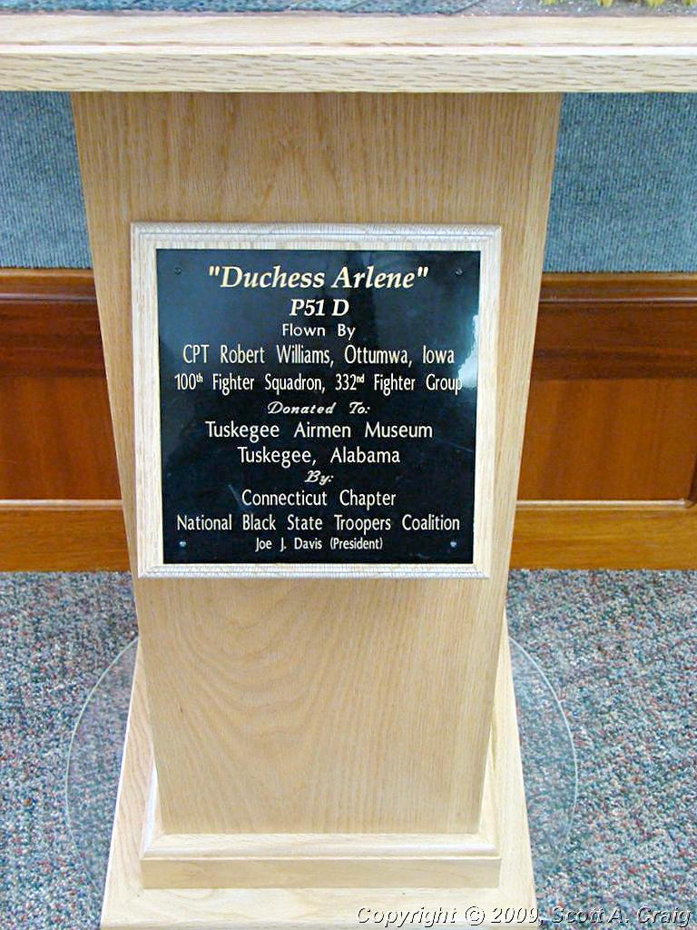
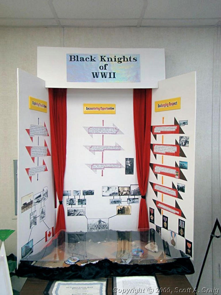
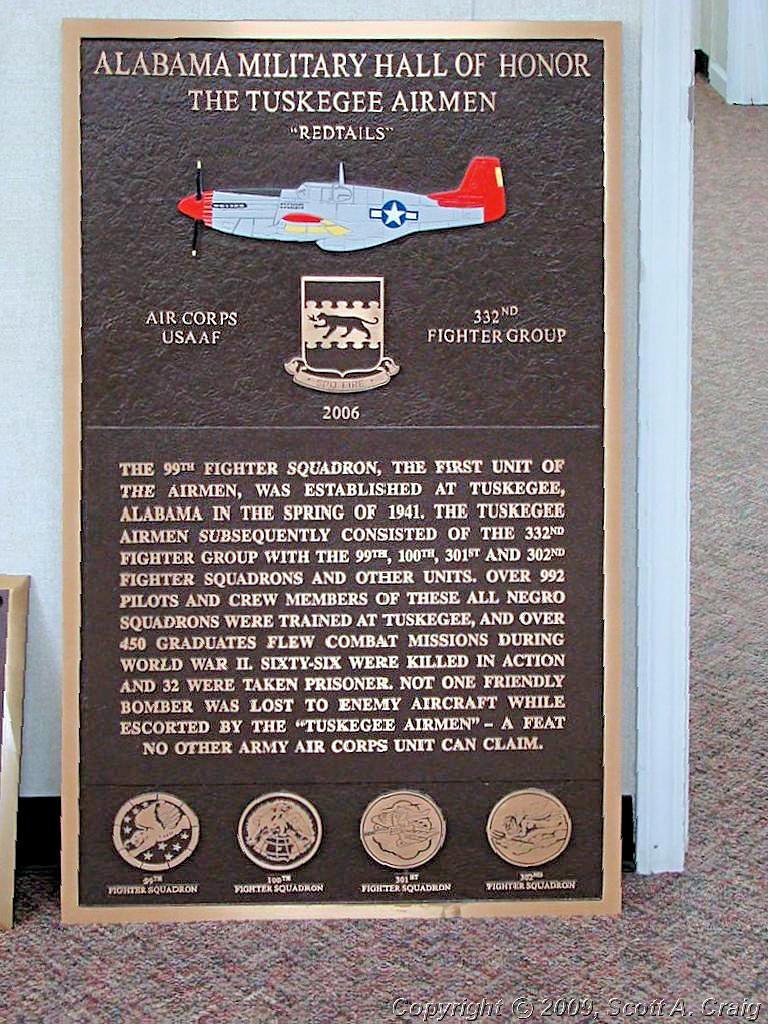
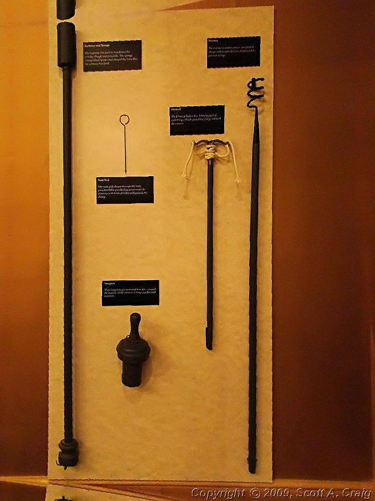
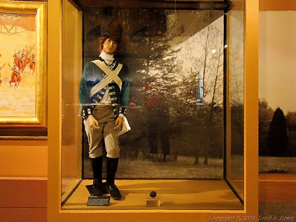
After the Selma to Montgomery site I headed east for Tuskegee, AL. The site of the Tuskegee Airmen (GPS coordinates N32.45664 W85.68296) is one I have wanted to visit for a couple of years. It takes a lot to impress me; money won't do it, talk won't do it, power won't do it. About the only thing that really impresses me is actions and the need to do what is right regardless of how life is stacked against you. The Tuskegee Airmen did just that. The Tuskegee Airmen was the first all black unit in the United States Army Air Force. They were originally an "Experiment", an "Experiment" to see if black men had the initiative and the ability to serve as a standalone unit of the USAAF. This they did, and remarkably well. Their efforts were not without immense difficulty, and the fact that they were able to overcome the racial bigotry and animosity of the 1940's and become a respected unit is simply amazing. The trials that they were put through by their own countrymen simply because of the color of their skin and despite the fact that they wanted to fight for their country is something that every person in this country should be ashamed of. But they persevered in spite of the odds against them. This is the kind of thing that impresses me. Visit their web site at http://www.tuskegeeairmen.org/ and read about their history. This was an amazing group of men. Oh, and I did ask the curator how accurate the movie Tuskegee Airmen was. He said that as far as the historical aspects of the movie it was relatively accurate. As far as the personages of those portrayed it left a lot to be desired.
| ||||
 The Tuskegee Airmen NHS |
 The Tuskegee Airmen NHS |
 The Tuskegee Airmen NHS |
||
 The Tuskegee Airmen NHS |
 The Tuskegee Airmen NHS |
 The Tuskegee Airmen NHS |
||
 The Tuskegee Airmen NHS |
 The Tuskegee Airmen NHS |
 The Tuskegee Airmen NHS |
||
 The Tuskegee Airmen NHS |
 The Tuskegee Airmen NHS |
 The Tuskegee Airmen NHS |
||
 The Tuskegee Airmen NHS |
 The Tuskegee Airmen NHS |
 The Tuskegee Airmen NHS |
||
 The Tuskegee Airmen NHS |
 The Tuskegee Airmen NHS |
 The Tuskegee Airmen NHS |
||
 The Tuskegee Airmen NHS |
 The Tuskegee Airmen NHS |
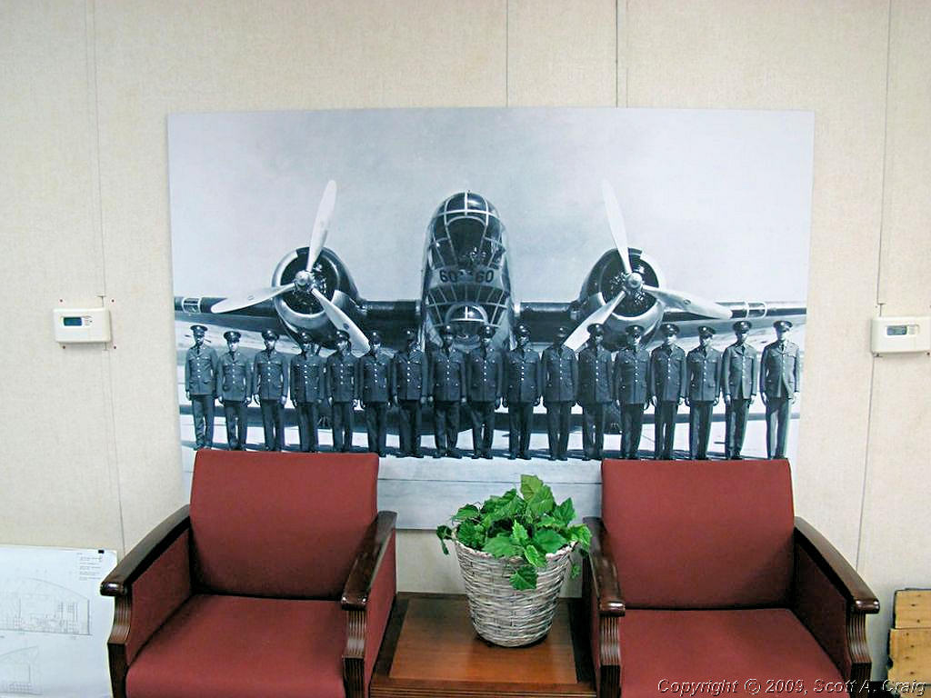 The Tuskegee Airmen NHS |
||
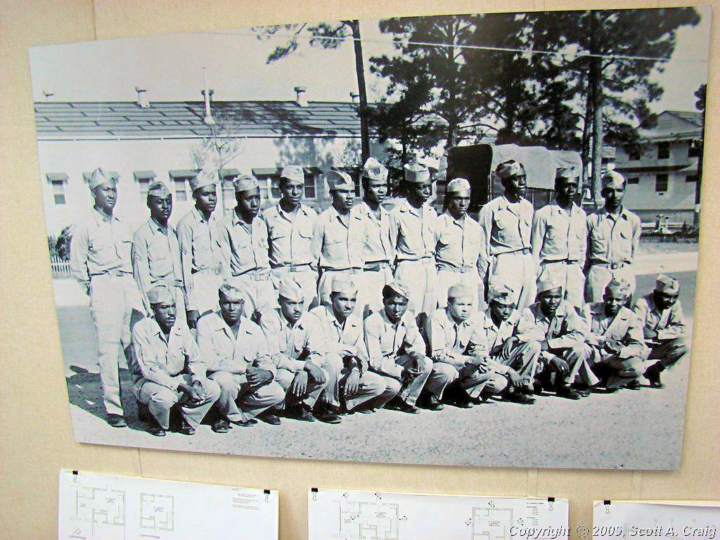 The Tuskegee Airmen NHS |
 The Tuskegee Airmen NHS |
 The Tuskegee Airmen NHS |
||
|
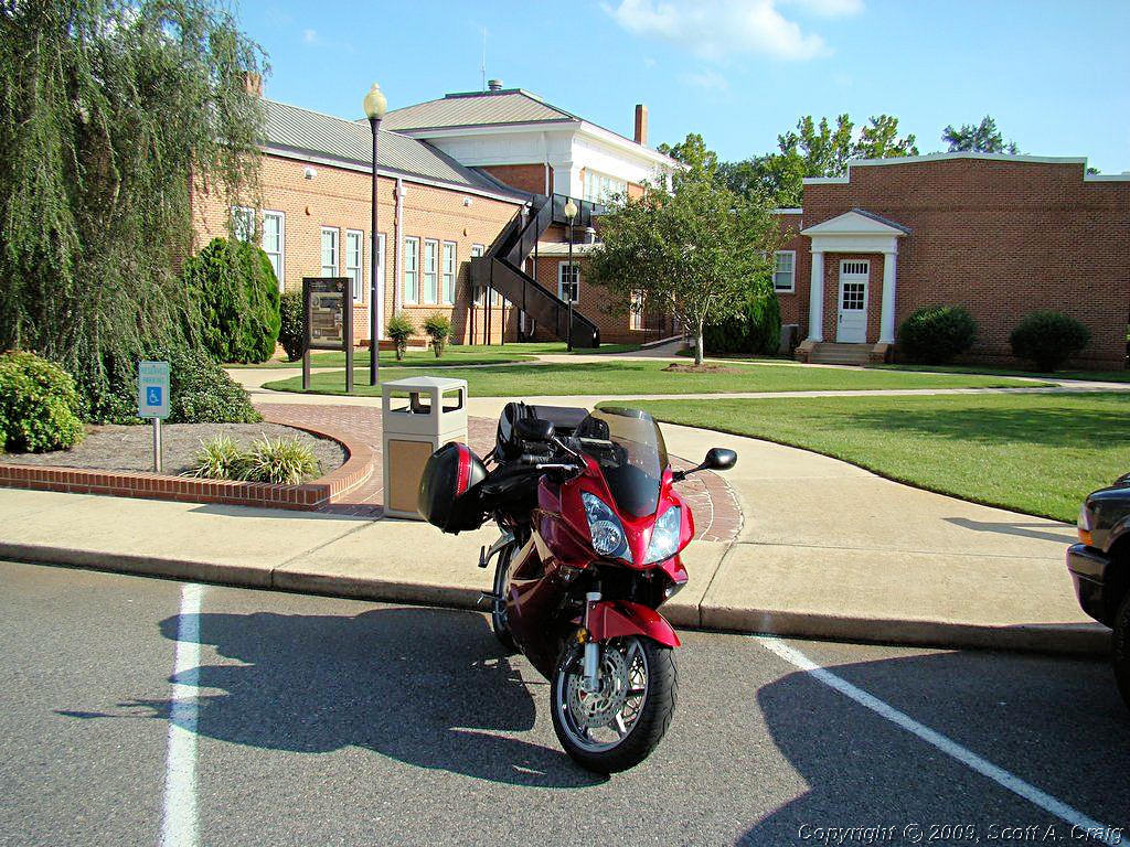
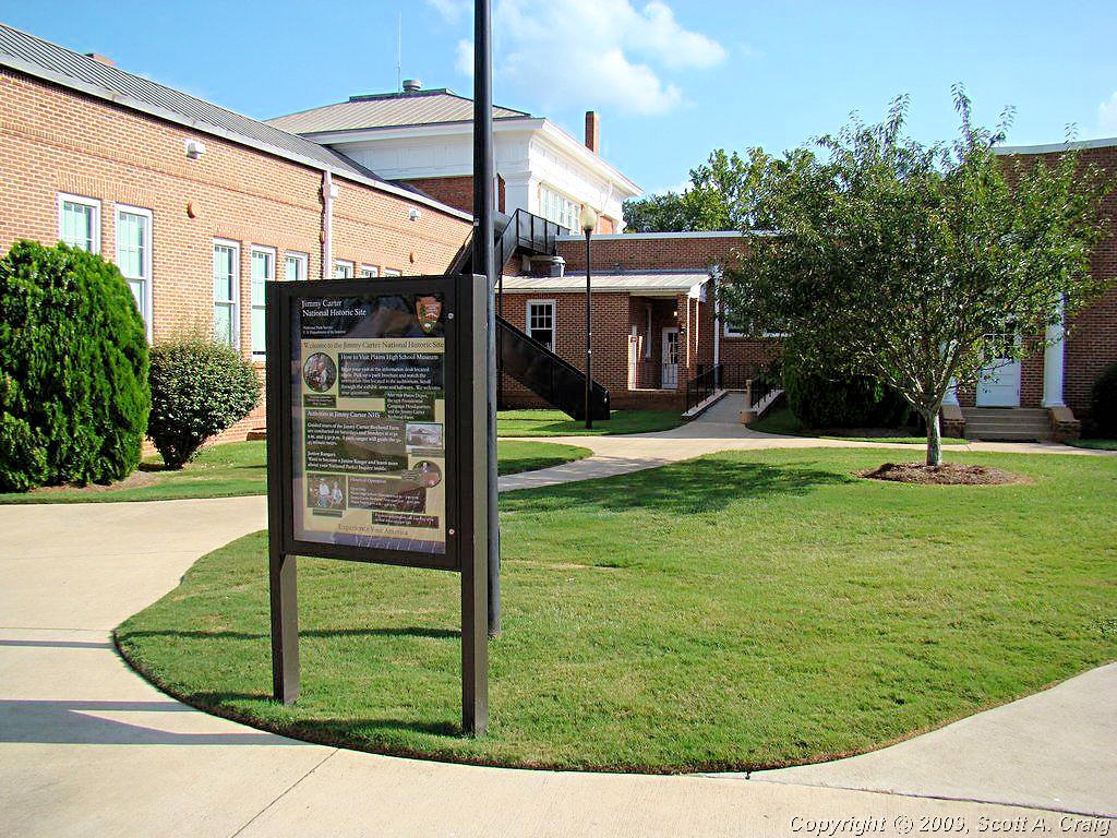
Next was a "Presidential" stop. I visited the Jimmy Carter NHS
(GPS coordinates N32.03706 W84.39285) in Plains, GA. To do that I had to ride about 100 miles east into
Georgia. A nice ride south of Columbus, GA along some of the Alabama and Georgia state highways.
The Jimmy Carter NHS, as the name implies, commemorates the life of former president Jimmy Carter. Mr. Carter was the 39th president of the United States and recipient of the 2002 Nobel Peace Prize. After his term as president he returned to Plains, GA where he was born and now lives to this day. I didn't stay at this site very long because I really wanted to get to the next site before they closed. Besides they were on the verge of closing here as well.
| ||||
 Jimmy Carter NHS |
 Jimmy Carter NHS |
|||
|
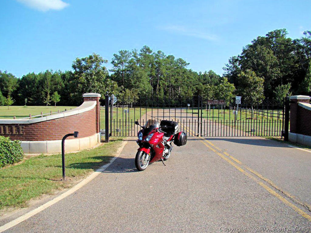
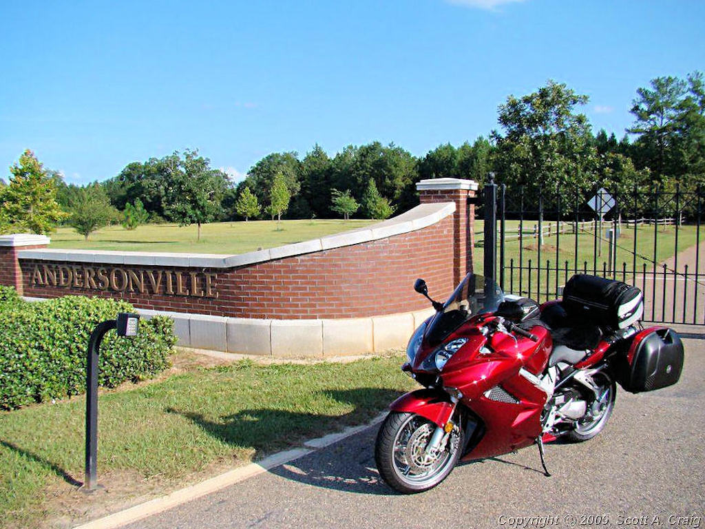
My last stop of the day was to have been at the Andersonville NHS at
Andersonville, GA. (GPS coordinates N32.20719 W84.12875). I really wanted to visit this site since it commemorates all
of the Prisoners of War from the Revolutionary War to Iraqi Freedom. Unfortunately it didn't happen because I was about
30 minutes too late. I was pretty sure that was going to be the case when I left the Carter site but I gave it a
try. All I saw of the site was a gated entrance though.
| ||||
 Andersonville NHS |
 Andersonville NHS |
|||
|
I still felt like riding some more so I headed on south and finally called it a day at Tifton, GA. 605 miles for my first
day out of the box isn't too bad, and I visited four National Historic Sites. A long and enjoyable shower, some supper
at the Shoneys next door, and a little time doing paperwork and cleaning my riding gear and I was done for the day.
| ||||
| Sunday September 14, 2008 - Tifton, GA to Tybee Island, GA - 489 miles | ||||
|
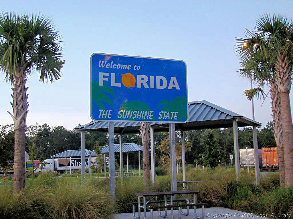
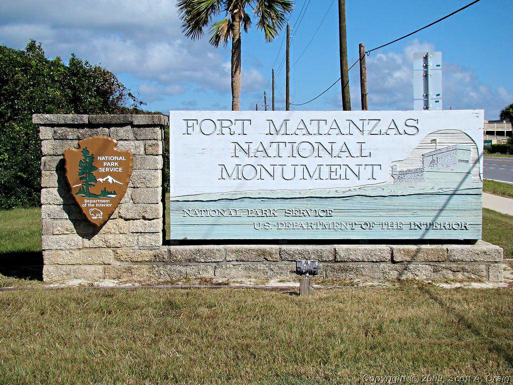
It isn't 495 miles from Tifton, GA to Tybee Island, GA. In fact the direct route is only 215 miles but I didn't go the direct route, I went by way of St. Augustine, FL. There were some Passport Stamps in northern Florida I wanted to get plus I just wanted to go through Florida to be able to say I had been there on a bike. My route made a BIG curve to the south and then back up to the north again.
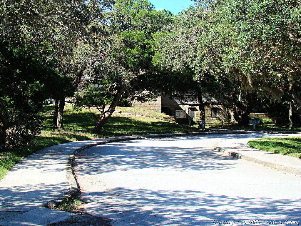
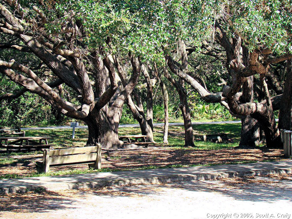
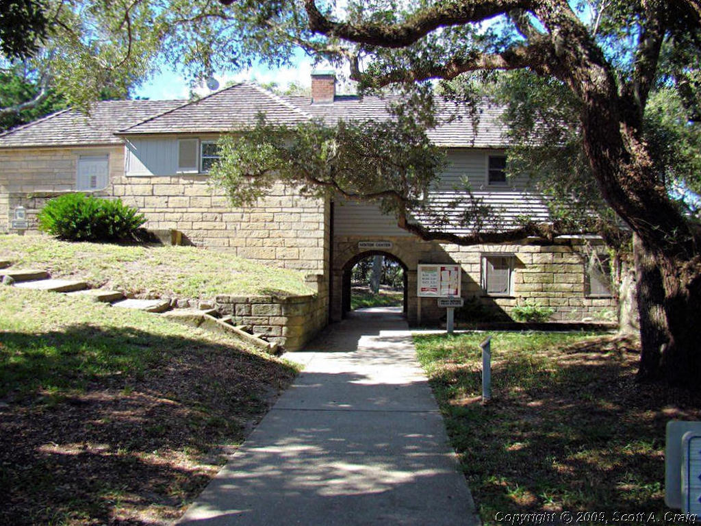
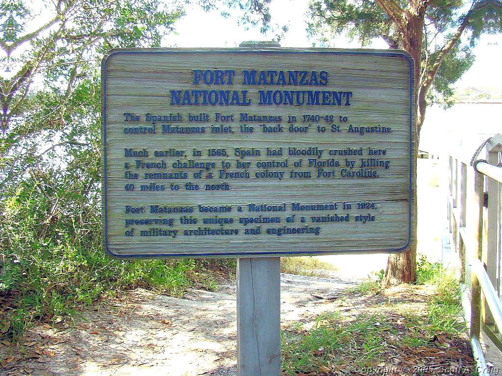
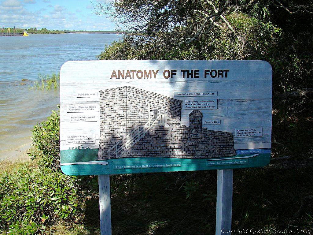
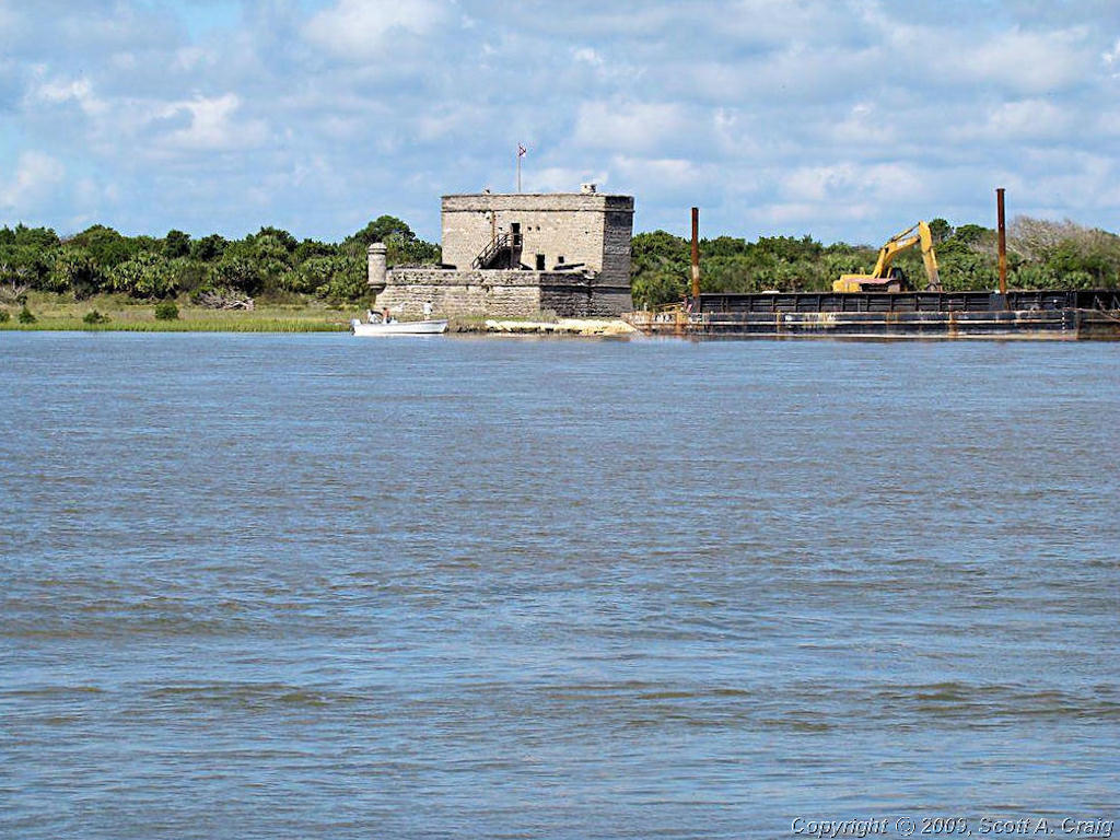
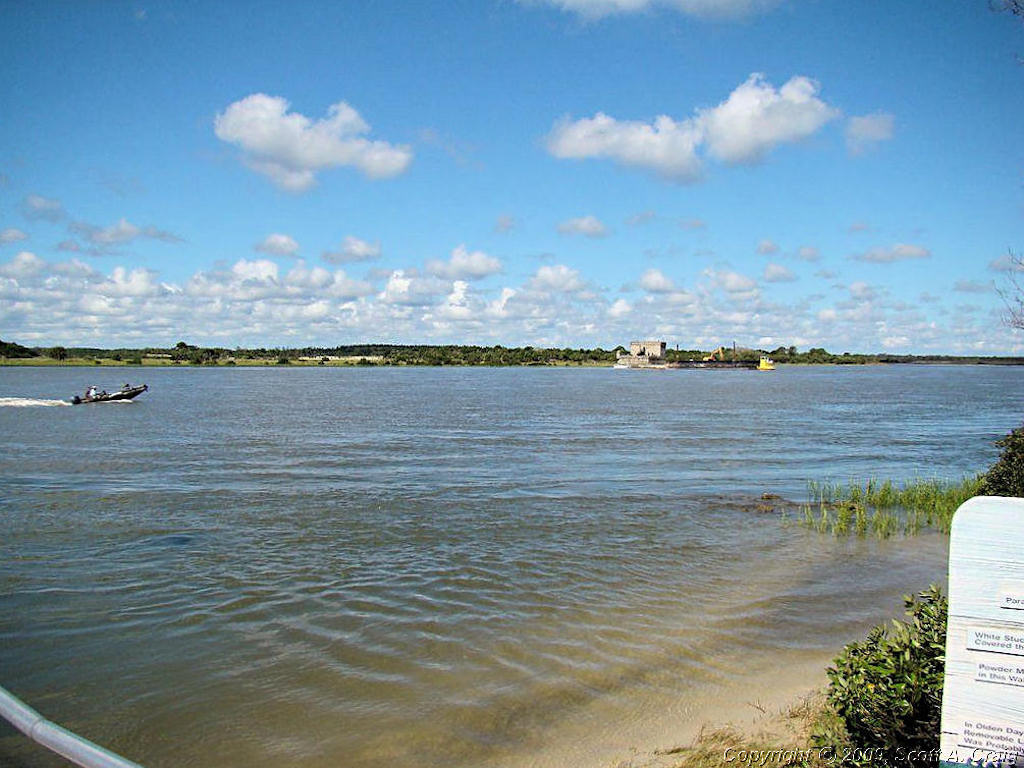
My first stop for today was at the Ft. Matanzas NHS south of St. Augustine, FL. (GPS coordinates N29.71510 W81.23437). There are a number of forts on the Florida and Georgia coast and this site encompasses the remains of one of them. I didn't take the ferry over to the fort itself, which resides on a small island, but I did take some photographs of the area.
| ||||
 Fort Matanzas NHS |
 Fort Matanzas NHS |
 Fort Matanzas NHS |
||
 Fort Matanzas NHS |
 Fort Matanzas NHS |
 Fort Matanzas NHS |
||
 Fort Matanzas NHS |
 Fort Matanzas NHS |
 Fort Matanzas NHS |
||
|
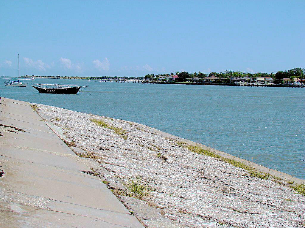
After Ft. Matanzas I headed north up the coast through St. Augstine. I decided that instead of the interstate I'd
ride up Highway A1A along the coast. I've been on that highway several times and was looking forward to it, but I
forgot that in Florida there is nothing but hotels, motels, houses and sand dunes visible from the highway. I did
find a nice Visitors Center in Ft. Augustine and took a few photos. GPS coordinates at the VC are N29.85687 W81.26626.
| ||||
 St. Augustine Beach, FL |
 St. Augustine Beach, FL |
 St. Augustine Beach, FL |
||
 St. Augustine Beach, FL |
 St. Augustine Beach, FL |
|||
|
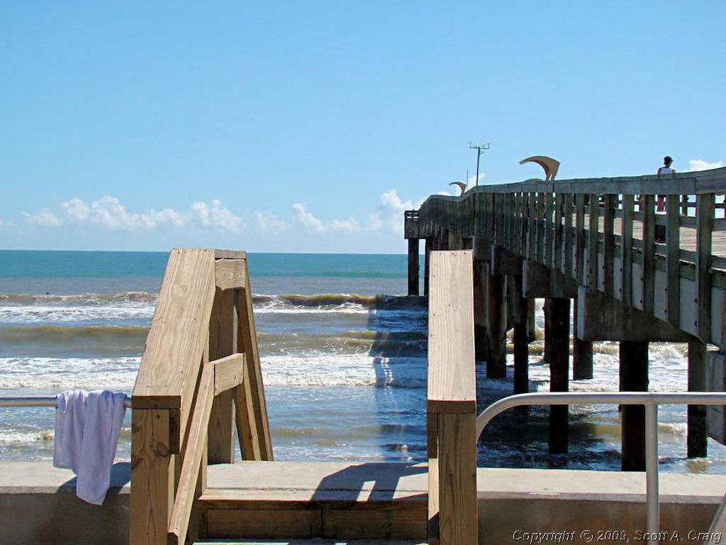
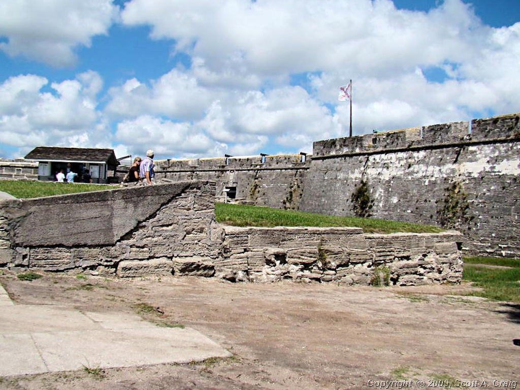
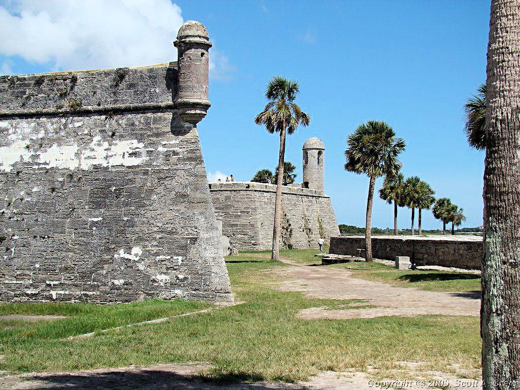
I continued north up Highway A1A to the Castillo de San Marcos National
Monument in north St. Augustine (GPS coordinates N29.89661 W81.31246). According to their web site, "A bastion
of the largest empire ever created, the Castillo was built to protect and defend Spains claims in the New World. Though
caught in the whirlwinds of colonial warfare and intrigue, it was never defeated in battle. Its scarred walls still
stand witness to over 330 years of history and culture."
I didn't tour the facility since, to be honest, I was more interested in looking at the ocean for a little while. Besides, it was HOT! Riding gear and Florida heat and humidity do not mix very well.
| ||||
 Castillo de San Marcos NM |
 Castillo de San Marcos NM |
 Castillo de San Marcos NM |
||
 Castillo de San Marcos NM |
 Castillo de San Marcos NM |
|||
|
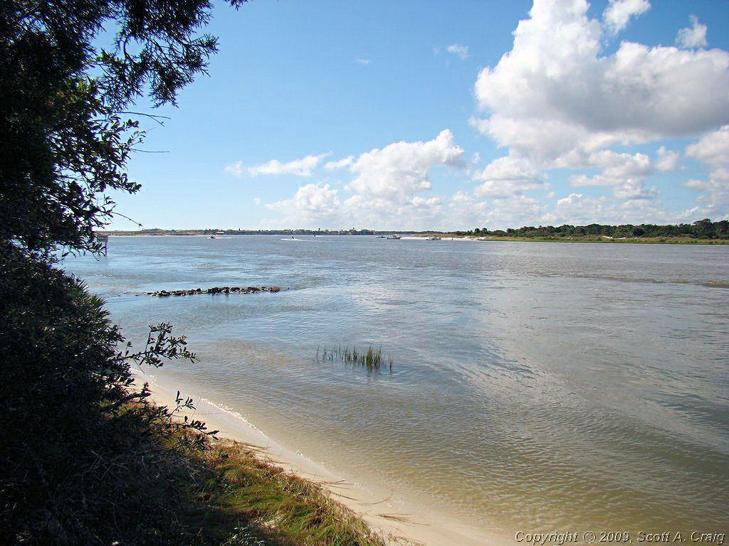
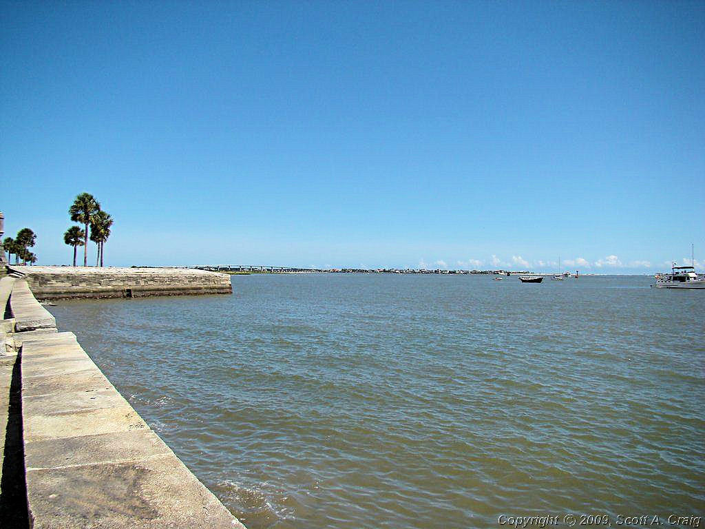
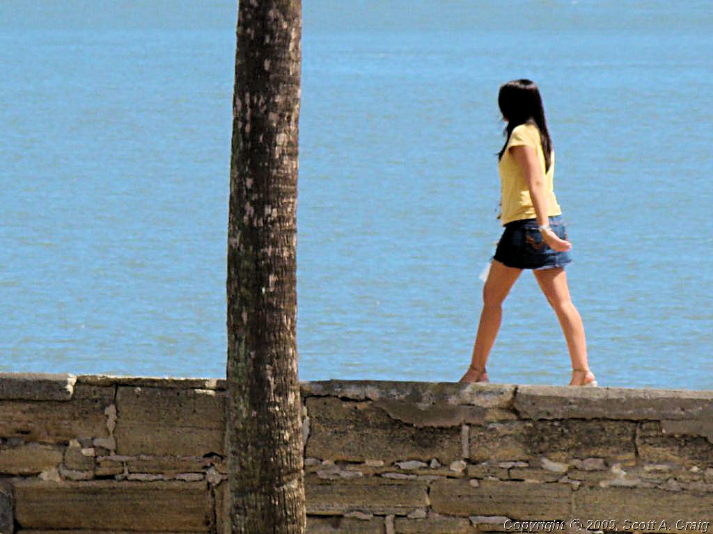
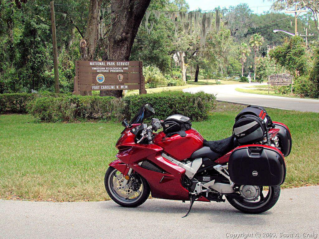
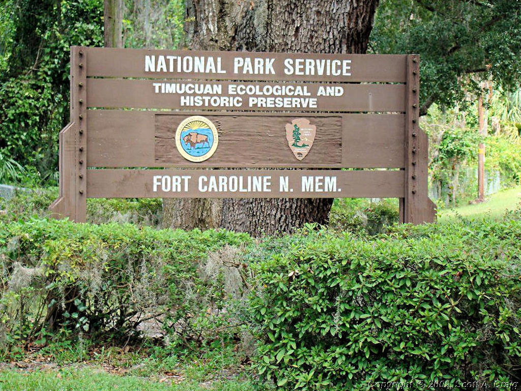
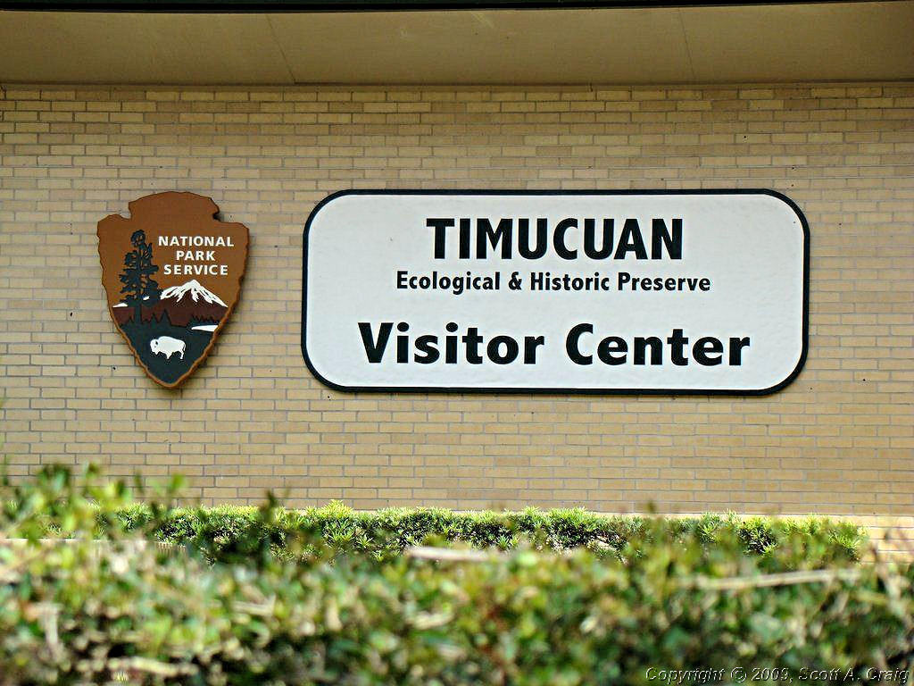
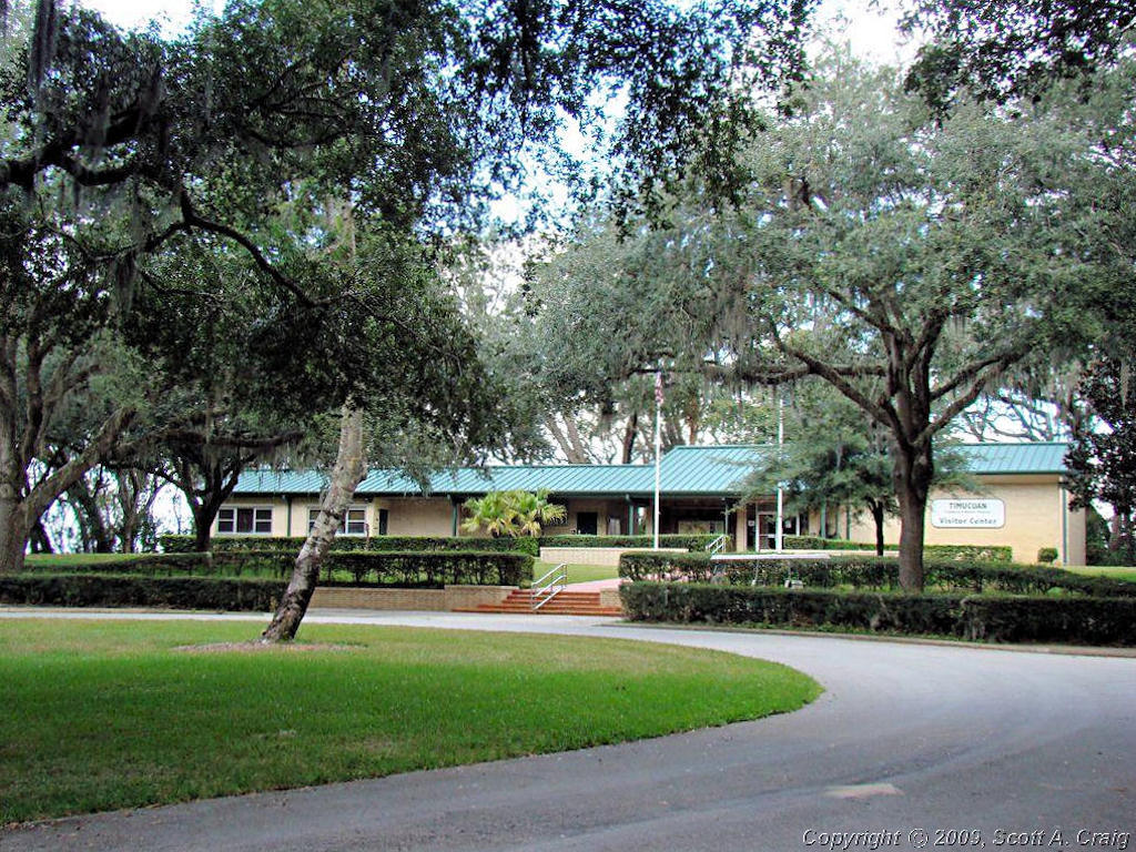
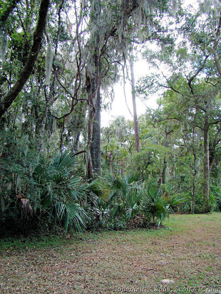
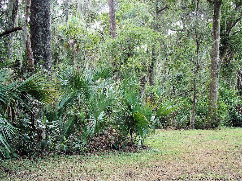
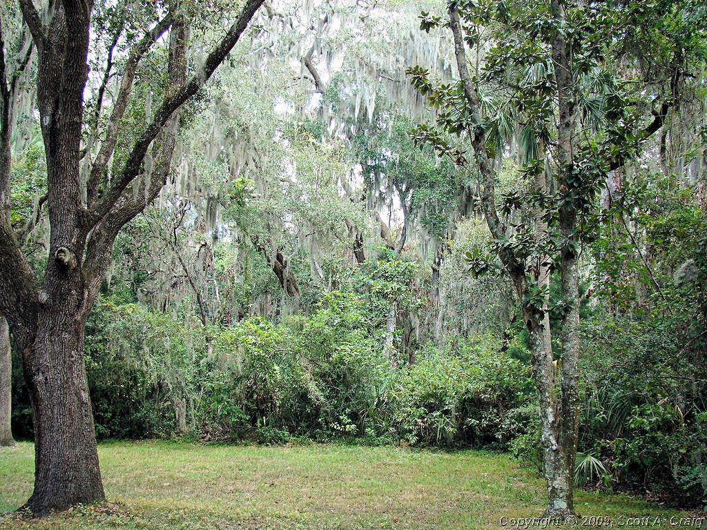
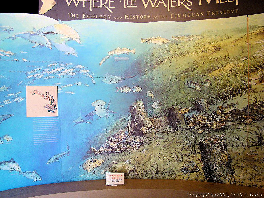
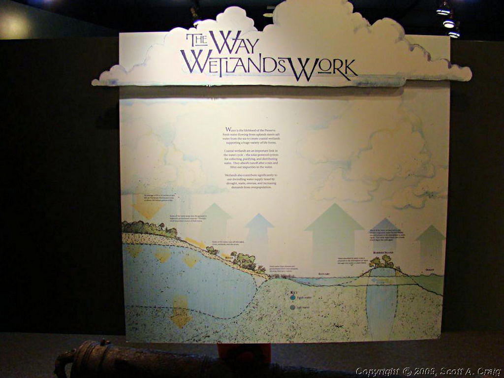
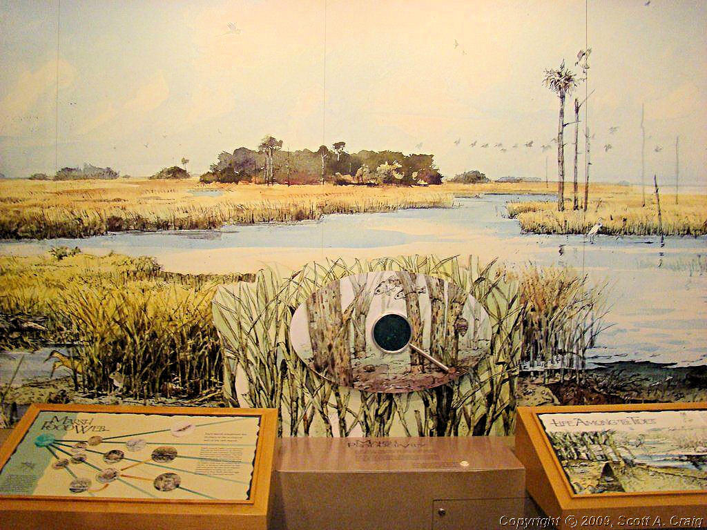
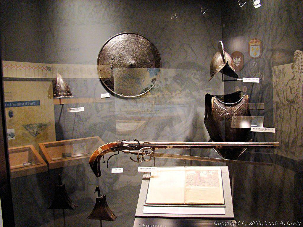
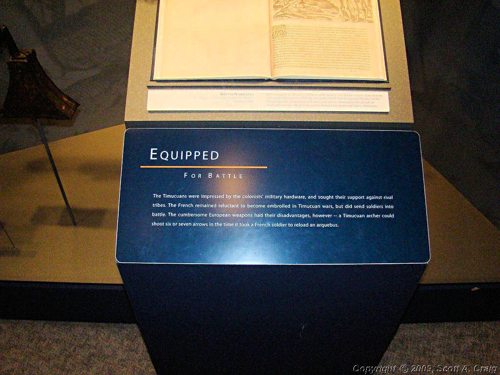
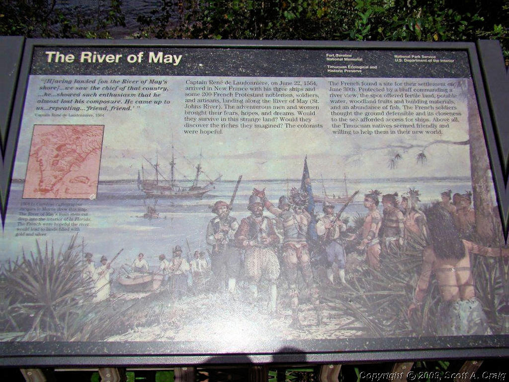
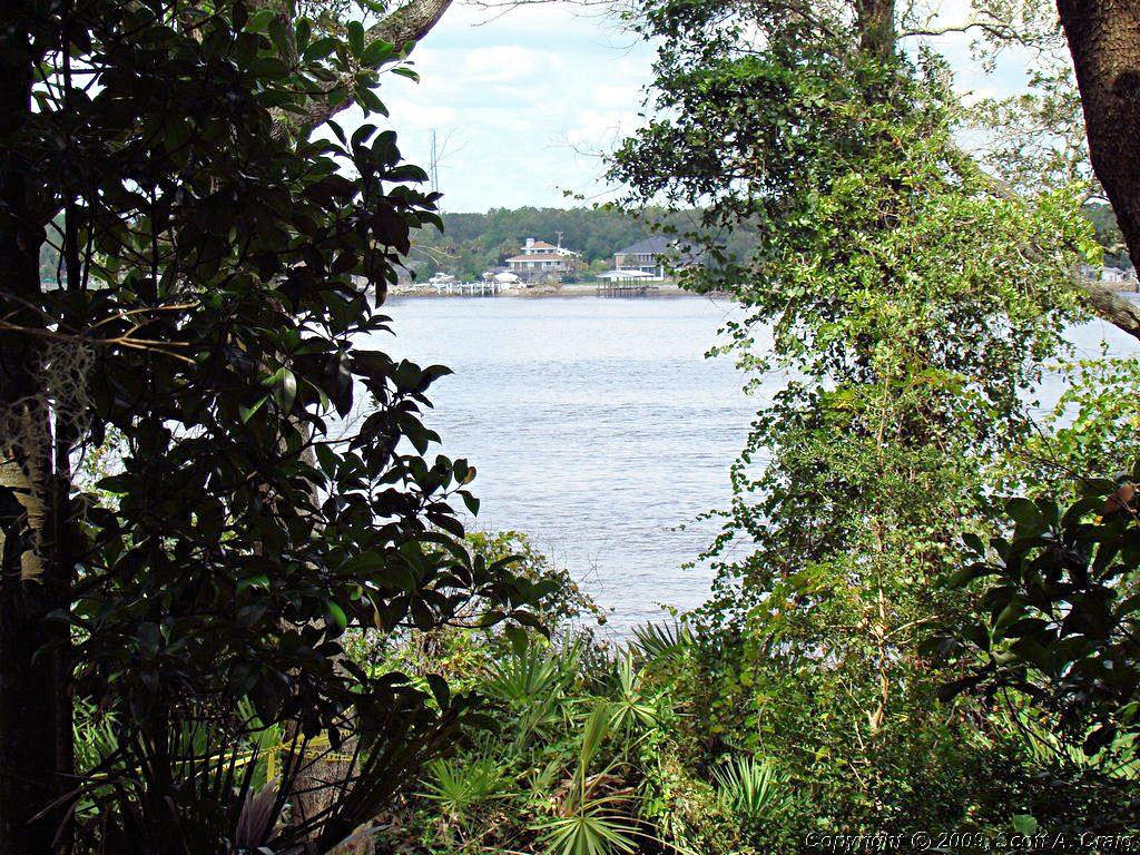
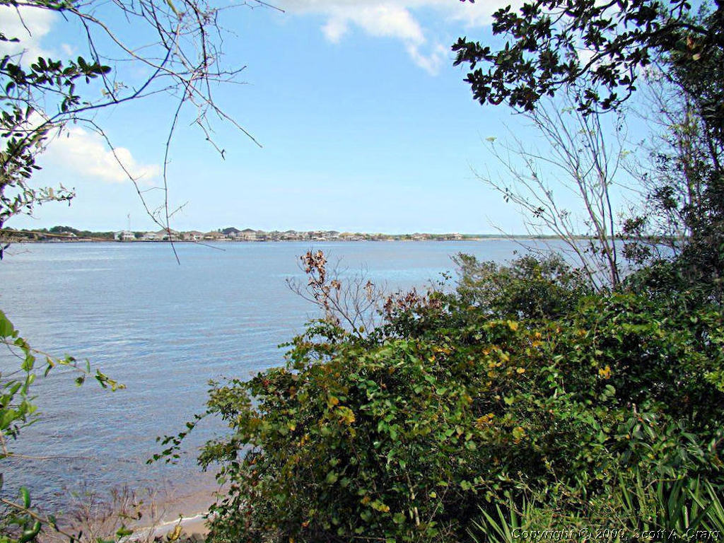
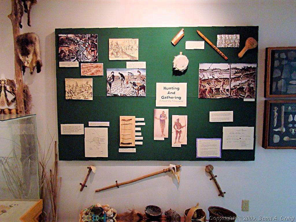
On up the coast I headed. From St. Augstine to north of Jacksonville, FL to the
Timucuan Ecological and Historic Preserve & Fort Caroline National Memorial
(NPS Web Site (GPS coordinates N30.38578 W81.49744). This
is a beautiful site on the St. John River north of Jacksonville. The view across the river is gorgeous and the
variety of vegation is amazing.
| ||||
 Ft. Caroline & Timucuan Preserve |
 Ft. Caroline & Timucuan Preserve |
 Ft. Caroline & Timucuan Preserve |
||
 Ft. Caroline & Timucuan Preserve |
 Ft. Caroline & Timucuan Preserve |
 Ft. Caroline & Timucuan Preserve |
||
 Ft. Caroline & Timucuan Preserve |
 Ft. Caroline & Timucuan Preserve |
 Ft. Caroline & Timucuan Preserve |
||
 Ft. Caroline & Timucuan Preserve |
 Ft. Caroline & Timucuan Preserve |
 Ft. Caroline & Timucuan Preserve |
||
 Ft. Caroline & Timucuan Preserve |
 Ft. Caroline & Timucuan Preserve |
 Ft. Caroline & Timucuan Preserve |
||
 Ft. Caroline & Timucuan Preserve |
 Ft. Caroline & Timucuan Preserve |
|||
|
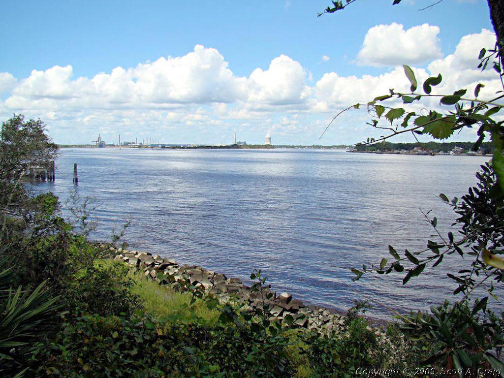
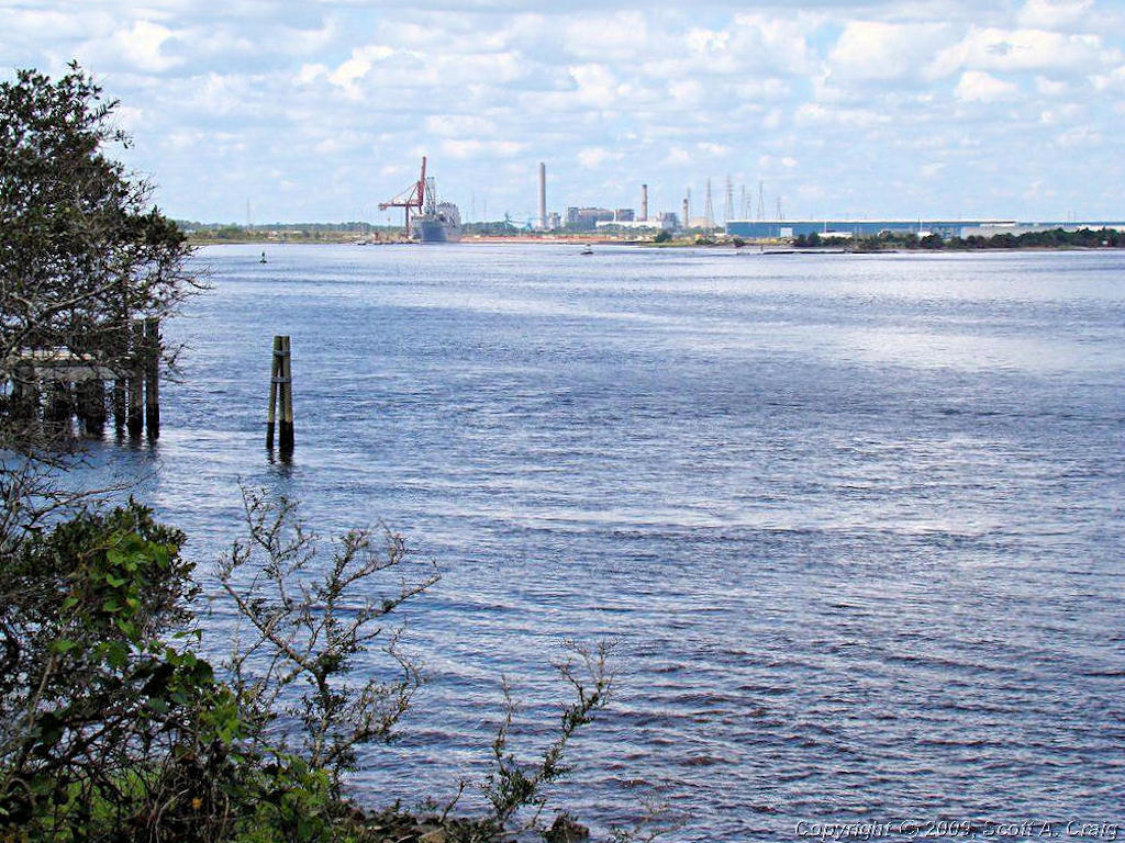
From Ft. Caroline & Timucuan I headed up I-95 to St. Marys, GA to the
Cumberland Islands National Seashore (GPS coordinates N30.72157 W81.54834). St. Marys is a small town on the St.
Marys River just off the coast of the Atlantic Ocean.
| ||||
 Cumberland Islands NS |
 Cumberland Islands NS |
 Cumberland Islands NS |
||
 Cumberland Islands NS |
 Cumberland Islands NS |
 Cumberland Islands NS |
||
 Cumberland Islands NS |
 Cumberland Islands NS |
 Cumberland Islands NS |
||
 Cumberland Islands NS |
 Cumberland Islands NS |
 Cumberland Islands NS |
||
|
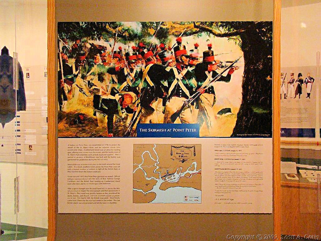
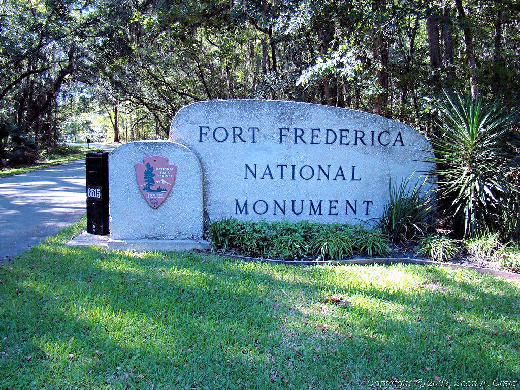
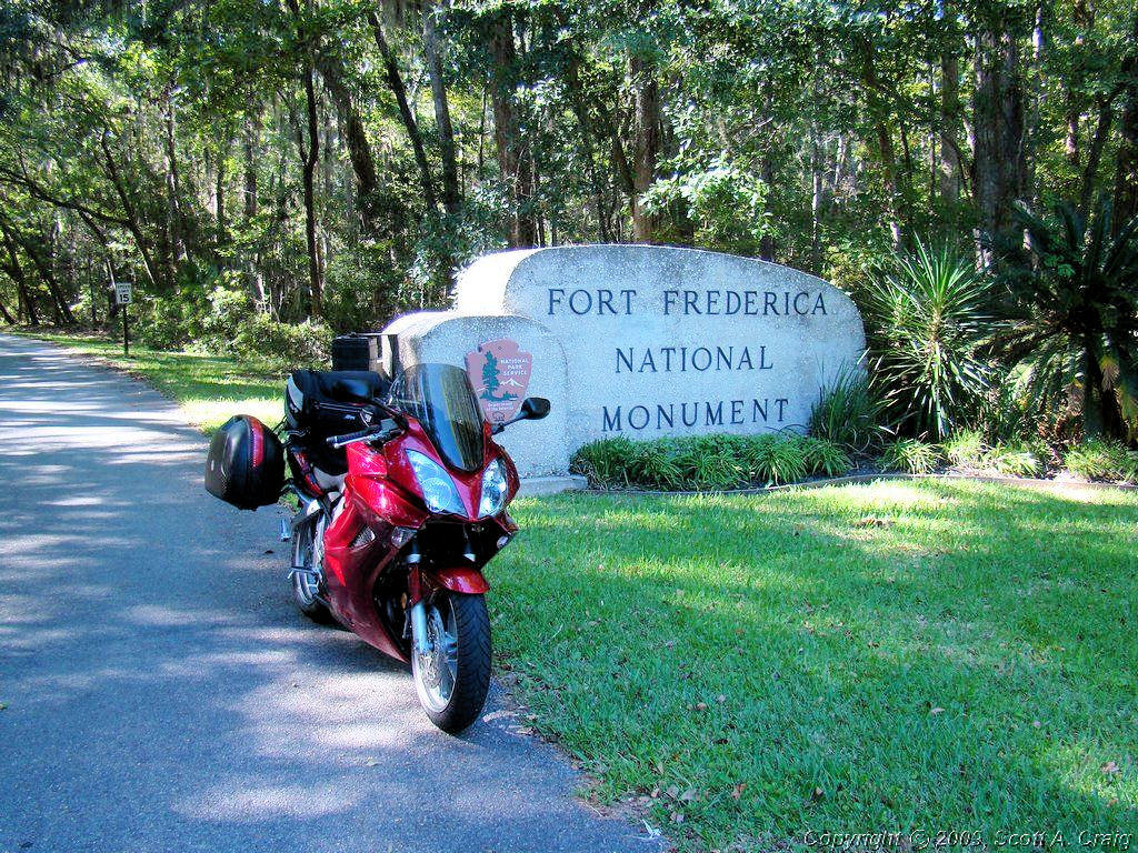
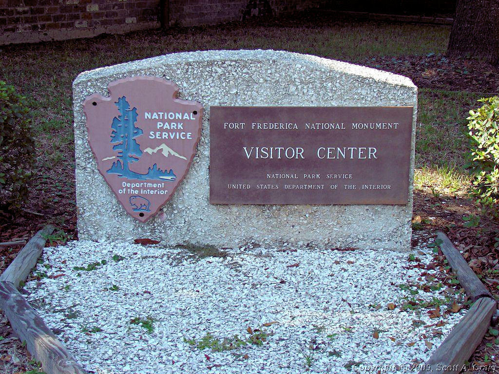
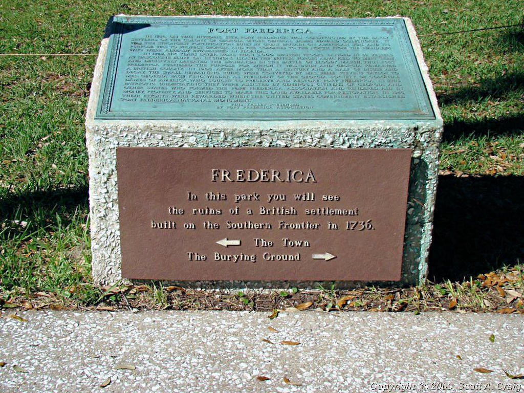
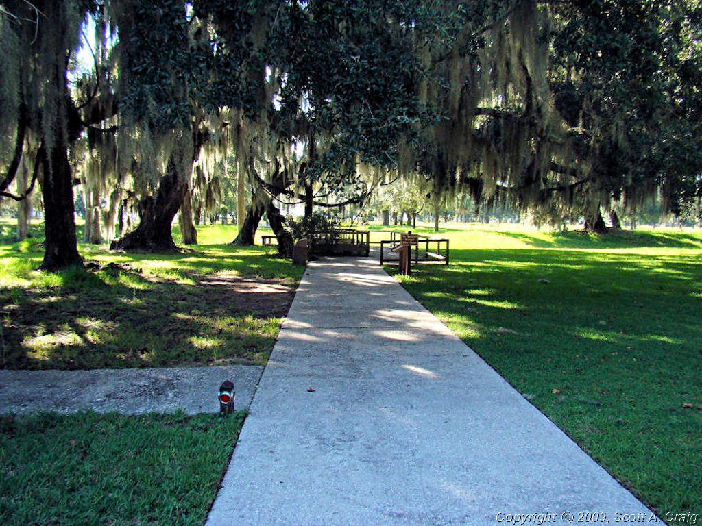
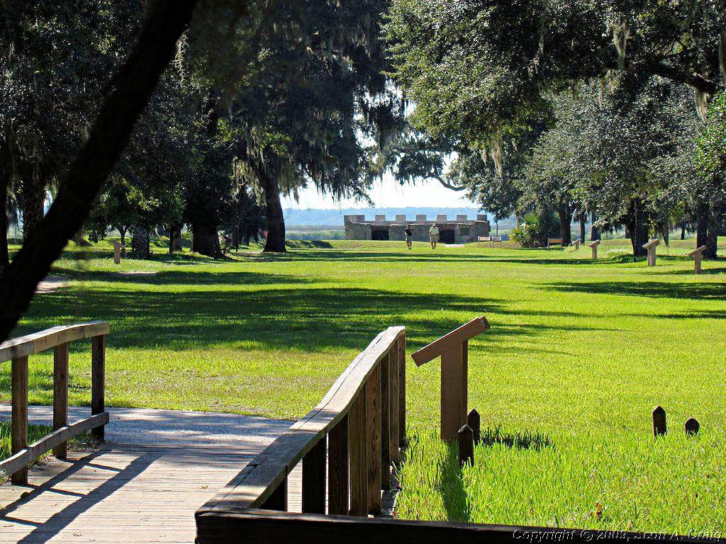
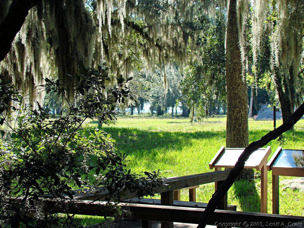
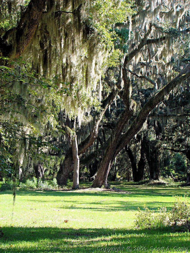
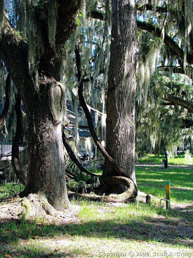
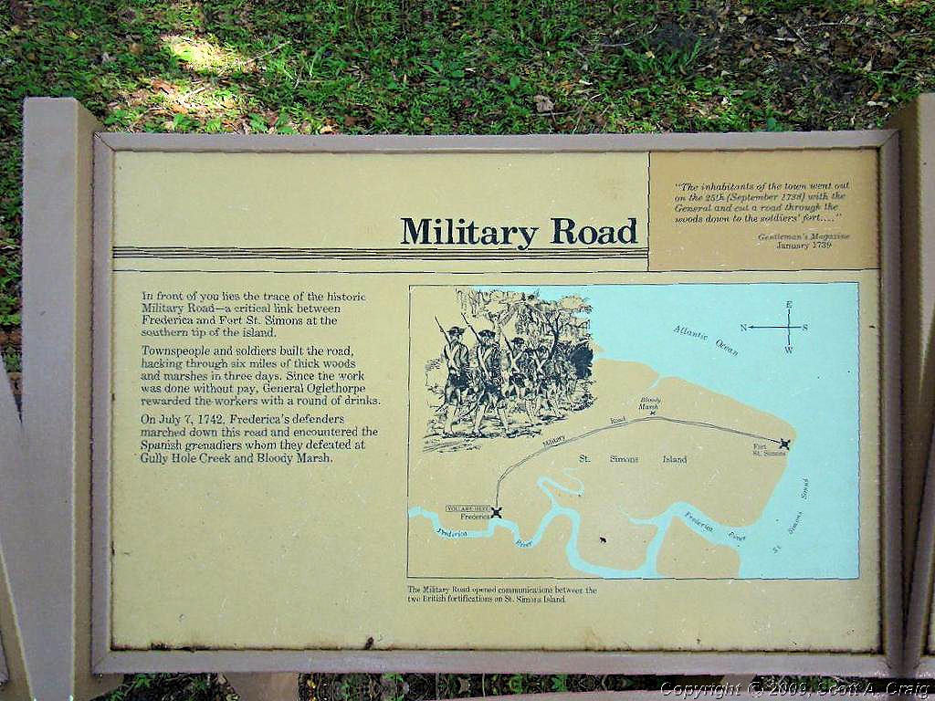
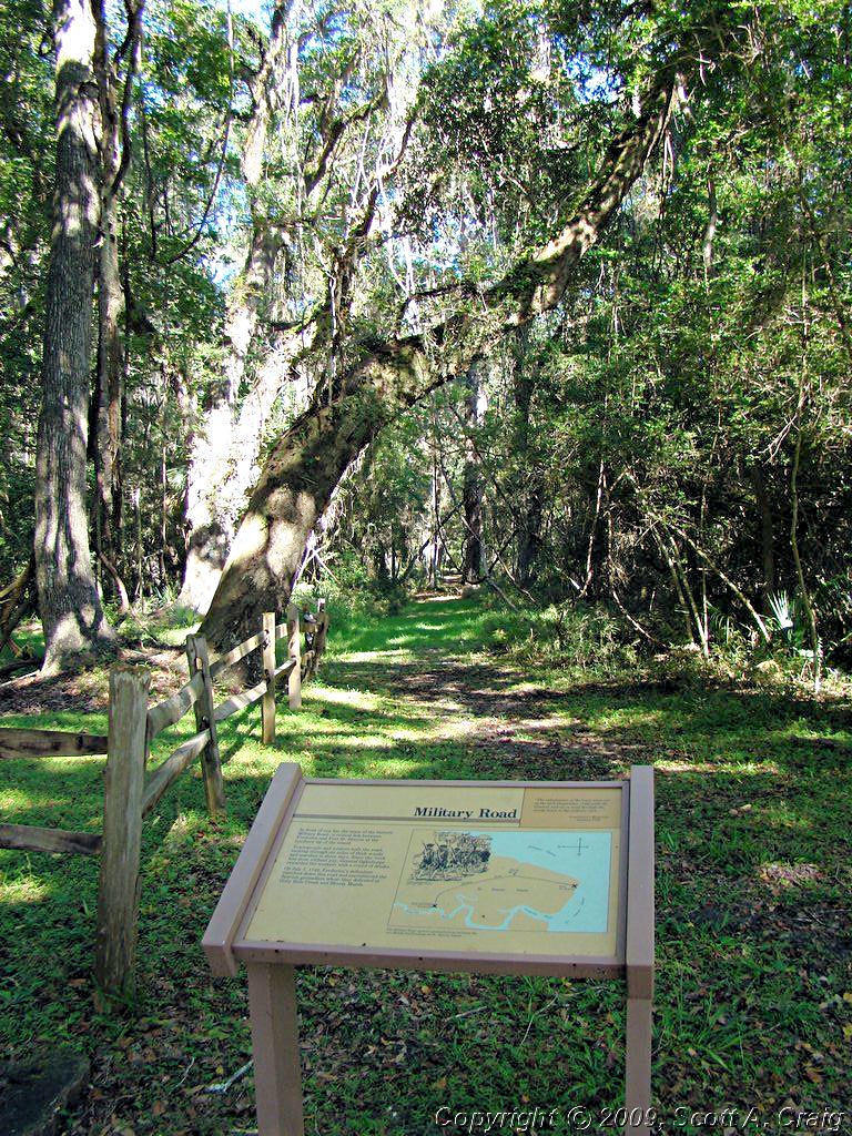
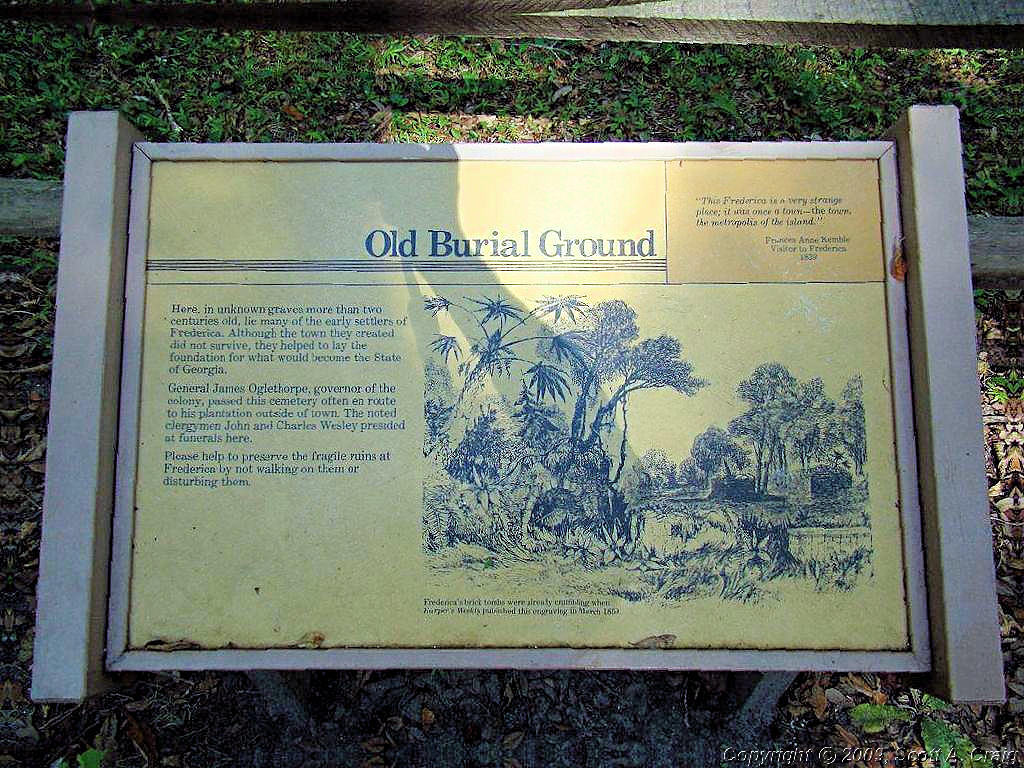
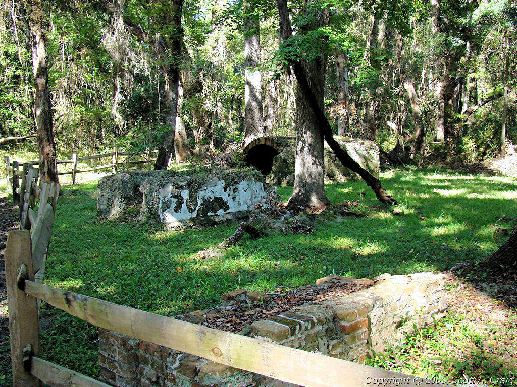
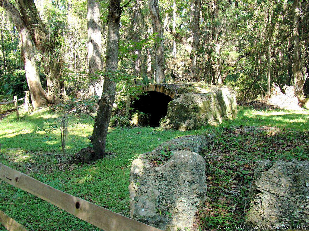
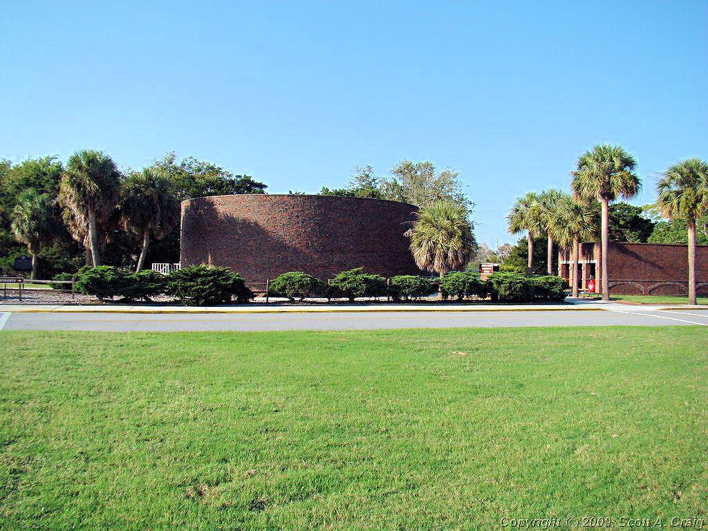
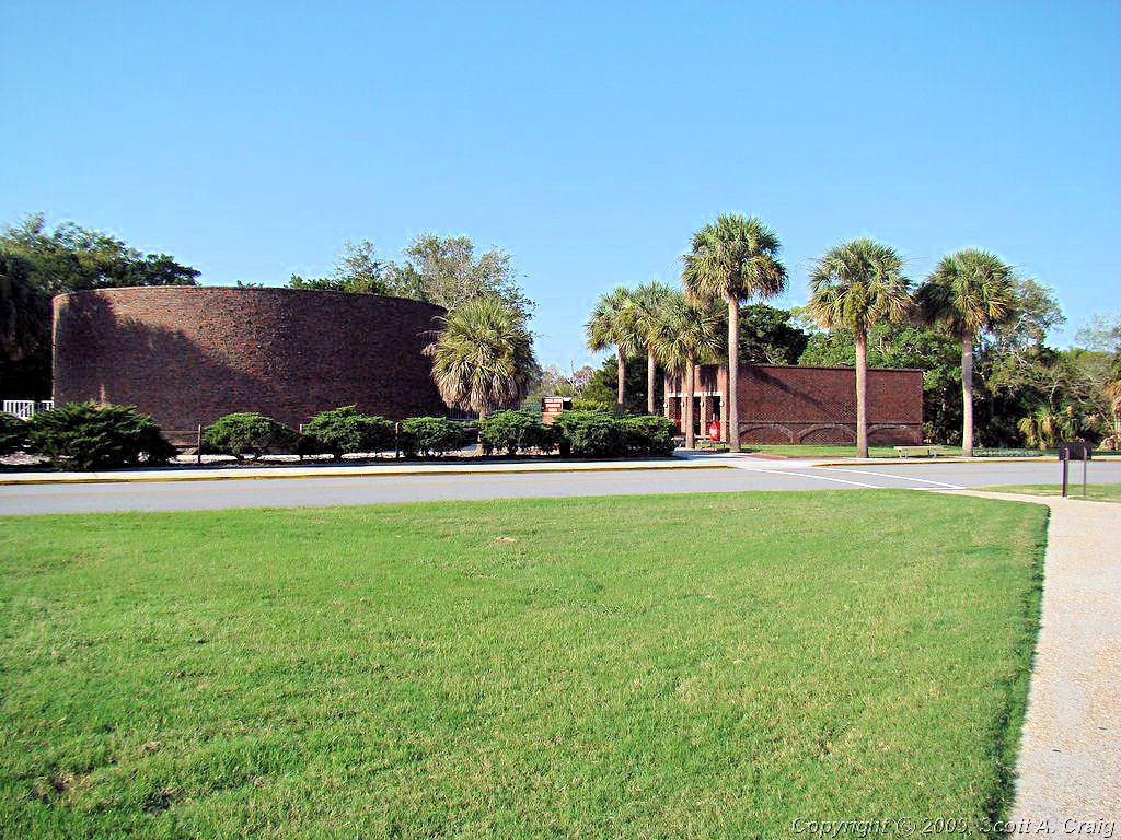
One more stop for today. I rode up I-95 about 65 miles to the Ft. Frederica NM northeast of Brunswick, GA. (GPS coordinate N31.22297 W81.38897). Per the National Park Web Site, "Georgia's fate was decided in 1742 when Spanish and British forces clashed on St. Simons Island. Fort Frederica's troops defeated the Spanish, ensuring Georgia's future as a British colony. Today, the archeological remnants of Frederica are protected by the National Park Service." It is a gorgeous facility that is immacutely maintained. It's well worth the trip!
| ||||
 Ft. Frederica NM |
 Ft. Frederica NM |
 Ft. Frederica NM |
||
 Ft. Frederica NM |
 Ft. Frederica NM |
 Ft. Frederica NM |
||
 Ft. Frederica NM |
 Ft. Frederica NM |
 Ft. Frederica NM |
||
 Ft. Frederica NM |
 Ft. Frederica NM |
 Ft. Frederica NM |
||
 Ft. Frederica NM |
 Ft. Frederica NM |
 Ft. Frederica NM |
||
|
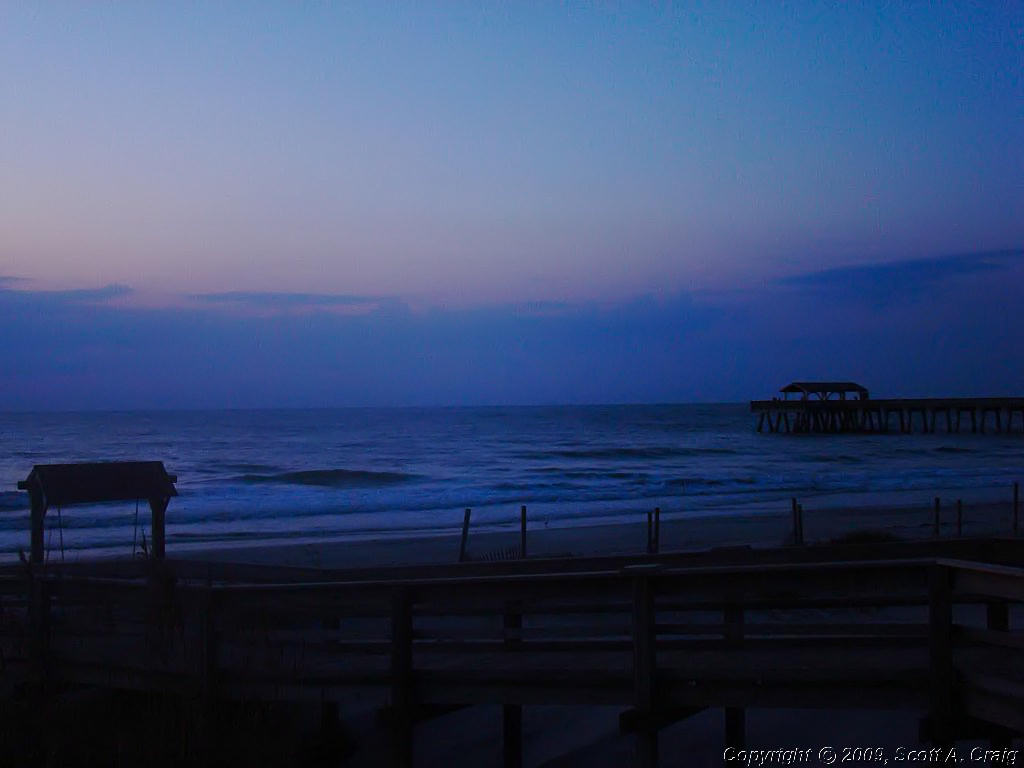
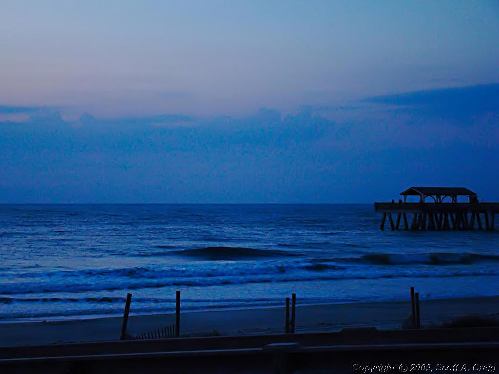
I had planned on staying on St. Simons Island overnight and heading north to Ft. Pulaski the following morning. I couldn't find a motel that appealed to me so I decided to head on north and stay nearer to Ft. Pulaski. Ft. Pulaski is east of Savannah, GA so I knew I'd be able to find something in that area. I'm glad I did! I checked my GPS for motels in the area of Ft. Pulaski and it showed several on Tybee Island only a few miles from the site. I had never heard of Tybee Island but it sounded good to me. I was tired so I just picked the first one that looked good and it was great! Tybee Island is a typical beach town but it was just my style, laid back and easy going. I had a great seafood dinner, got everything ready for Monday, and got some well-needed sleep.
| ||||
| Monday September 15, 2008 - Tybee Island, GA to Asheville, NC - 418 miles | ||||
|
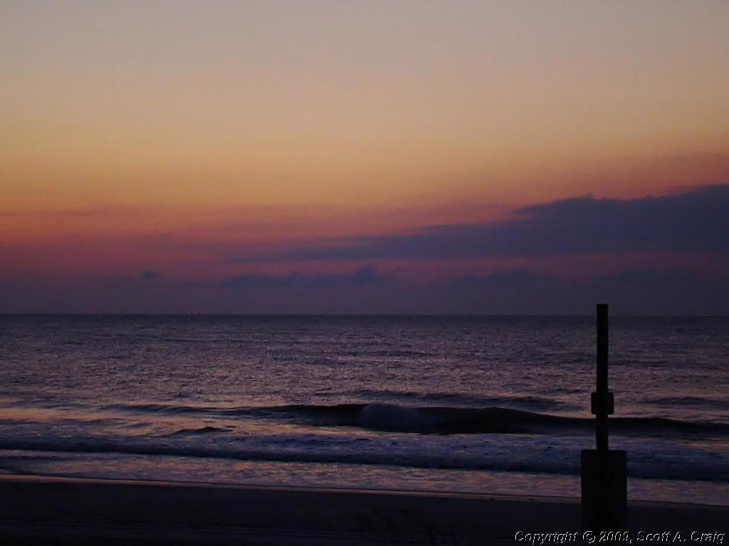
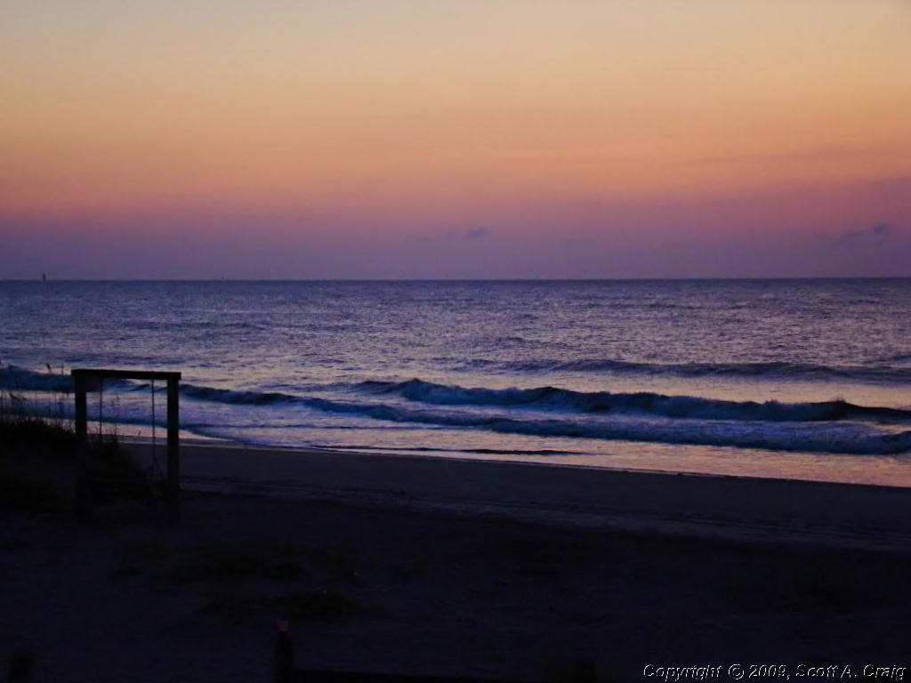
Tybee Island, GA is just the coolest place in the world. The little motel I stayed looked like something from the 50's but it was privately owned, clean as a hospital, and really nice. Unlike many coastal areas where property is owned to the low tide line it appears that on Tybee Island there is a strip of public beach all the way around. Property is owned to the beach, but the beach is public so that EVERYONE can enjoy it, not just those staying in the motels. I woke early as usual and when the sun came up I had already taken a shower and was waiting on the beach for it to show up.
| ||||
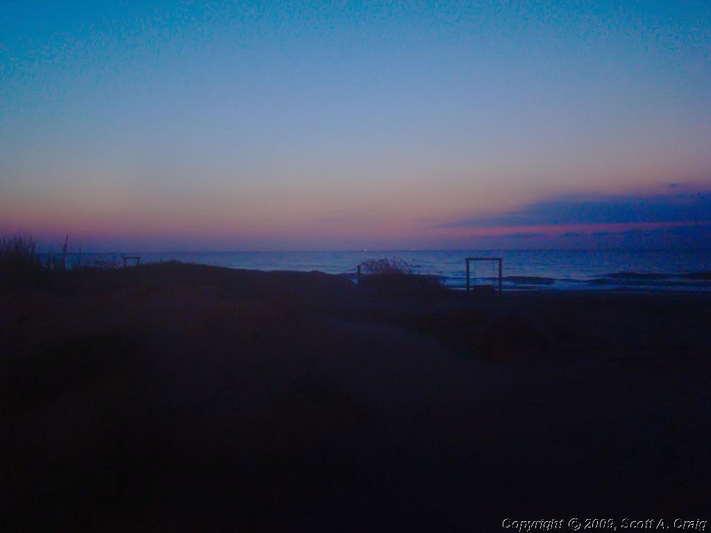 Tybee Island Beach at dawn |
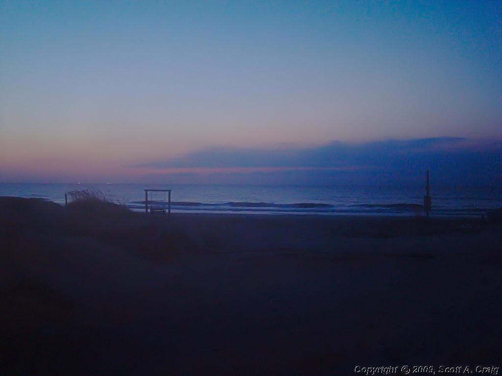 Tybee Island Beach at dawn |
 Tybee Island Beach at dawn |
||
 Tybee Island Beach at dawn |
 Tybee Island Beach at dawn |
 Tybee Island Beach at dawn |
||
 Tybee Island Beach at dawn |
 Tybee Island Beach at dawn |
 Tybee Island Beach at dawn |
||
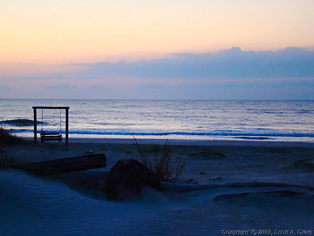 Tybee Island Beach at dawn |
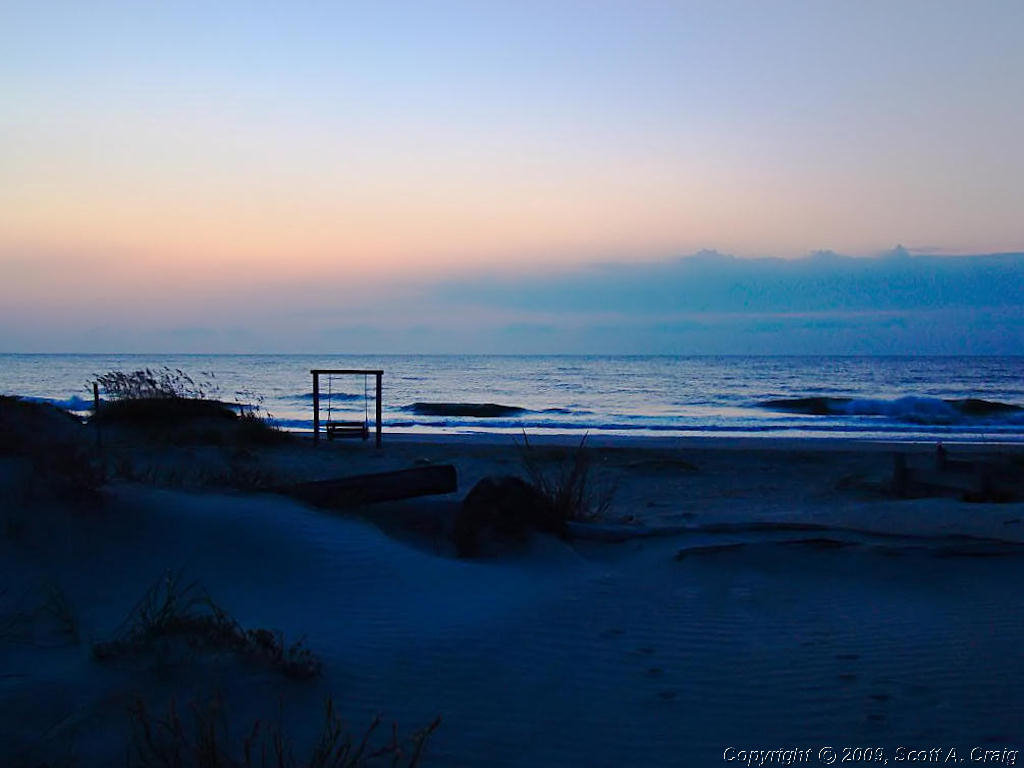 Tybee Island Beach at dawn |
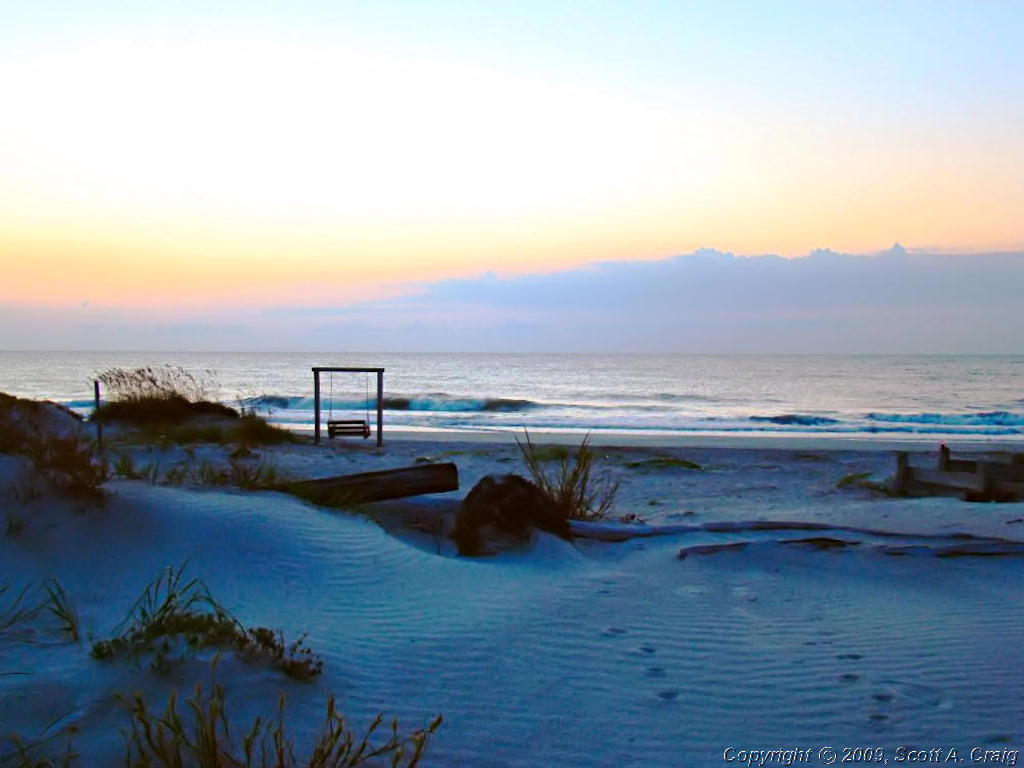 Tybee Island Beach at dawn |
||
|
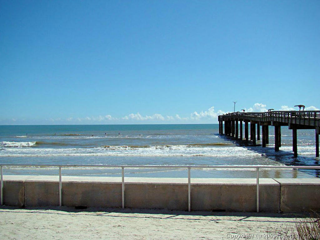
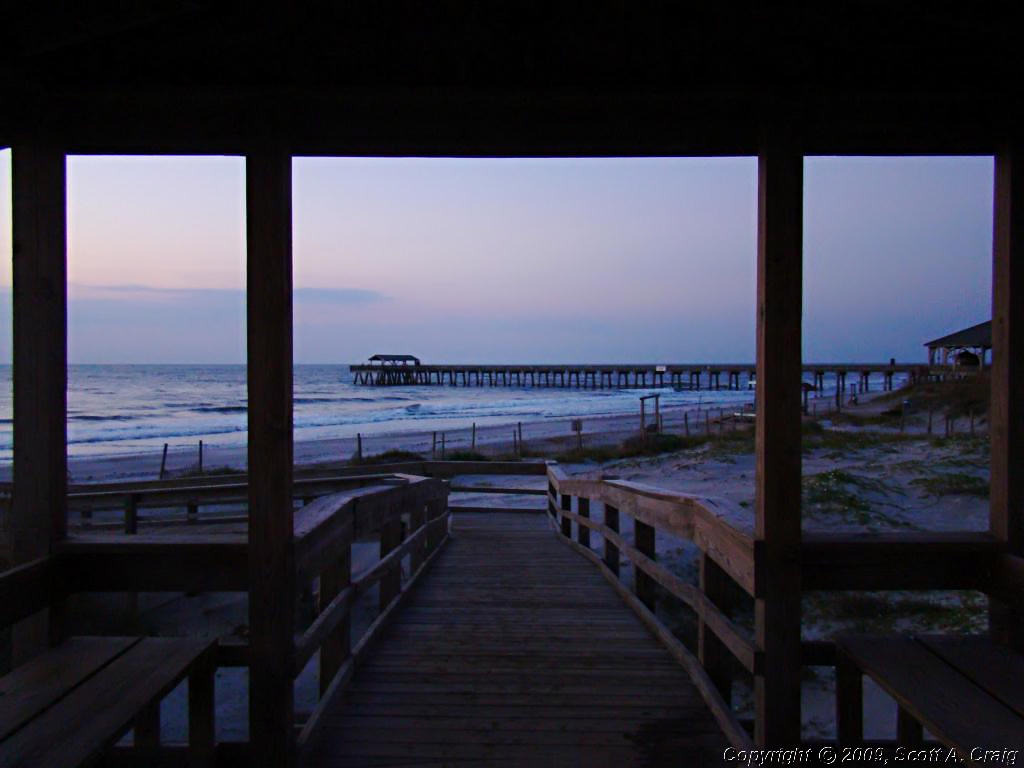
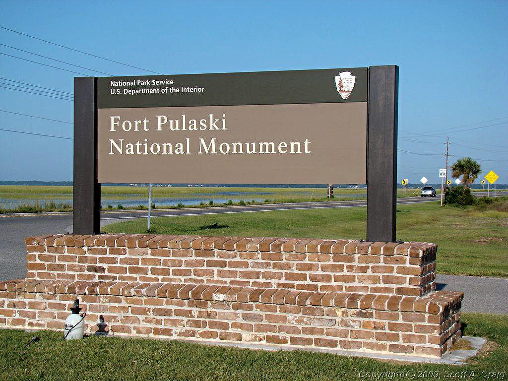
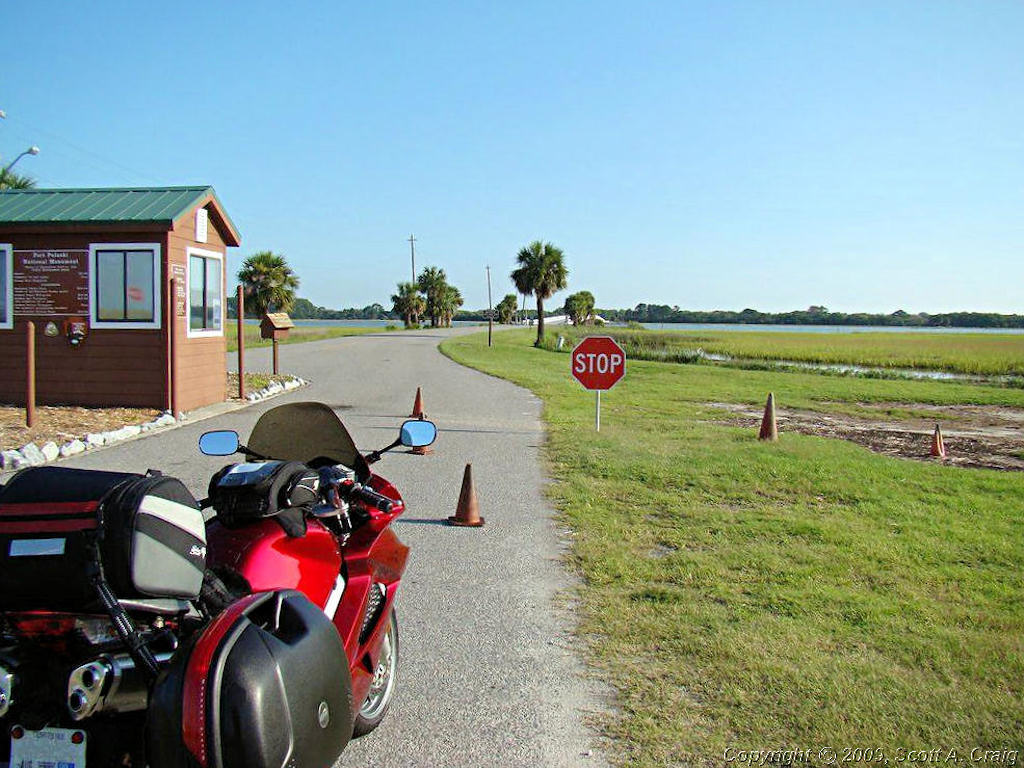
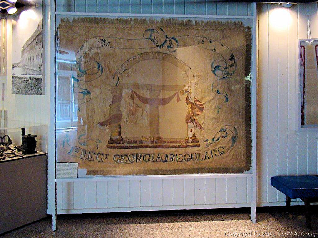
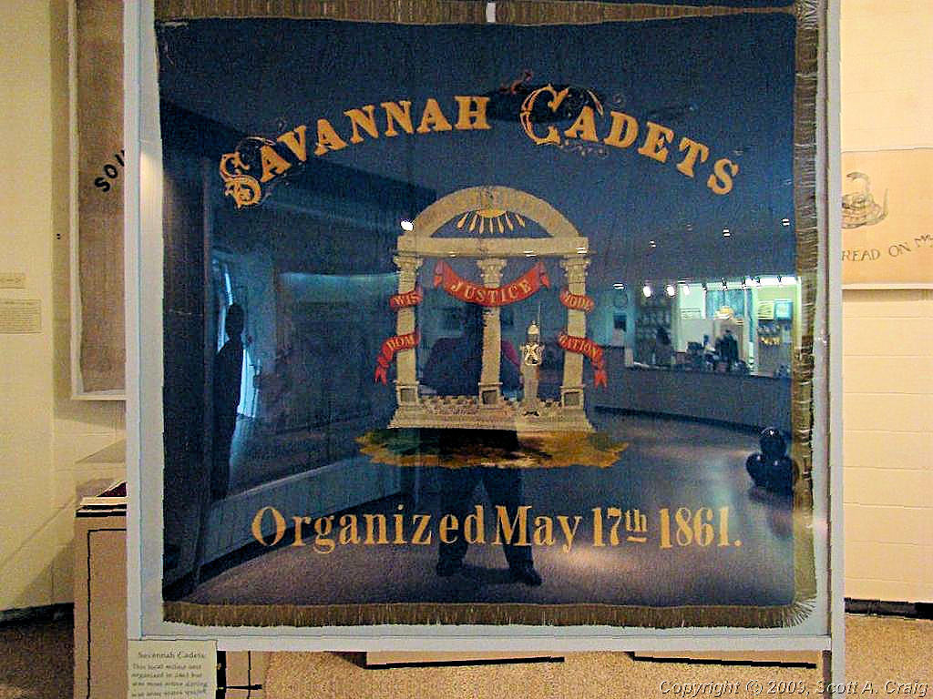
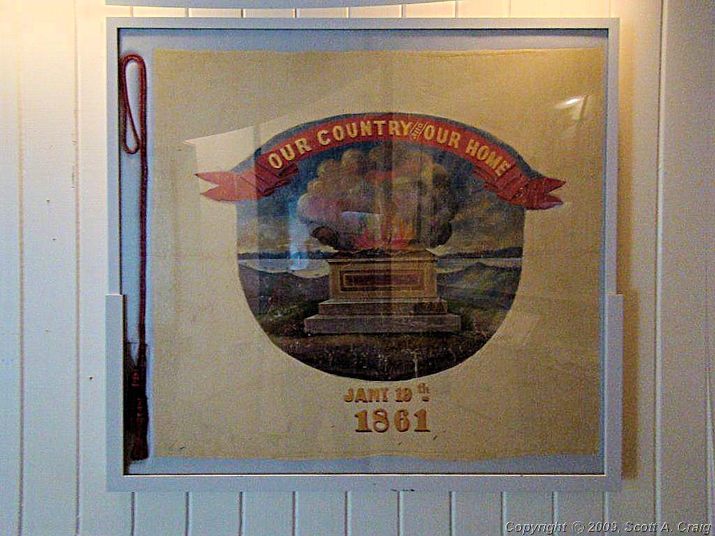
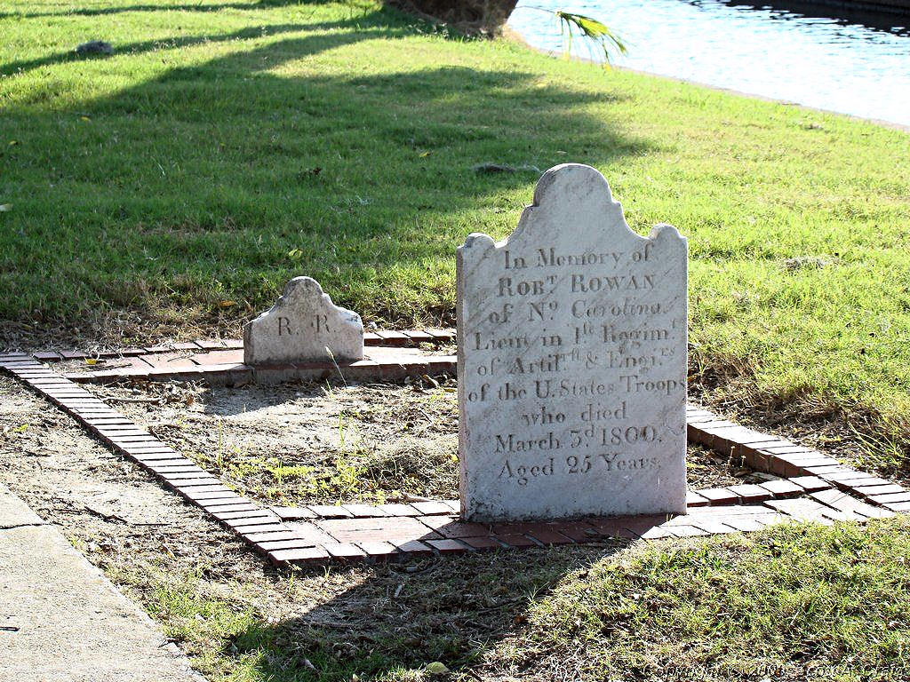
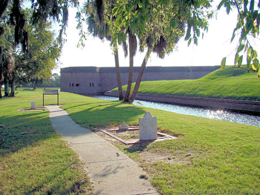
I went back to the motel and got everything ready to go. By then it was about 7:30, Ft. Pulaski doesn't open until 9:00, and I was about 10 minutes away. I figured the best way to kill a little more time was to go walk on the beach, so i did! A little before 9:00 I headed to Ft. Pulaski National Monument (GPS coordinates N32.01882 W80.89975) and got there about the time they opened the gates. Yet another fantastic site, this seems to be the trip for that. The fort itself is reached over a causeway crossing a channel of the Atlantic Ocean. When I crossed I was dodging gulls and other birds who were perched on the bridge looking for fish in the water a few feet below. You can see the bridge in the background of the second photo below.
| ||||
 Ft. Pulaski NM |
 Ft. Pulaski NM |
 Ft. Pulaski NM |
||
 Ft. Pulaski NM |
 Ft. Pulaski NM |
 Ft. Pulaski NM |
||
 Ft. Pulaski NM |
 Ft. Pulaski NM |
 Ft. Pulaski NM |
||
 Ft. Pulaski NM |
 Ft. Pulaski NM |
 Ft. Pulaski NM |
||
 Ft. Pulaski NM |
||||
|
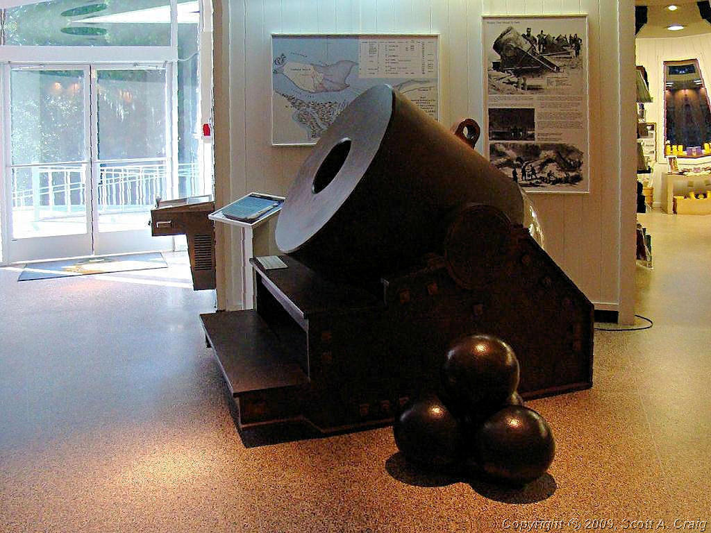
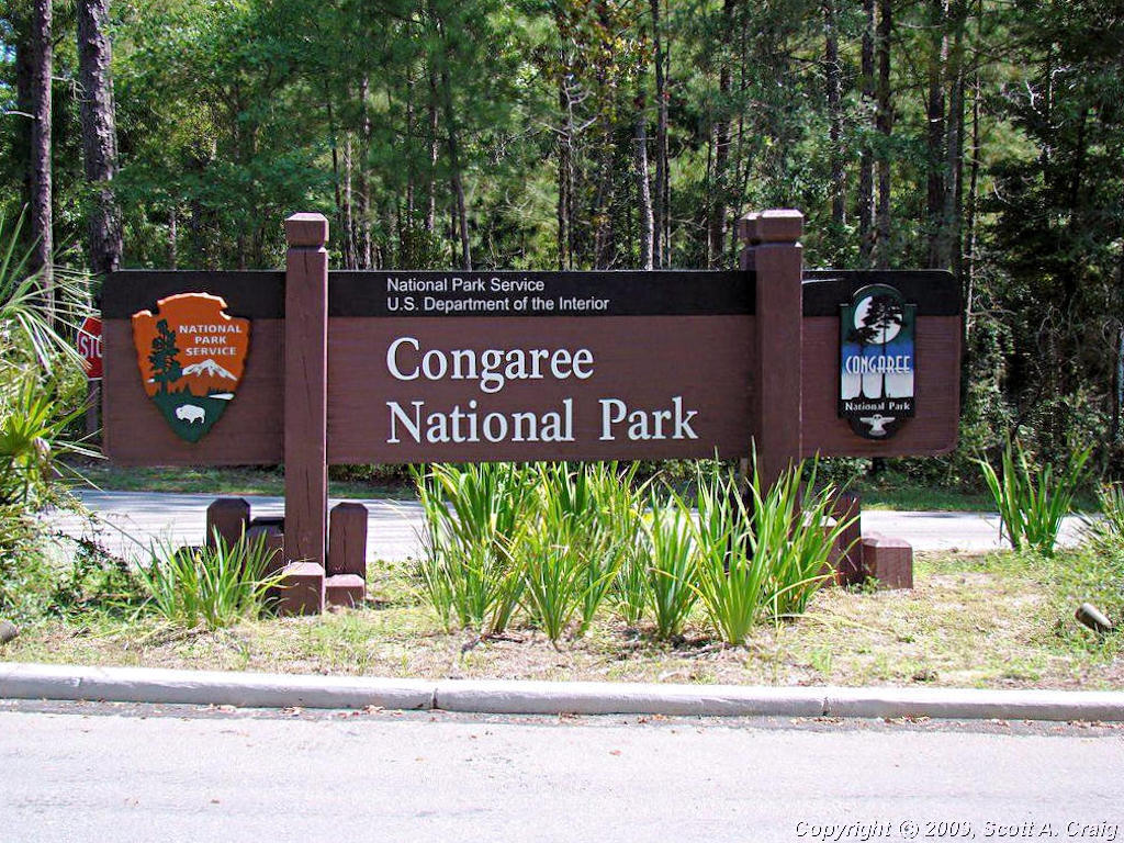
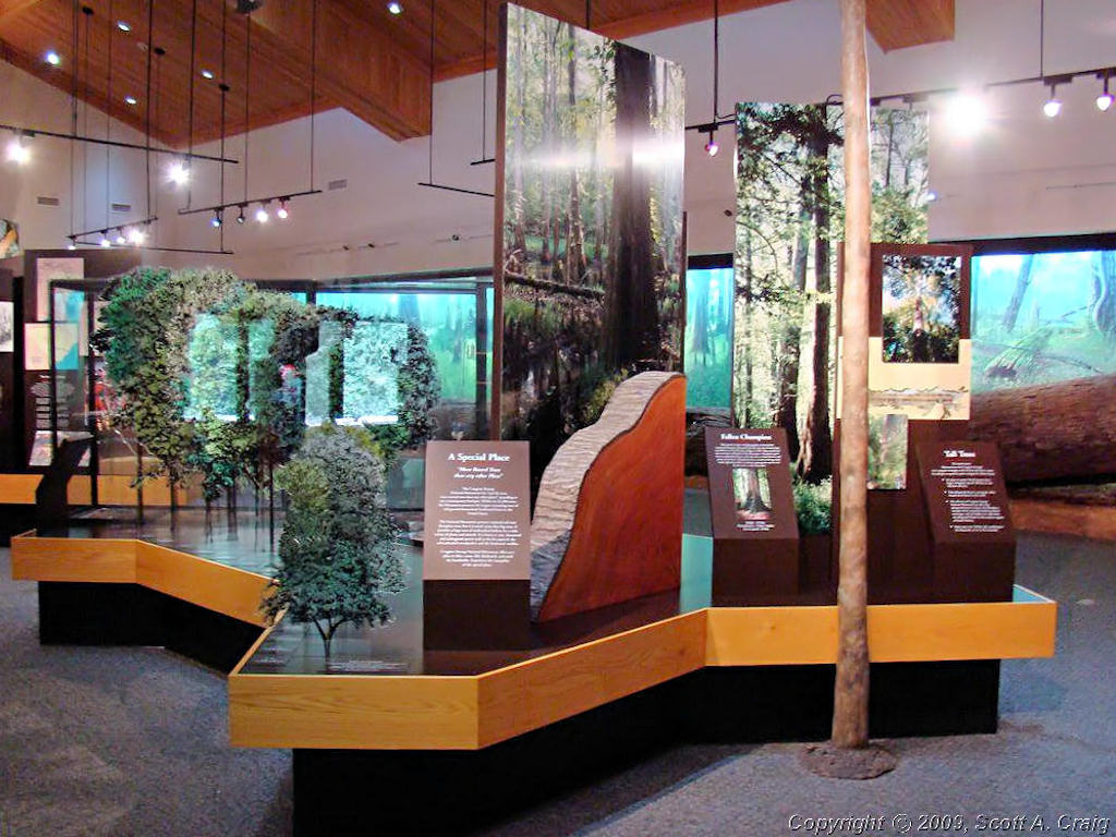
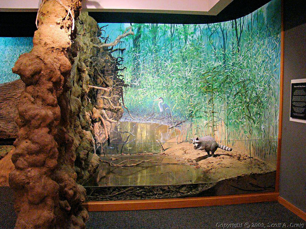
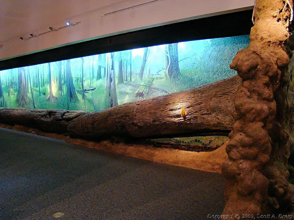
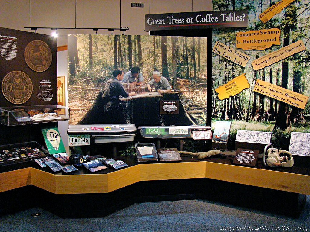
Next was a pretty good haul up I-96 and I-26 to Congaree National Park southeast of Columbia, SC. (GPS coordinates N33.83024 W80.82309). It was about 170 miles between the two sites but it was an easy run. Not much to look at on the way except interstate though. Congaree National Park used to be Congaree Swamp National Monument until 2003 when they became a National Park. It is a beautiful site, if you are into swamps, but I got kind of put off when I saw that the "Mosquito Meter" was pointing between "Aggressive" and "Ravenous" (no, I didn't make that up!). From the NPS Web Site, "Welcome to the largest remnant of old-growth floodplain forest remaining on the continent! Experience national and state champion trees, towering to record size amidst astonishing biodiversity. Walk, paddle or just relax within this dynamic floodplain ecosystem. Beauty and tranquility reign supreme in the midst of this natural treasure." Personally I just took a few photos inside the visitors center and left the walking to the more adventurous souls.
| ||||
 Congaree National Park |
 Congaree National Park |
 Congaree National Park |
||
 Congaree National Park |
 Congaree National Park |
 Congaree National Park |
||
 Congaree National Park |
 Congaree National Park |
 Congaree National Park |
||
|
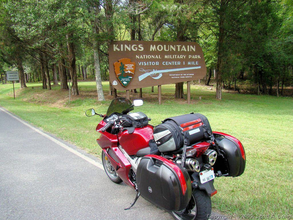
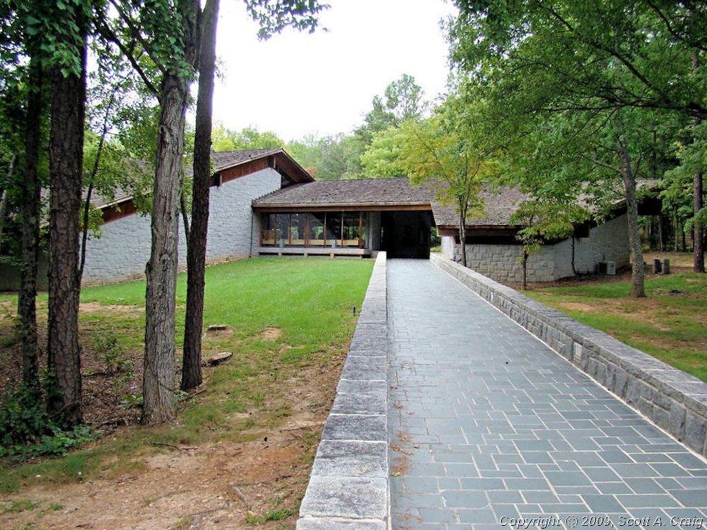
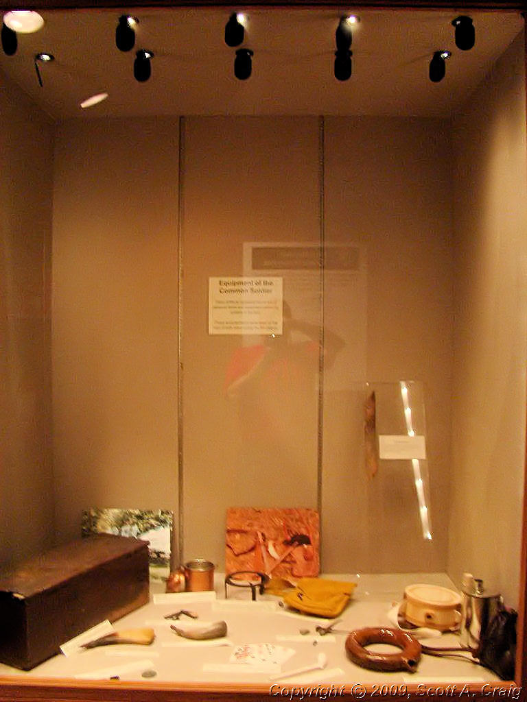
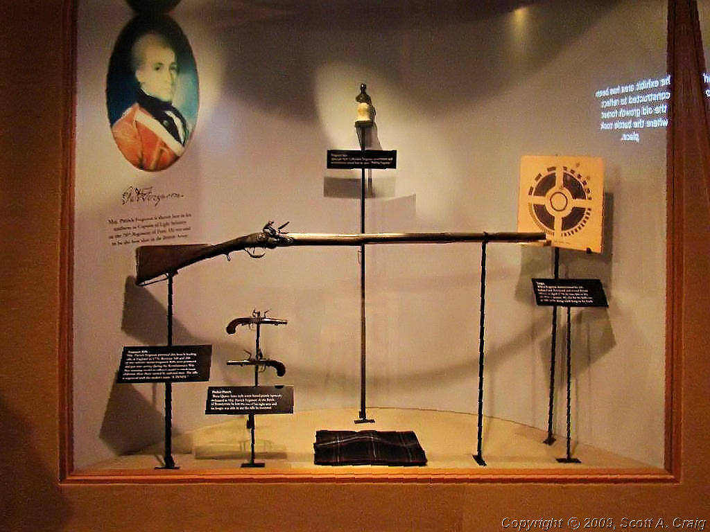
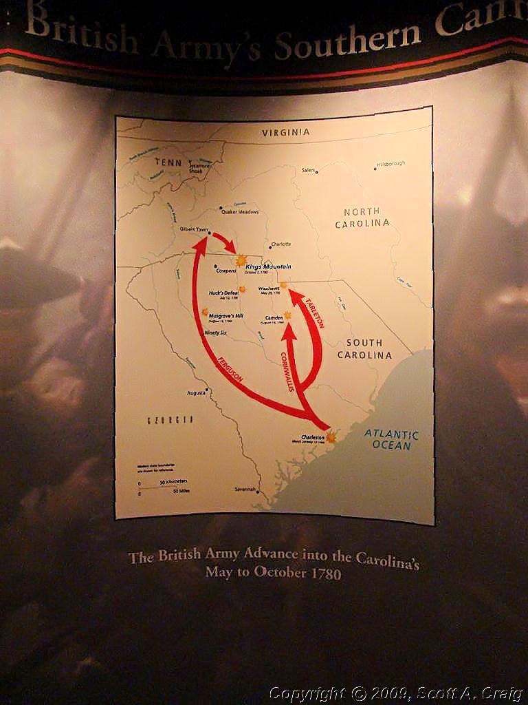
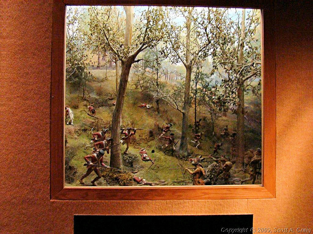
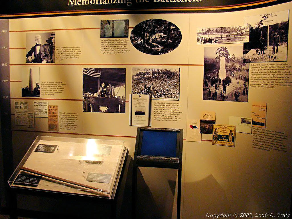
After Congaree I headed north to Kings Mountain National Military Park just south of the North Carolina border (GPS coordinates N35.14090 W81.37665). This was another pretty good haul of about 115 miles and time was getting tight again. I wanted to visit Cowpens National Battlefield as well and when I got to Kings Mountain I had about 90 minutes left to do both of them. Luckily Cowpens was pretty close to Kings Mountain, only about 30 miles, so I had a few minutes to look around and take some photos.
| ||||
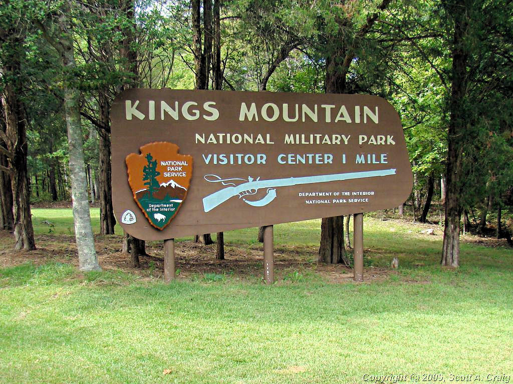 Kings Mountain National Military Park |
 Kings Mountain National Military Park |
 Kings Mountain National Military Park |
||
 Kings Mountain National Military Park |
 Kings Mountain National Military Park |
 Kings Mountain National Military Park |
||
 Kings Mountain National Military Park |
 Kings Mountain National Military Park |
 Kings Mountain National Military Park |
||
 Kings Mountain National Military Park |
 Kings Mountain National Military Park |
 Kings Mountain National Military Park |
||
|
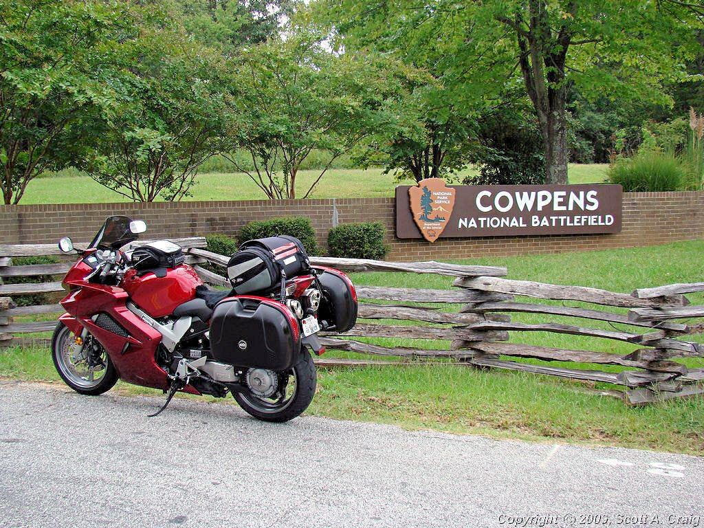
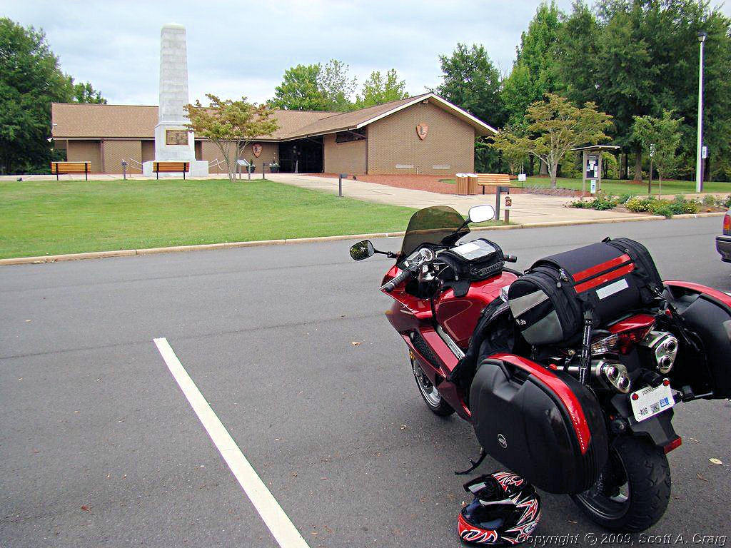
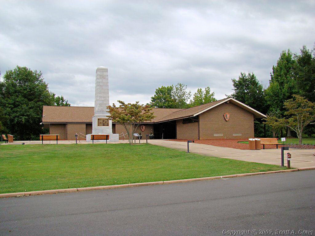
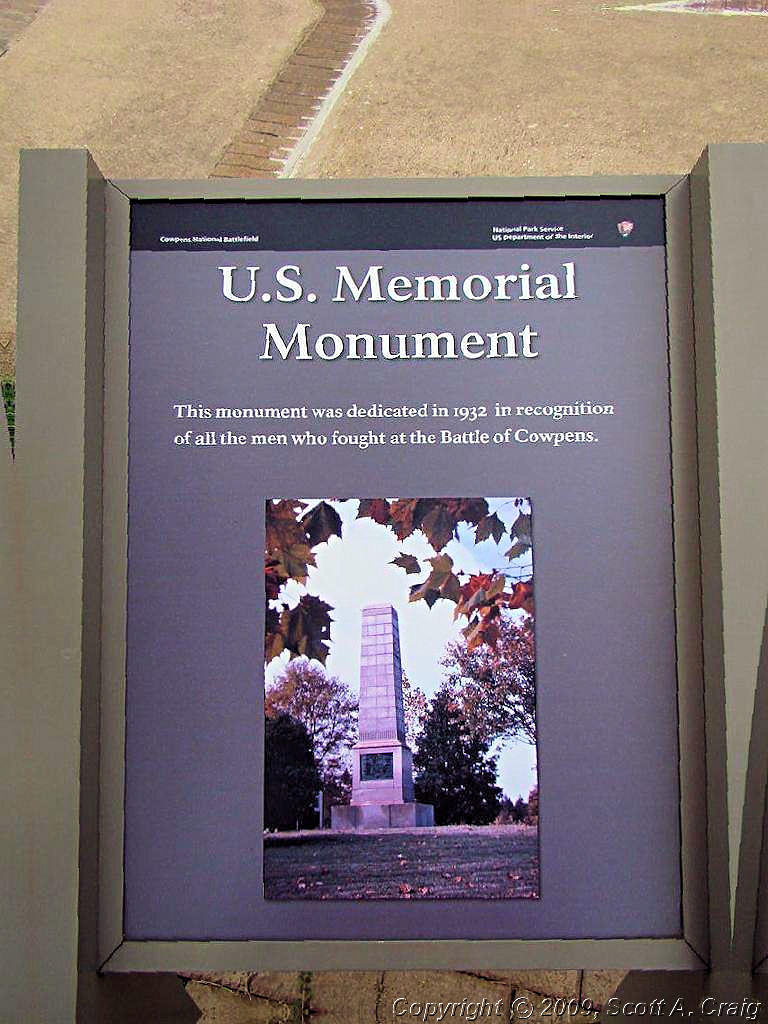
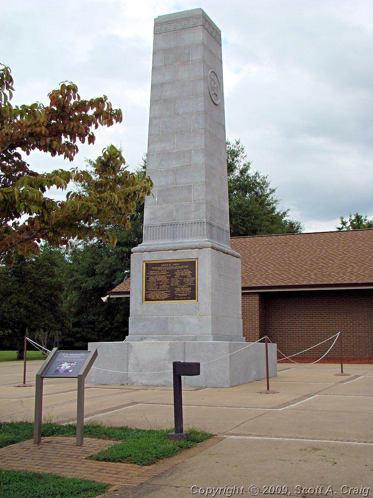
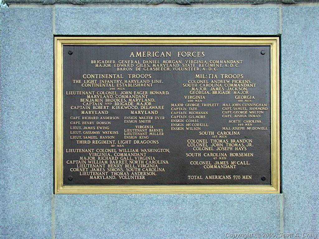
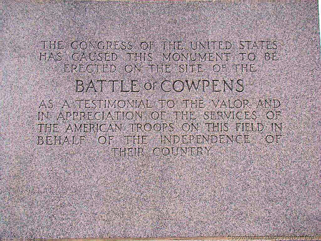
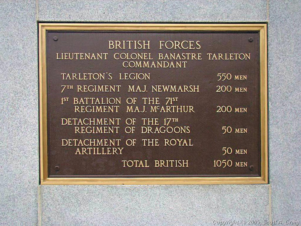
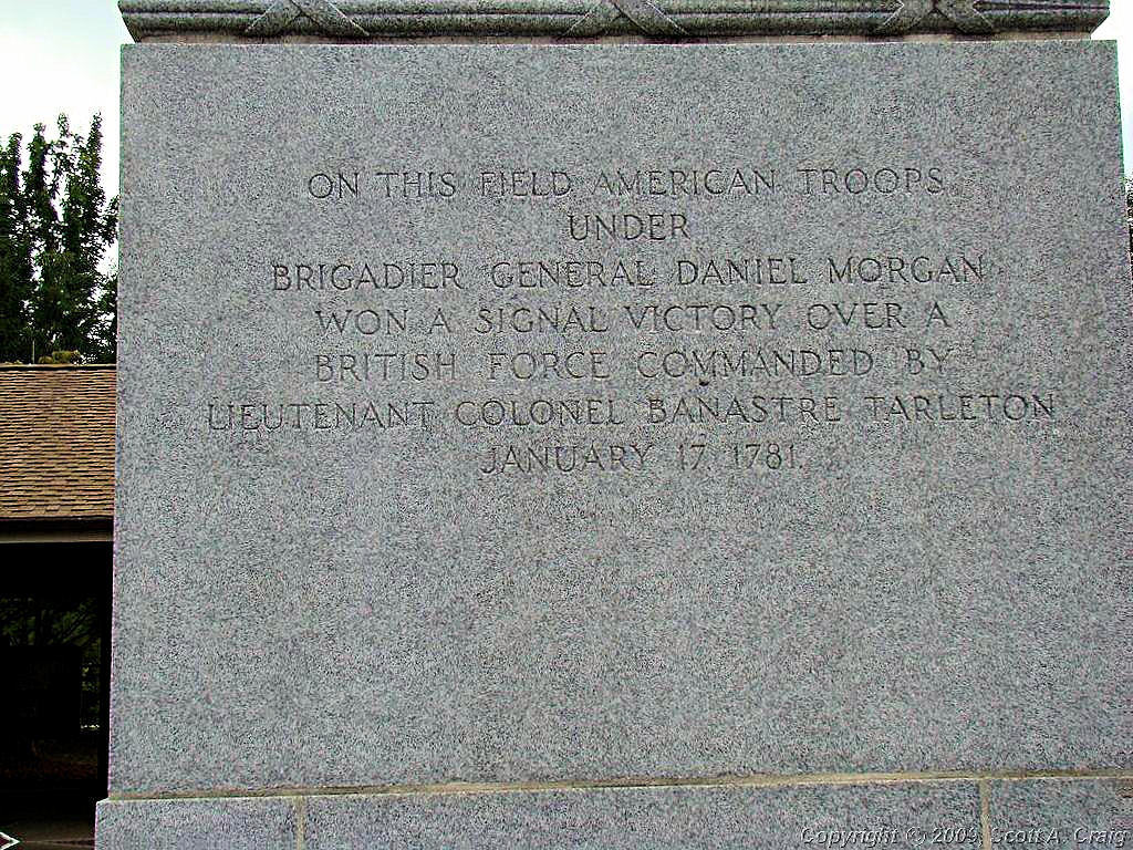
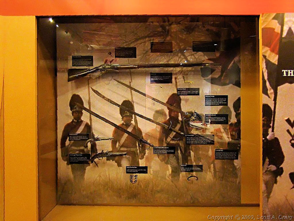
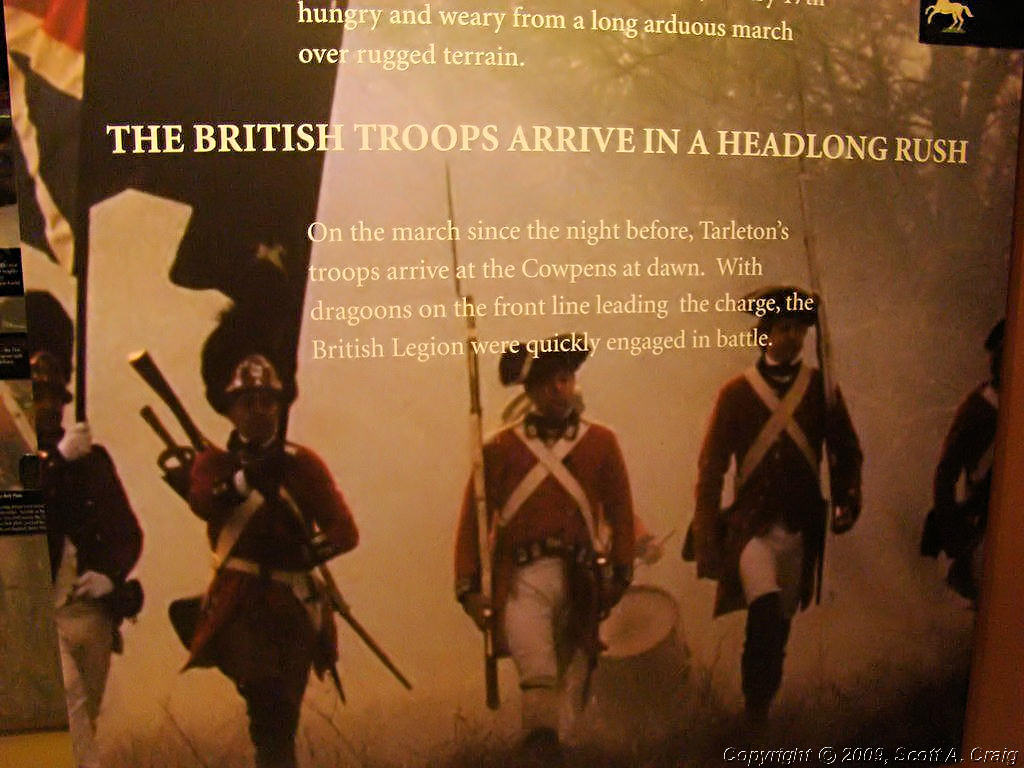
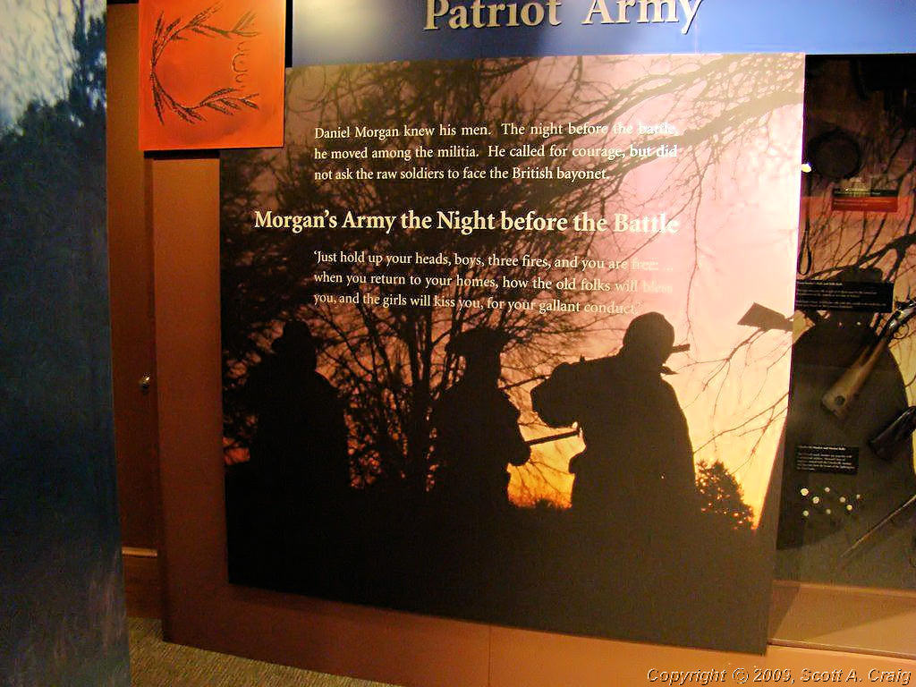
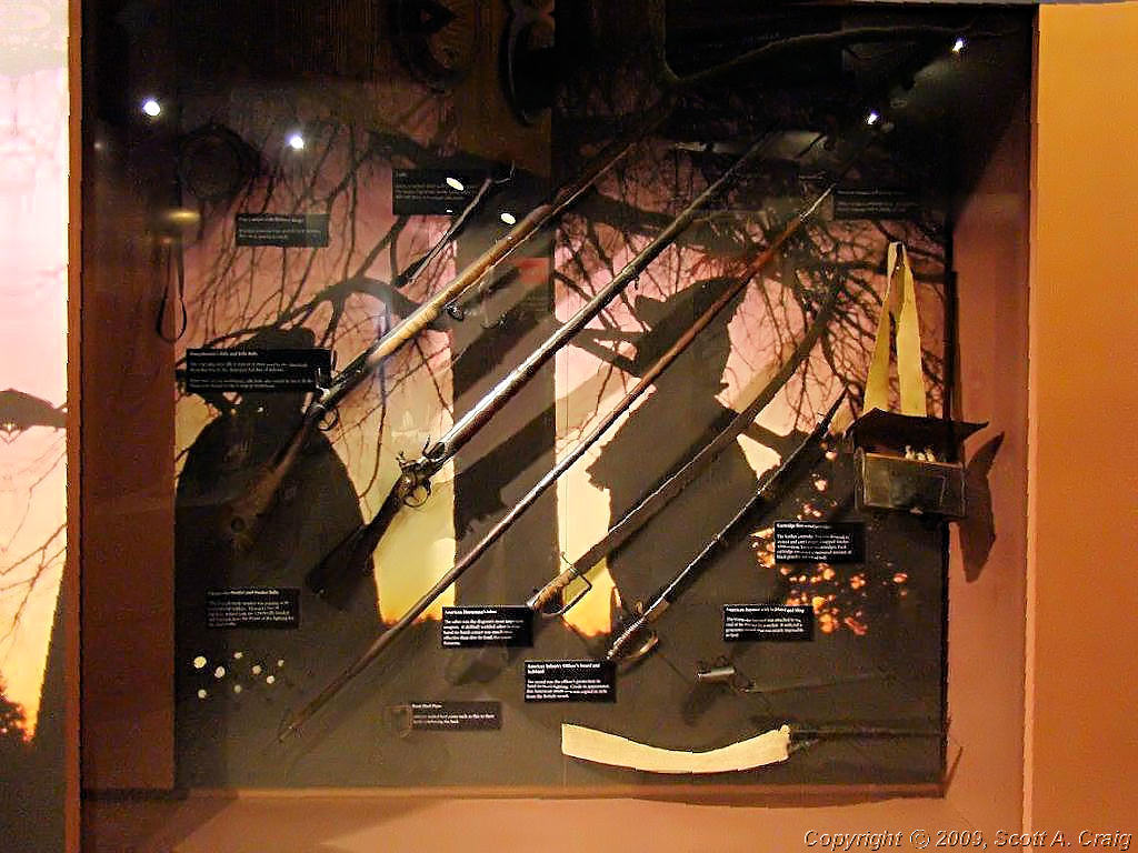
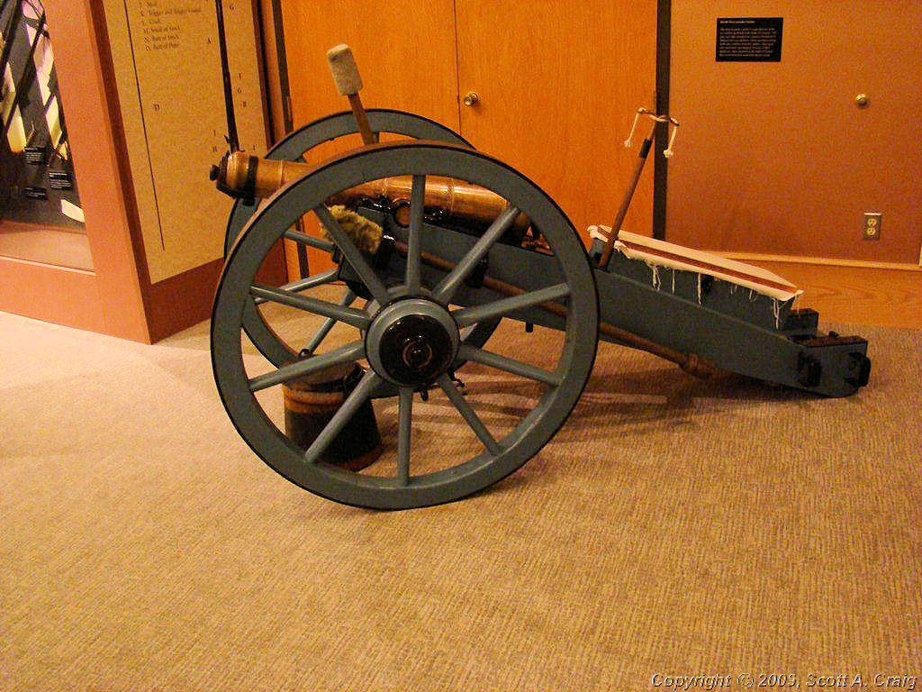
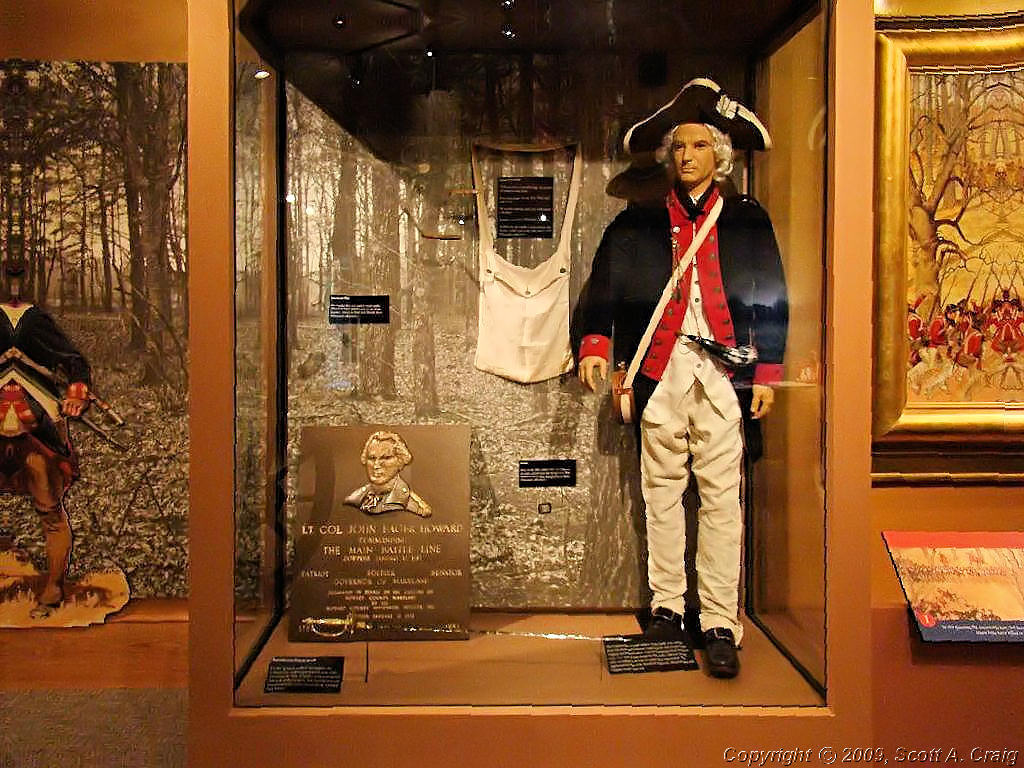
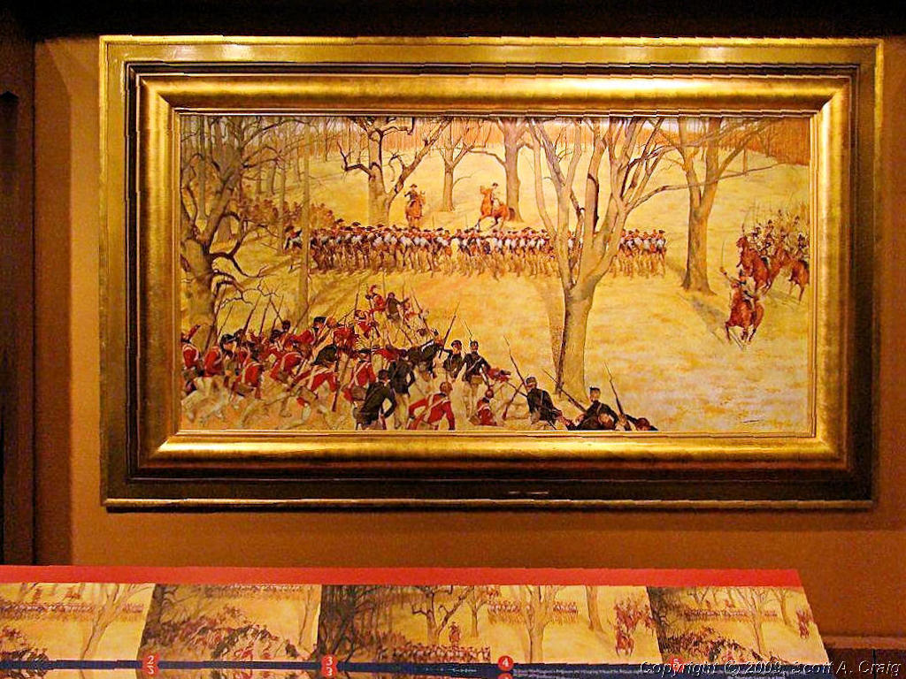
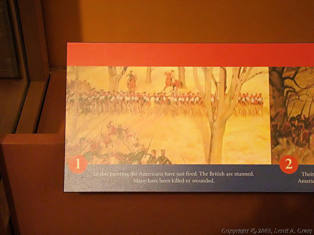
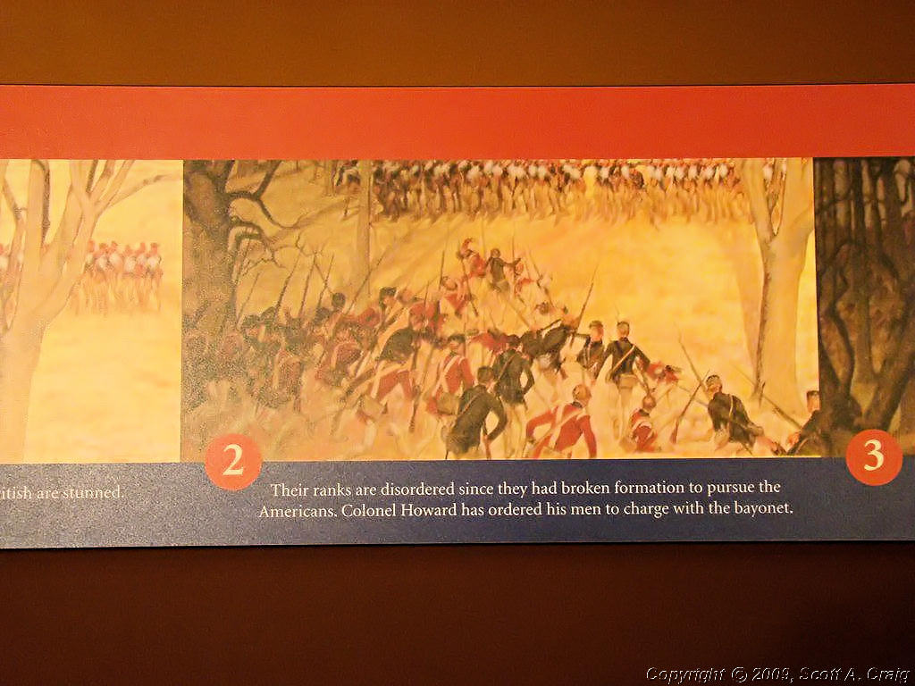
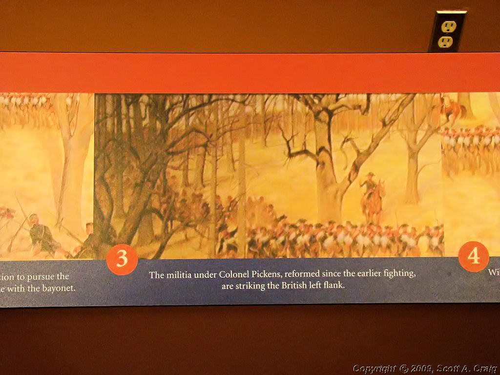
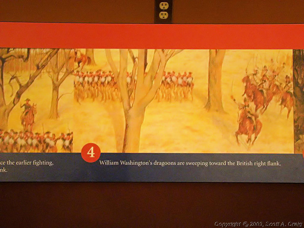
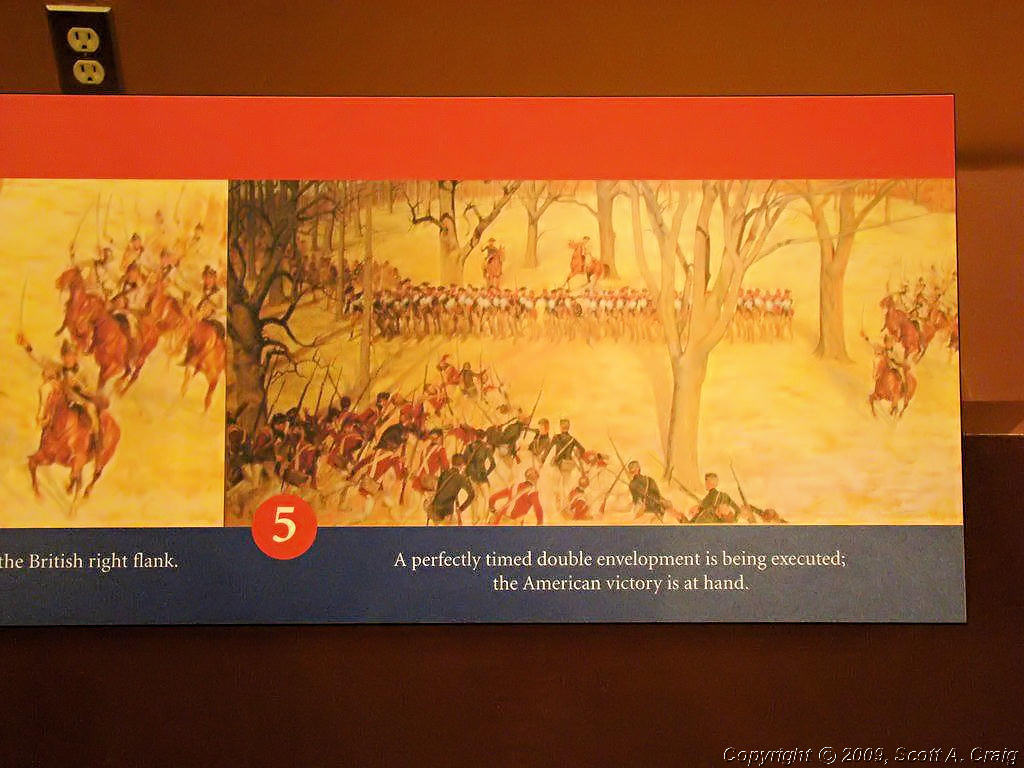
One more stop and the Passport Stamp part of this trip is over. I've been trying to get to Cowpens and Kings Mountain since last summer when I was in East Tennessee and decided to skip going that far south. I got there this time though! Cowpens National Battlefield is located just southeast of Chesnee, SC (GPS coordinates N35.13701 W81.81850)and is at the location that, "...this Revolutionary War site commemorates the place where Daniel Morgan and his army turned the flanks of Banastre Tarleton's British army. This classic military tactic, known as a double envelopment, was one of only a few in history."
| ||||
 Cowpens National Battlefield |
 Cowpens National Battlefield |
 Cowpens National Battlefield |
||
 Cowpens National Battlefield |
 Cowpens National Battlefield |
 Cowpens National Battlefield |
||
 Cowpens National Battlefield |
 Cowpens National Battlefield |
 Cowpens National Battlefield |
||
 Cowpens National Battlefield |
 Cowpens National Battlefield |
 Cowpens National Battlefield |
||
 Cowpens National Battlefield |
 Cowpens National Battlefield |
 Cowpens National Battlefield |
||
 Cowpens National Battlefield |
 Cowpens National Battlefield |
 Cowpens National Battlefield |
||
 Cowpens National Battlefield |
 Cowpens National Battlefield |
 Cowpens National Battlefield |
||
 Cowpens National Battlefield |
 Cowpens National Battlefield |
|||
|
When I went into the Visitor Center at Cowpens I was hot! As I recall the thermometer on my bike showed 88°. When I came out it took me a few minutes to realize that something was different. I checked the thermometer on my bike and it was 77°! The temperature had dropped 11 degrees in the few minutes that I was in the visitors center. I knew that there was a front coming through but I didn't realize it was shaped like a knife! Oh well, it felt good, it wasn't raining, and the rangers were running everyone out of the park. I hopped on my bike and started north and west. At this point I had accomplished what I had set out to do. I still had several days of vacation left, after all it was just Monday! The problem was the gas company bastards playing their "Let's Jack Gas Price" games. A couple of months ago they were gouging us with higher prices and their excuse was that the "Arabs have raised the price of crude oil." This month's excuse is that the hurricanes in the Gulf of Mexico have disrupted supplies. The bottom line is that the worthless slime jacked the price of gas AGAIN plus they claim that they are having difficulty getting supplies to the gas stations. I say it's load of crap and it's just like the 70's all over again. They are simply inventing excuses to jack gas prices higher than they have ever been in history. And just think, if that idiot Obama is elected president we can expect even more of this! Ok, ok, I'm calm again. I would have liked to head on up the coast to Richmond, VA but I didn't know whether or not I'd be able to find gas. To be safe I headed toward home. I grabbed a room at a motel west of Asheville, NC checked over my bike, cleaned up my gear, and called it a day.
| ||||
| Tuesday September 16, 2008 - Asheville, NC to Nashville, TN - 290 miles | ||||
|
I woke up today after a solid night's sleep, the first I've had in several nights. Unfortunately when I walked outside I was greeted by light rain. I hate riding in rain especially when it's on interstates I'm not familiar with. To make matters worse I-40 between Asheville, NC and Knoxville, TN is very steep, winding, and mountainous. It's fun when it's dry, it isn't as much when it's wet. Reluctantly I went back into my motel room, put the rain covers on my tail bag and tank bag, dug out my rain gear, and got ready to get wet. To my surprise the rain had quit when I went back out and left behind a heavy, wet mist. Still wet, but better than rain! I headed north on I-40 west, I realize that doesn't make sense but I-40 west really does go north in that area. By the time I got just south of Knoxville the sun was starting to peek out so I gladly stopped and got rid of my rain gear. I don't know whether Hurricane Ike had dragged a huge mass of cooler air from Canada down south or whether it simply caused a high-pressure dome that had been allowing warm air to move up from the Gulf of Mexico to move. Regardless of the method it was about 15 degrees cooler now than when I had left 4 days before. The cool air felt great and I enjoyed it all the way back home. When I left Nashville early in the morning it was about 75° and when I got back to Nashville in the afternoon it was also about 75°. That really felt nice for a change!
| ||||
| Summary ... | ||||
|
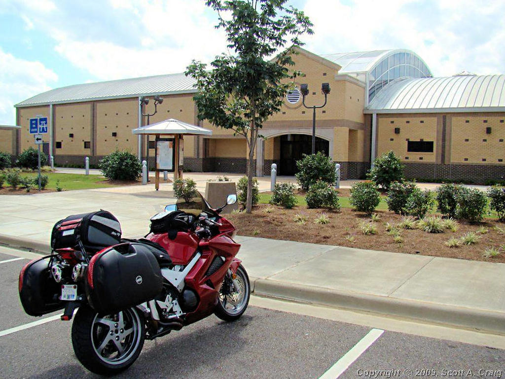
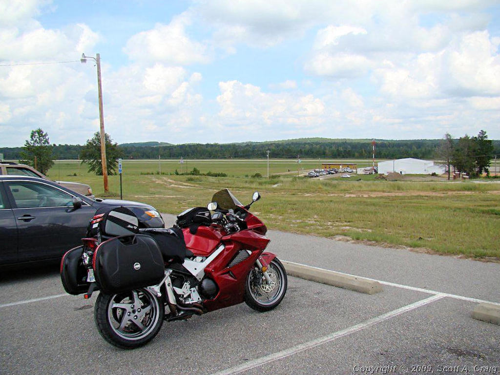
What a great trip! I left home early on Saturday morning September 13 and got back home Tuesday afternoon September 16. During that time I rode 1,800 miles in 6 states, visited 14 National Parks, and collected 16 National Park Passport Stamps as well as 4 more undated "Bonus" stamps. In one day I went from the sultry hot of the Atlantic Ocean at Tybee Island, GA to the misty cool of the Smoky Mountains at Asheville, NC. What a ride! My VFR performed magnificently, and I had an absolute blast for 4 days. I would have stayed longer had I not been concerned about the availability of gasoline, my thanks to the oil companies and the US government for that! This is something that every rider should do from time to time, just get out and ride somewhere! See the scenery and enjoy our country. Can we do it again? I'm already looking forward to the next one. The 16 National Park Passport Stamps I collected brought my total to 87 stamps in 13 states. This is a low number compared to some collectors but I'm not trying to win any awards and I ride for the enjoyment. To put things more into perspective though, those 13 states cover an area from Missouri east to Virginia and from Illinois south to Florida. I roughly added up the mileage I rode to collect them and it is approximately 10,000 miles, or enough to go from Nashville to Los Angeles FIVE times. But this trip was more about just getting out and riding. We all to frequently get into the habit of jetting from Point A to Point B and never seeing what is in between. When I ride with others I frequently comment that I honestly don't care where we go, and that is the truth. I just love to ride. I love to get out and see things from a motorcycle and I honestly could not care less where I go. From the Smoky Mountains on a misty morning to the seashore on a bright, hot afternoon, or anything in between. I just love to ride and this was a good one!
| ||||
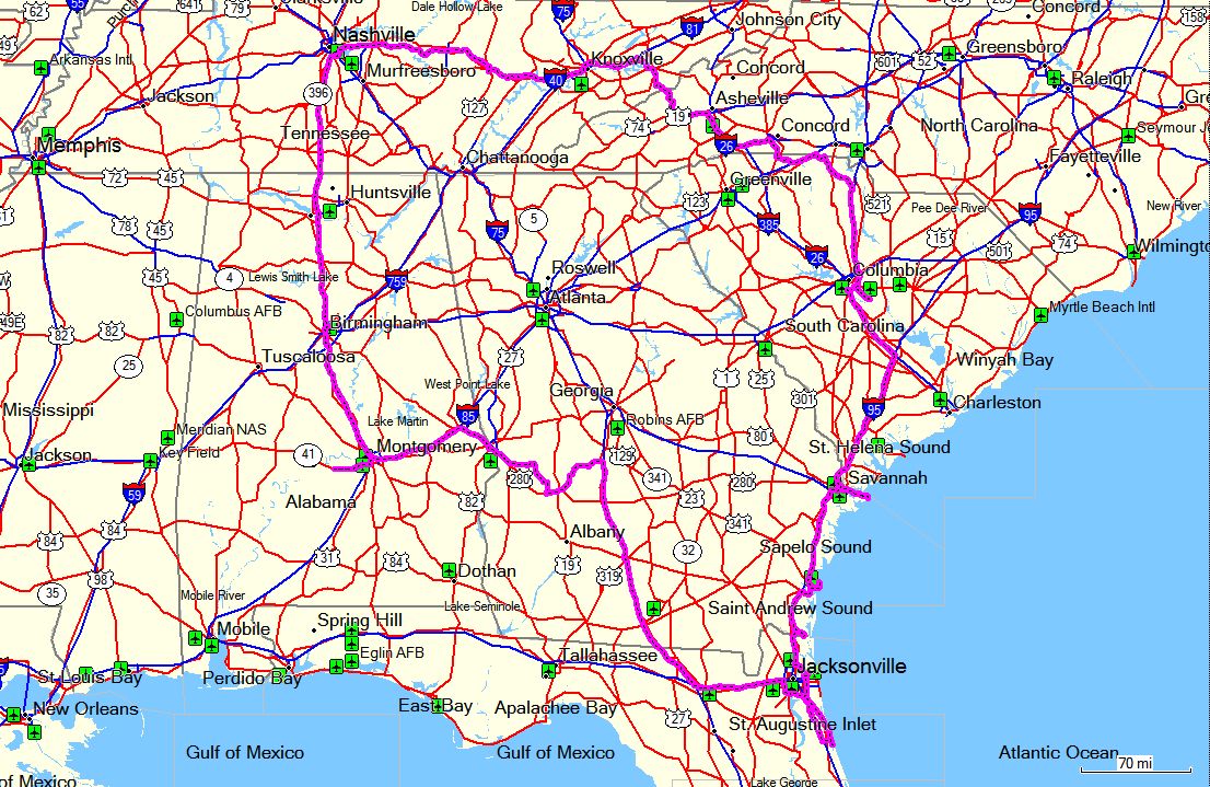 GPS Track Log - September 13-16, 2008 |
||||